Ready to explore this trail?
View Trail Map in AppRegional Classic
A must do route for the area handpicked by local experts.
No permit or fee is required. Trail Canyon Road requires a high-clearance vehicle for the final miles and is prone to washouts from spring snowmelt.
Path Type
There and Back
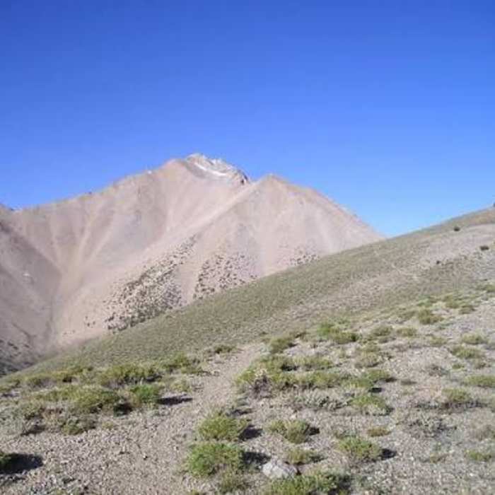
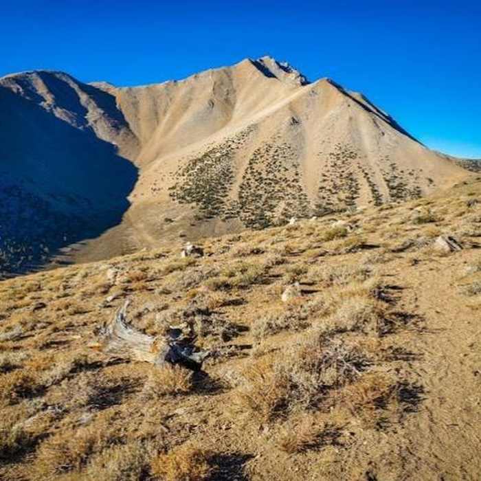
This route starts and ends at the Boundary Peak Trailhead on Trail Canyon Road reaches the summit of Boundary Peak (13,147'), the highest point in Nevada, for a round trip of about 8.5 miles.
From the trailhead, follow the system trail along the south side of Trail Canyon for about to a meadow at 9,800 feet. Beyond the meadow, the trail fades into a use path that climbs through scree to Trail Canyon Saddle (10,800'), on the crest of the White Mountains with views west to the Sierra Nevada and east across the Great Basin.
This saddle is the route's crux: from here, the trail becomes a poor, braided system of use paths switchbacking up steep scree and talus, requiring Class 2–3 scrambling and careful route-finding rather than a defined trail.
From the saddle, climb the ridgeline south, skirting the north side of an unnamed 12,200-foot peak, then continue along the ridge through boulders and talus to the exposed summit.
Return by retracing the same ridge and scree, which is more prone to slips heading downhill.
No Condition Reports
Boundary Peak Queen Canyon Route
Boundary Peak Queen Canyon Route
The Sump
The Sump
Champion Spark Plug Mine
Champion Spark Plug Mine
White Mountain Peak - West Ridge
White Mountain Peak - West Ridge
Glass Mountain Route
Glass Mountain Route
White Mountain Peak
White Mountain Peak
Contributors

