Ready to explore this trail?
View Trail Map in AppRegional Classic
A must do route for the area handpicked by local experts.
The access road can close in winter weather and is not recommended for RVs or trailers. The visitor center and Brasstown Bald shuttle operate only 10 a.m. to 5 p.m., April through November. No fee applies to the trail itself, though the summit parking lot and visitor center charge $8 per person for day use. The trail is closed to mountain bikes, horses, and pack stock.
Path Type
There and Back
This route starts and ends at a small pullout at Jack's Gap, on Georgia State Route 180, covering about 6 miles round trip with roughly 2,283 vertical feet of gain.
From the pullout, the trail enters the woods and parallels the road briefly before crossing an old gated road and beginning a sustained climb. Short switchbacks and stone steps carry the trail up through hardwood forest, with the steepest sustained climbing starting around 0.6 miles in. Near the 1.8 miles, the trail crosses the top of Wolfpen Ridge through stands of rhododendron, then reaches a small campsite and overlook before descending briefly. At 2.3 miles, the trail ends at the Brasstown Bald summit parking lot.
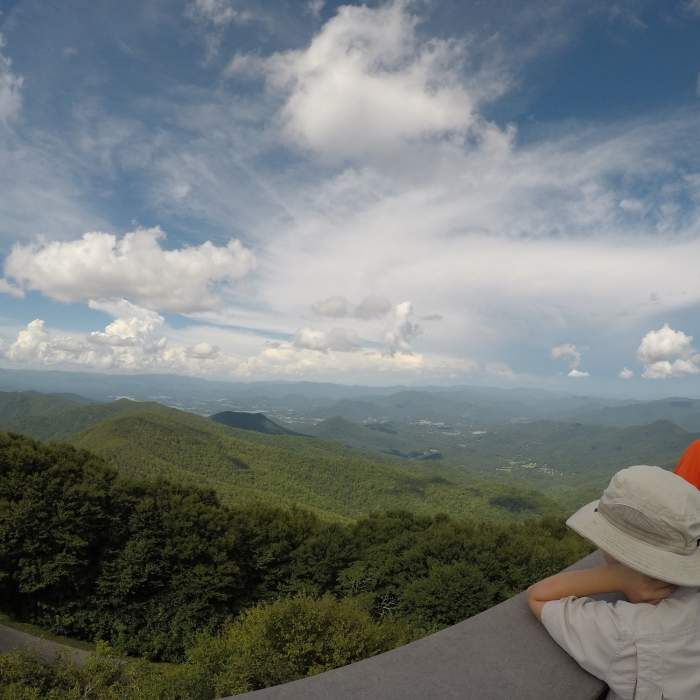
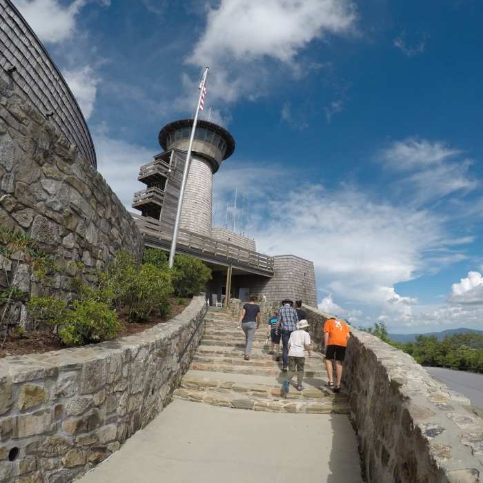
From the lot, cross to the visitor center and pick up the paved Summit Trail, passing a junction with the Wagon Train Trail (stay left) and crossing the Summit Shuttle Road. A final set of steps leads to the fire tower atop Brasstown Bald (4,784'), Georgia's highest point.
Return by retracing the same route to Jack's Gap.
No Condition Reports
Brasstown Bald
Brasstown Bald
Brasstown Bald via Appalachian Trail
Brasstown Bald via Appalachian Trail
Anna Ruby Falls
Anna Ruby Falls
Coosa Backcountry
Coosa Backcountry
Raven Cliffs Falls
Raven Cliffs Falls
Neels Gap - Lake Winfield Scott Traverse
Neels Gap - Lake Winfield Scott Traverse
Contributors

