Ready to explore this trail?
View Trail Map in AppPath Type
Point to Point
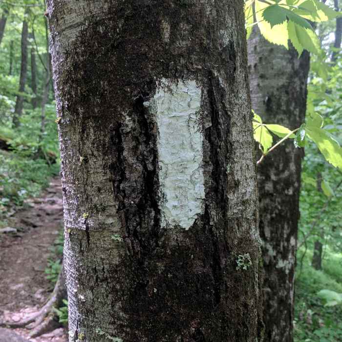
This strenuous 9.6-mile point-to-point hike climbs to the summit of Brasstown Bald, the highest peak in Georgia at 4,784 feet. Featuring approximately 3,900 feet of cumulative elevation gain, the route connects Unicoi Gap to the state highpoint using the Appalachian Trail, the Jack's Knob Trail, and the Brasstown Bald Trail.
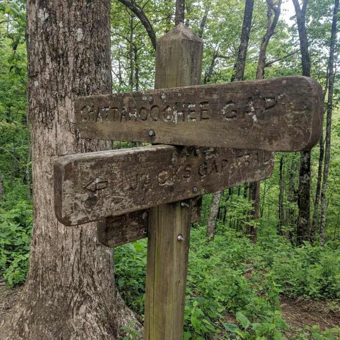
The hike begins at the Unicoi Gap trailhead on Georgia State Route 75, at an elevation of approximately 2,930 feet. It immediately ascends steeply to the summit of Blue Mountain, passing near the Blue Mountain Shelter. From there, the trail traverses rolling terrain along the ridge to Chattahoochee Gap. At Chattahoochee Gap, the route leaves the Appalachian Trail and follows the Jack's Knob Trail southward.
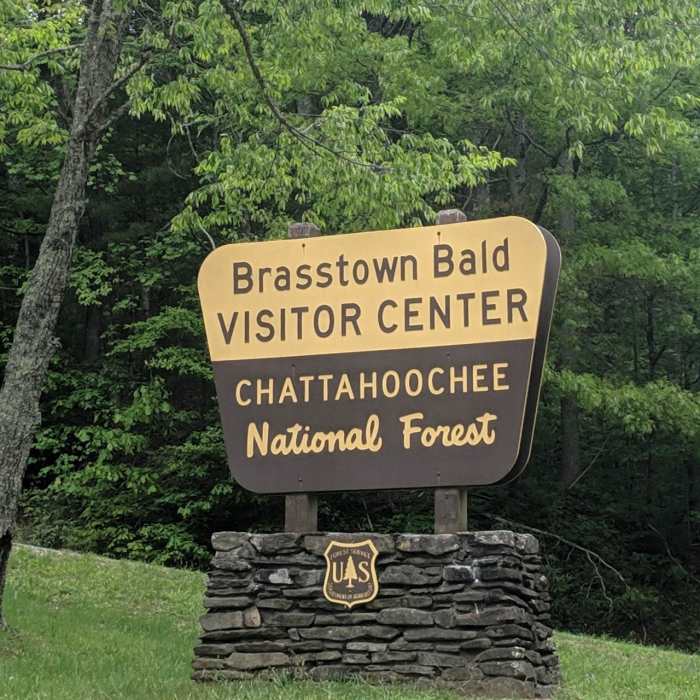
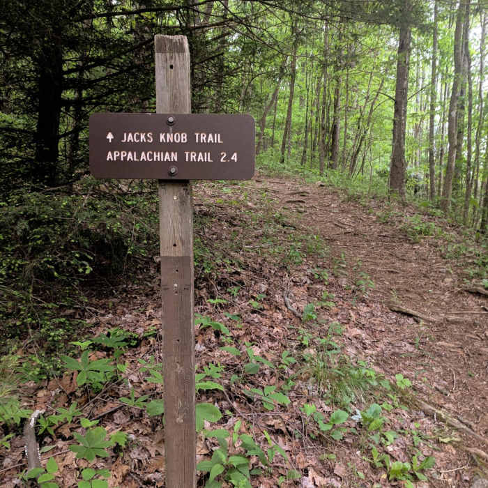
The Jack's Knob Trail descends to cross Georgia State Route 180, entering the Brasstown Bald Recreation Area. From the highway crossing, the trail begins a demanding 2-mile climb, ascending roughly 1,600 feet via switchbacks to reach the lower parking lot. The final leg of the hike follows the steep, paved 0.6-mile Brasstown Bald Trail up to the summit observation tower, which provides 360-degree views of the southern Appalachian Mountains.
No Condition Reports
Anna Ruby Falls
Anna Ruby Falls
Brasstown Bald via Jack's Gap
Brasstown Bald via Jack's Gap
Brasstown Bald
Brasstown Bald
Raven Cliffs Falls
Raven Cliffs Falls
Hemlock Falls
Hemlock Falls
Coosa Backcountry
Coosa Backcountry
Contributors

