Ready to explore this trail?
View Trail Map in AppRegional Classic
A must do route for the area handpicked by local experts.
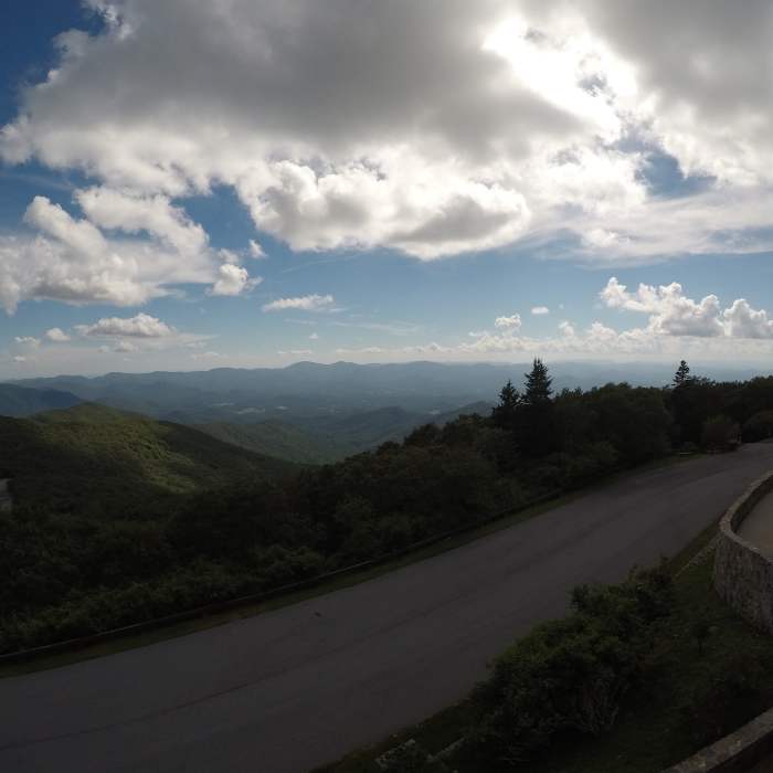
The summit access road is steep and winding; RVs and trailers are not recommended, and it can be treacherous in winter weather.
Path Type
There and Back
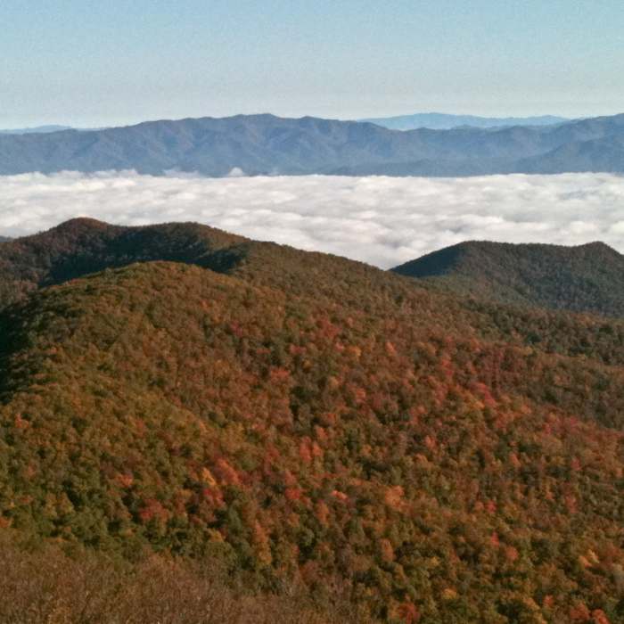
This route begins and ends at the Jacks Knob Trailhead, at the Brasstown Bald summit parking area (4,359'), and reaches the summit observation deck atop Brasstown Bald (4,784'), the highest point in Georgia.
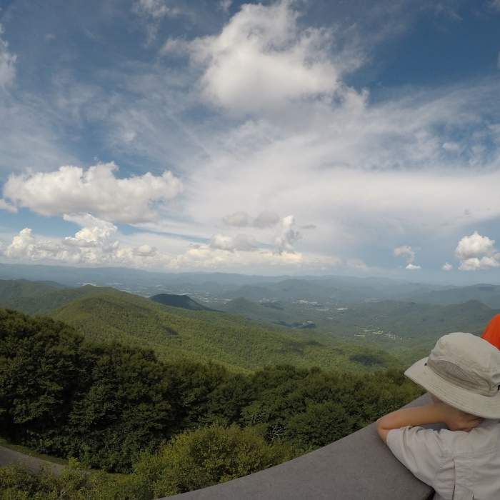
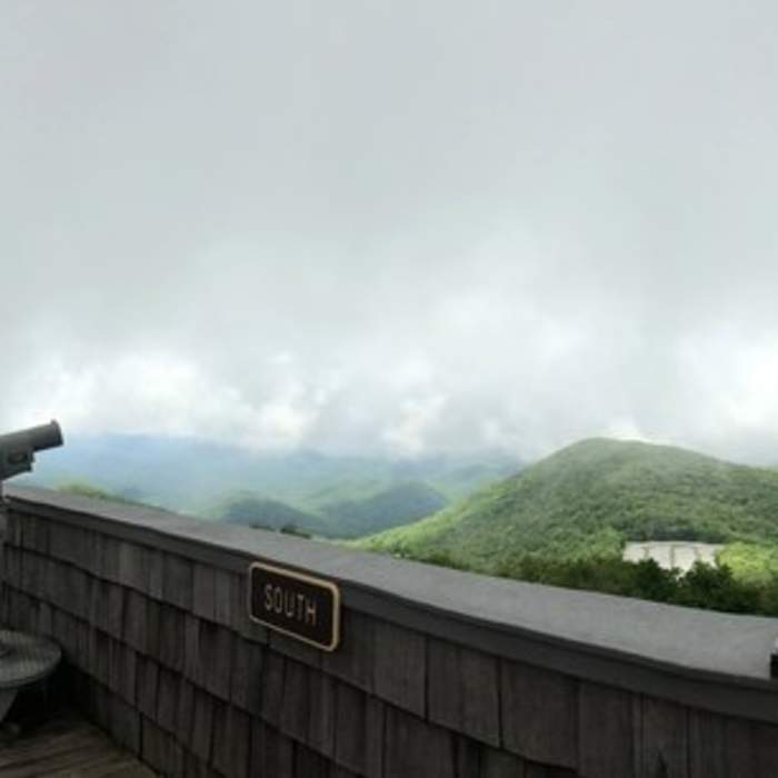
From the trailhead, climb the paved Brasstown Bald Trail, gaining about 410 vertical feet on a steep, winding but well-maintained path. The trail passes through a stunted forest of hardwoods, rhododendron, and mountain laurel unique to Georgia's highest elevations before a final set of stairs, or an elevator, reaches the observation deck, where plaques identify peaks, rivers, and towns visible across four states on a clear day. When the visitor center is open (10 a.m. to 5 p.m., April through November), a free shuttle can cover this stretch instead of walking.
Return the way you came. For a longer approach to the same summit, Jacks Knob Trail continues 4.5 miles down to the Appalachian Trail, and the Wagon Train Trail descends 6 miles to Young Harris — both begin at this same trailhead.
No Condition Reports
Brasstown Bald via Jack's Gap
Brasstown Bald via Jack's Gap
Brasstown Bald via Appalachian Trail
Brasstown Bald via Appalachian Trail
Anna Ruby Falls
Anna Ruby Falls
Coosa Backcountry
Coosa Backcountry
Raven Cliffs Falls
Raven Cliffs Falls
Neels Gap - Lake Winfield Scott Traverse
Neels Gap - Lake Winfield Scott Traverse
Contributors

