

Ready to explore this trail?
View Trail Map in AppRegional Classic
A must do route for the area handpicked by local experts.
No recreational fees or reservations are required to hike Wetterhorn Peak. A high-clearance, four-wheel-drive vehicle is strongly recommended to reach the upper trailhead. Standard passenger cars and low-clearance 2WD vehicles should park at the lower junction, which adds about 0.7 miles each way to the hike. During the winter and spring months, Henson Creek Road is not plowed to the trailhead.
Path Type
There and Back
This route begins and ends at the Matterhorn Creek trailhead (10,800') and reaches the summit of Wetterhorn Peak at 14,021'.
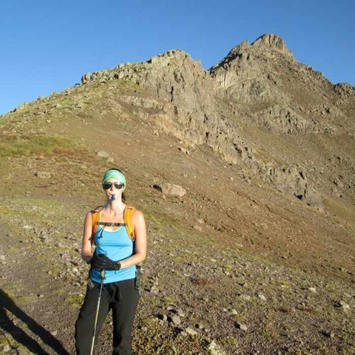
From the trailhead, follow the trail north 0.75 mile to a junction near 11,200'. Turn right and switchback up a hillside, exiting the trees at 11,600'. Turn left onto the Wetterhorn Peak Trail near 12,000' and continue north into rocky terrain east of the peak. Zigzag 0.5 mile through the rocks, then cut southwest to a saddle on Wetterhorn's southeast ridge at 13,100'.
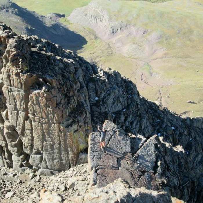
Turn right onto the ridge and climb yellow-colored dirt onto harder terrain. The trail turns faint here; route-finding is required through broken rock toward the Prow, a fin-like tower. A rock rib blocks easy passage; bypass it right, up a short gully, to the ridge crest. Near 13,800', pass right of the Prow to an open area below the summit block, then take the higher of two notches splitting it from the summit.
Crux: cross an angled slab to a final Class 3 scramble past mostly stable ledges with occasional loose rock and exposure leading to a catwalk just below the top at 14,021'.
Retrace the route to the trailhead. Snow can linger on the upper ridge into early summer; rockfall risk is considerable in both directions above 13,100'.
Translated from Swiss German, "Wetterhorn" means "weather peak." The name fits. Like its European namesake, this part of the state is prone to sudden weather changes, as discovered by all too many hikers.
No Condition Reports
Uncompahgre Peak From Matterhorn Creek
Uncompahgre Peak From Matterhorn Creek
Wetterhorn and Uncompahgre Peak
Wetterhorn and Uncompahgre Peak
Matterhorn Peak
Matterhorn Peak
Uncompahgre Peak South Ridge Route
Uncompahgre Peak South Ridge Route
Sunshine Peak via Redcloud Peak
Sunshine Peak via Redcloud Peak
Redcloud Peak + Sunshine Peak Loop
Redcloud Peak + Sunshine Peak Loop
Contributors

