


Ready to explore this trail?
View Trail Map in AppRegional Classic
A must do route for the area handpicked by local experts.
No permit or day-use fee is required. The final approach requires high-clearance 4WD; vehicles without it should park at the lower 2WD area, adding about 1.5 miles round trip.
Path Type
There and Back
The route begins at the Matterhorn Creek trailhead, at roughly 10,700 feet, and ends at the summit of Uncompahgre Peak, returning the same way for a round trip of about 14.5 miles.
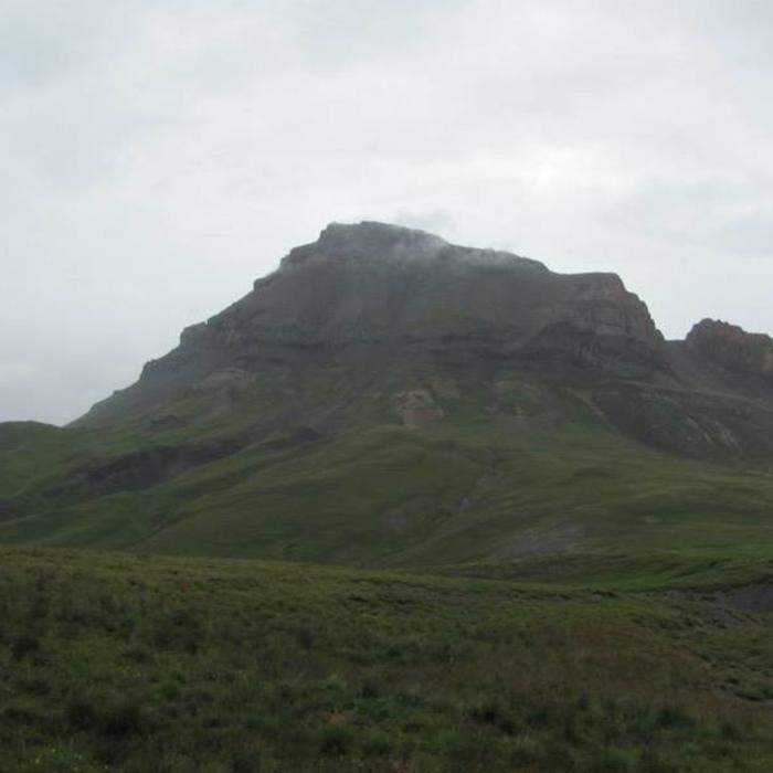
From the trailhead, follow the trail along Matterhorn Creek through forest into an open meadow. At a signed junction about 1 mile in, continue straight rather than turning right toward Wetterhorn Peak. The Uncompahgre route crosses a broad, grassy plateau toward a shallow pass; the tread grows faint here, and route-finding across open tundra is required to stay oriented toward the shallow rib beneath Uncompahgre's West Face.
Cross a small stream and begin climbing the broad, grassy West Face gully. Several tiers of low-angle rock bands force short Class 2 scrambling moves; grass growing between the ledges marks the more stable lines. Higher up, where grass gives way to loose rock and sand, favor the more solid rock along the gully's left side. Exit the gully at a notch on the ridgeline, then follow a well-defined trail across the broad, flat summit plateau to the high point.
Retrace the same route to descend. The loose sand and scree in the upper gully move fast underfoot, and the plateau crossing below has no defined tread, so it's easy to drift off-line in poor visibility.
No Condition Reports
Wetterhorn Peak Southeast Ridge
Wetterhorn Peak Southeast Ridge
Wetterhorn and Uncompahgre Peak
Wetterhorn and Uncompahgre Peak
Matterhorn Peak
Matterhorn Peak
Uncompahgre Peak South Ridge Route
Uncompahgre Peak South Ridge Route
Sunshine Peak via Redcloud Peak
Sunshine Peak via Redcloud Peak
Redcloud Peak
Redcloud Peak
Contributors

