Ready to explore this trail?
View Trail Map in AppPath Type
Loop
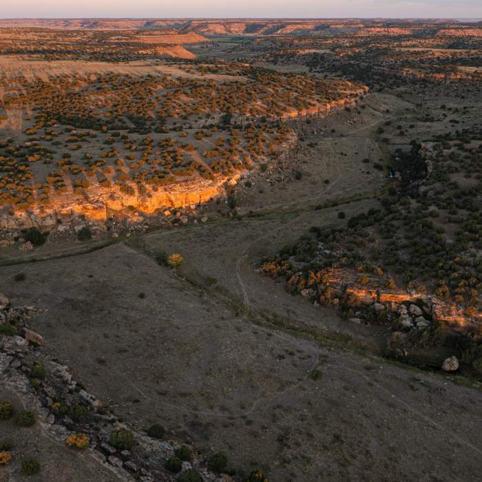
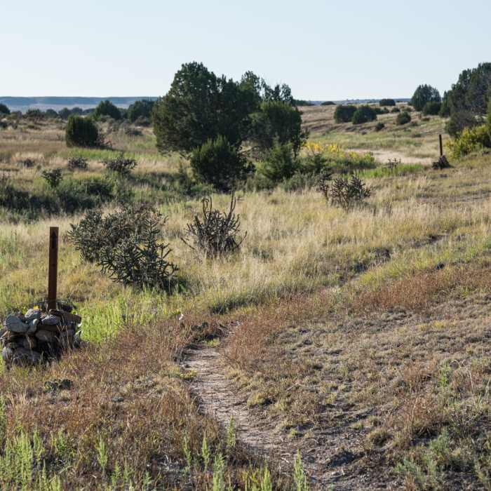
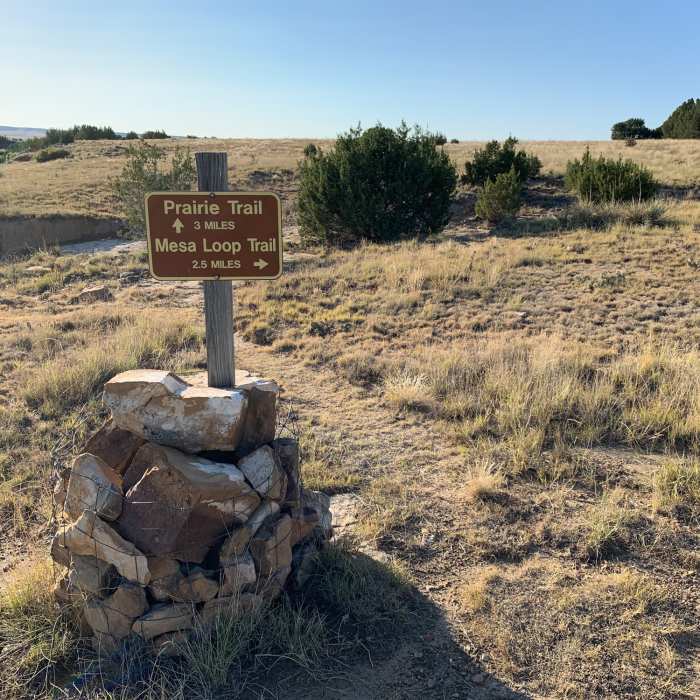
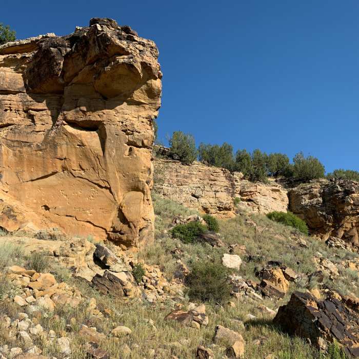
Park at the Vogel Canyon Picnic Area and hike down the sandstone rock drainage that is the Canyon Trail. When you reach a large rock outcropping, you are close to the junction with the Prairie Trail. Take a short stroll to a collection of petroglyphs before heading due west on the Prairie Trail. Pass interesting outcroppings and boulders of sandstone on your way to the ruins on a 19th center stagecoach line. Take a sharp righthand turn onto the Mesa Trail, heading northeast back towards the picnic area. At a 'T' junction, turn right on the Overlook Trail and continue to a scenic spot overlooking the shallow valley. It's about a mile back up the Overlook Trail to the picnic area.
Native Americans occupied the area 300-800 years ago, leaving petroglyphs on the sandstone outcrops. During the 1870's, a spur off the Santa Fe National Historic Trail (between Las Animas and Trinidad) was developed by the Barlow and Sanderson Mail and Stage Line. Sections of the stage coach road and ruins of the station can still be found.
No Condition Reports
Black Mesa Summit Trail
Black Mesa Summit Trail
Fishers Peak Parking Lot to Summit - Out and Back
Fishers Peak Parking Lot to Summit - Out and Back
East Spanish Peak Ascent
East Spanish Peak Ascent
Marion Mine
Marion Mine
West Spanish Peak Trail to Summit
West Spanish Peak Trail to Summit
Aiken Canyon Preserve
Aiken Canyon Preserve
Contributors

