Ready to explore this trail?
View Trail Map in AppRegional Classic
A must do route for the area handpicked by local experts.
No permits or parking fees are required. The preserve is open daily from dawn to dusk.
Path Type
There and Back
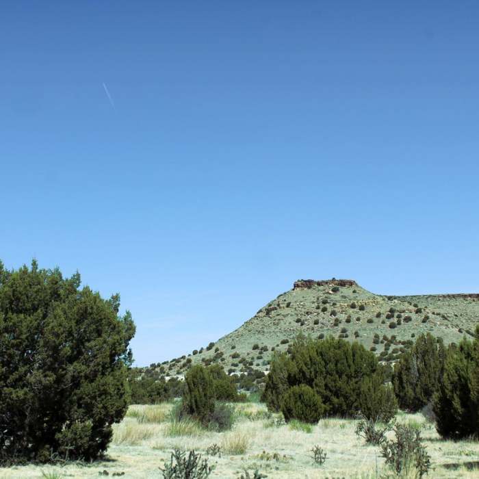
The route begins and ends at the Black Mesa Trailhead after reaching the summit of Black Mesa, the highest point in Oklahoma.
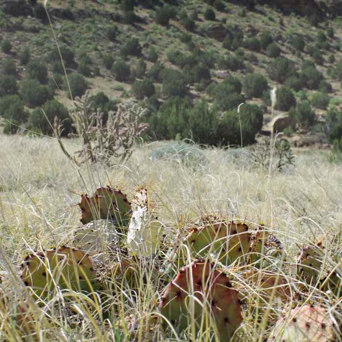
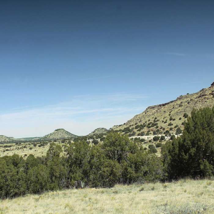
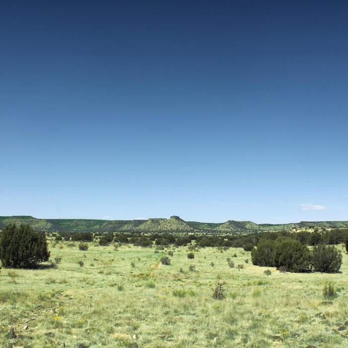
From the trailhead, head west on a flat gravel path through the shortgrass prairie. The trail passes through a pedestrian gate and trends southwest across the flat valley floor, surrounded by juniper, cholla cactus, and sagebrush. At 2.6 miles, the trail reaches the base of the mesa.
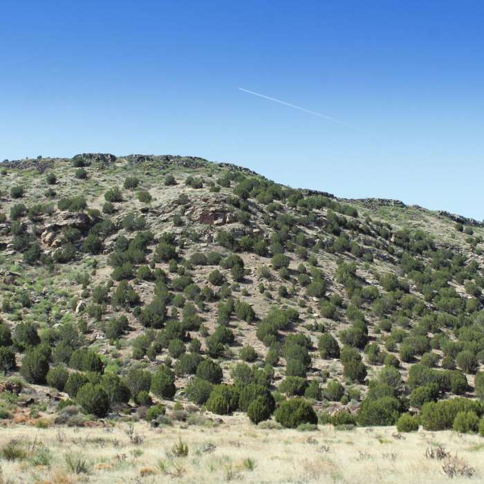
The trail begins a steep, rocky climb, ascending approximately 400 vertical feet over the next 0.6 miles. This section features loose basalt rock and several switchbacks. After reaching the top of the plateau at 3.2 miles, the trail levels out and continues south. Follow the flat trail across the top of the mesa, turning right to head southwest around 3.6 miles. Reach the black granite obelisk marking the summit at 4.2 miles.
Retrace your steps to return to the trailhead.
All Clear
Very fun hike that took us just a bit over 3 hr with a toddler in a child carrier along. There is only one Siri section where you go from the valley to the top of the Mesa. Just before the steep section there is a wooden box by a display station with water.
Looking for more condition reports?
Vogel Canyon Loop
Vogel Canyon Loop
Fishers Peak Parking Lot to Summit - Out and Back
Fishers Peak Parking Lot to Summit - Out and Back
Contributors

