


Ready to explore this trail?
View Trail Map in AppNo permits are required for day hiking on Mount Sneffels, though wilderness regulations apply in the Mount Sneffels Wilderness. Access into Yankee Boy Basin requires a high-clearance, four-wheel-drive vehicle beyond the lower parking area. The road is typically closed by seasonal snow from November through May.
Path Type
There and Back
This route begins and ends at the Mount Sneffels Trailhead after reaching the Mount Sneffels summit from the southwest ridge.
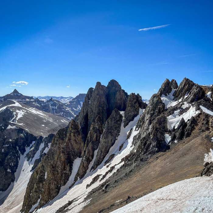
Hike northwest along the road and trail into Yankee Boy Basin. At 0.9 miles, pass the spur trail for Wright Lake on the left and continue to the right, climbing towards Blue Lakes Pass. At 2.1 miles, keep left at the fork with the South Slopes Mount Sneffels Trail. Reach the ridge at 2.5 miles and an elevation of 13,000'. Turn right and head north onto the Southwest Ridge.
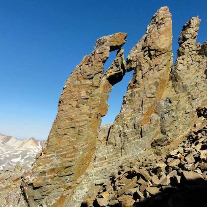
Follow the ridge crest on steep, loose talus and dirt, staying slightly to the left of the ridge top. The terrain quickly becomes rugged, requiring active route-finding. At 2.8 miles, scramble through the first notch to the right side of the ridge. Traverse across several steep ribs to reach the 'Kissing Camels' rock formation. Climb through the notch or window in the Kissing Camels. Scramble down a short, loose section into a steep gully, then climb this gully to another notch on the ridge. From this notch, climb the final block using Class 3 moves with significant exposure to reach the summit of Mount Sneffels at 3.0 miles.
Crux: The steep pitch on the north side of the large notch near 13,500', where the route climbs a short, narrow section of Class 3 rock to exit onto easier terrain above. This is the single hardest move on the route. Considerable exposure and rockfall risk are present throughout the ridge above Blue Lakes Pass — a helmet is strongly recommended from the pass onward.
To return, retrace your steps carefully down the Southwest Ridge, paying close attention to route-finding on the descent, then follow the main trail back to Yankee Boy Basin and the Mount Sneffels Trailhead.
No Condition Reports
Mount Sneffels Loop
Mount Sneffels Loop
Mount Sneffels South Slopes
Mount Sneffels South Slopes
Weehawken Trail #206 to Alpine Mine and Overlook
Weehawken Trail #206 to Alpine Mine and Overlook
Blaine Basin
Blaine Basin
Mt Sneffels Via Blue Lakes
Mt Sneffels Via Blue Lakes
Upper Blue Lakes
Upper Blue Lakes
Contributors

