
Ready to explore this trail?
View Trail Map in AppRegional Classic
A must do route for the area handpicked by local experts.
No permits are required. Yankee Boy Basin Road is typically impassable due to snow from November through late May, and the upper section requires a high-clearance 4WD vehicle.
Path Type
There and Back
This route begins and ends at the Mount Sneffels Trailhead after reaching the Mount Sneffels Summit from the south slopes.
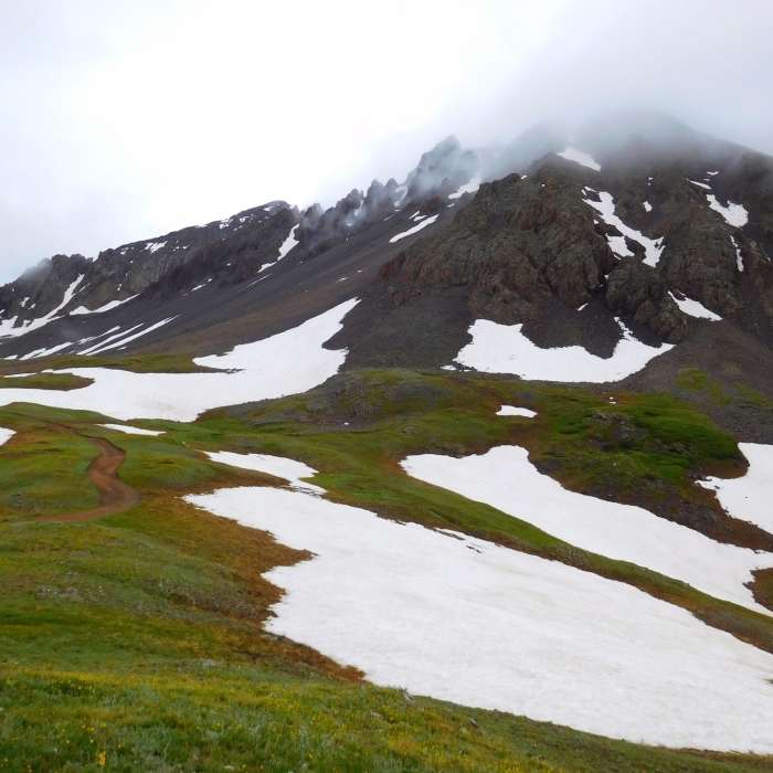
Hike northwest along the road and trail into Yankee Boy Basin. At 0.9 miles, pass the spur trail for Wright Lake on the left and continue to the right, climbing towards Blue Lakes Pass. At 2.1 miles, keep right at the fork with the Blue Lakes Trail, and continue on the Mount Sneffels Trail.
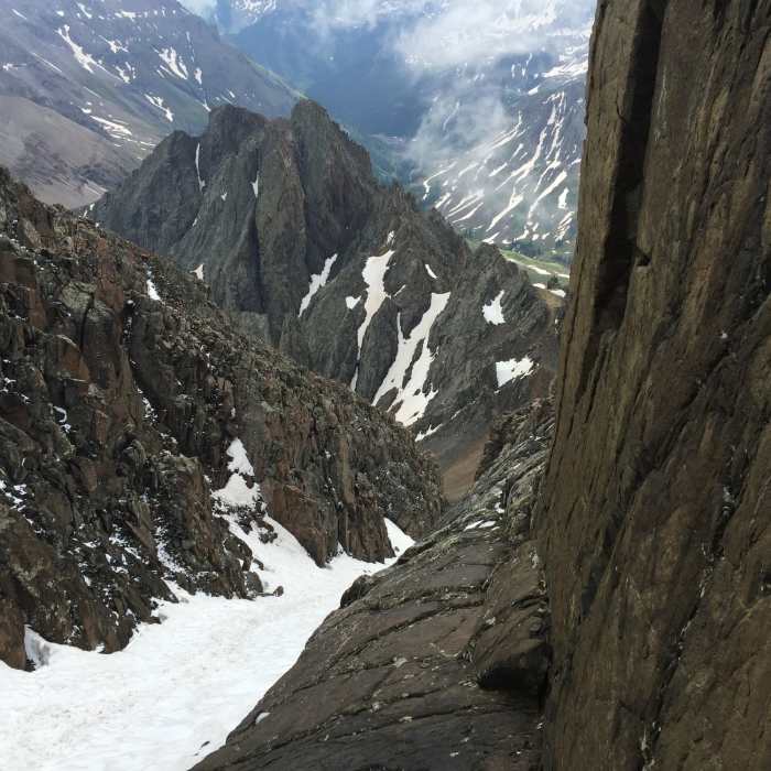
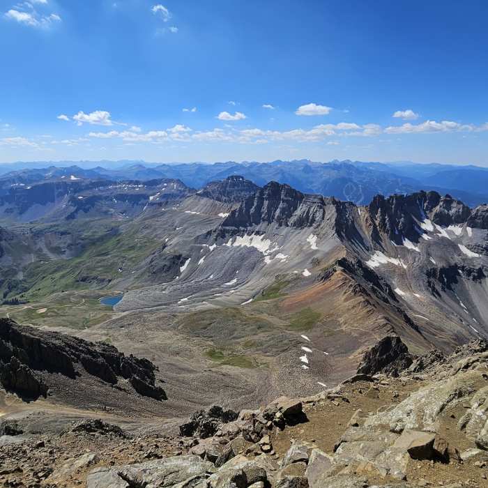
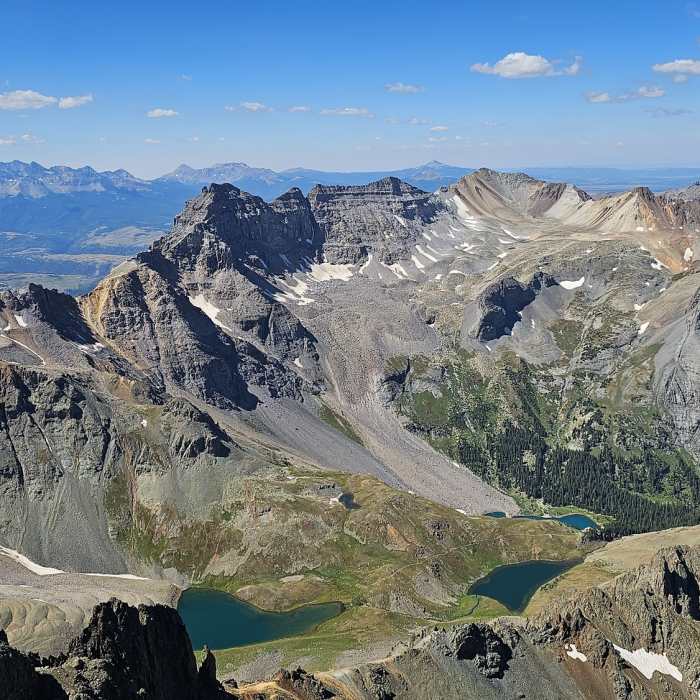
Ascend northeast up a steep, loose scree field into the mountain's main south couloir. Climb the loose talus up the couloir to the notch at 14,100 feet. Turn left and climb through the V-notch, a Class 3 scramble with high exposure. Scramble over solid rock along the ridge to the summit at 14,158'.
Crux: The "V" notch near 14,050', where an Easy Class 3 scramble through a narrow slot provides the only clean line to the summit plateau. Rocks removed in 2016 made the entry move harder than it once was. Exposure to the left. The gully below carries Considerable rockfall risk — space out from other climbers and move deliberately.
Retrace your steps for the descent, using caution on the loose rock in the couloir.
No Condition Reports
Mount Sneffels Loop
Mount Sneffels Loop
Mount Sneffels Southwest Ridge
Mount Sneffels Southwest Ridge
Weehawken Trail #206 to Alpine Mine and Overlook
Weehawken Trail #206 to Alpine Mine and Overlook
Blaine Basin
Blaine Basin
Mt Sneffels Via Blue Lakes
Mt Sneffels Via Blue Lakes
Upper Blue Lakes
Upper Blue Lakes
Contributors

