


Ready to explore this trail?
View Trail Map in AppRegional Classic
A must do route for the area handpicked by local experts.
County Road 322 is extremely narrow and rough. I made it in my Subaru, but it was very sketchy, and I wouldn't do it again. This road is closed in the winter, and conditions are variable year-round.
Path Type
There and Back
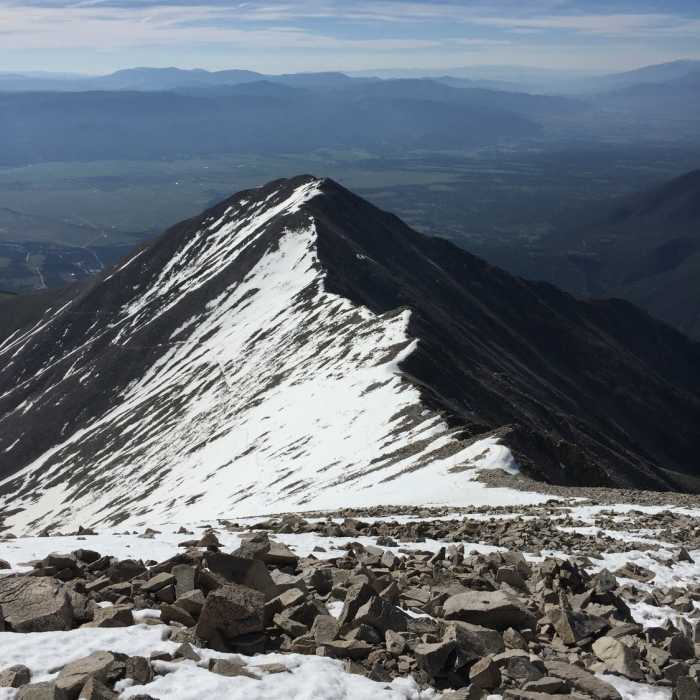
The Mount Princeton Trail offers a direct and rugged ascent up the eastern slopes of Mount Princeton, a prominent 14,197-foot peak in the Sawatch Range. Starting from Chaffee County Road 322 at an elevation of approximately 11,820 feet, the trail begins with a steep climb before transitioning to Class 2 hiking as it traverses below the ridge connecting Mount Princeton and Tigger Peak. The path crosses challenging talus fields before climbing switchbacks to reach the main ridge at 13,100 feet.
From the ridge, the route continues toward the summit, crossing exposed terrain and several flat sections interspersed with rock features. At 13,500 feet, the grade steepens again, requiring careful footwork over loose rock and talus. The final stretch follows a Class 2 path to the summit, rewarding hikers with expansive views of the Collegiate Peaks and the Arkansas River Valley.
All Clear
Looking for more condition reports?
Colorado Trail: Segment 14
Colorado Trail: Segment 14
Mount Princeton
Mount Princeton
Agnes Vaille Falls
Agnes Vaille Falls
Mount Antero West Slopes
Mount Antero West Slopes
Browns Creek Falls
Browns Creek Falls
Browns Lake
Browns Lake
Contributors

