Ready to explore this trail?
View Trail Map in AppRegional Classic
A must do route for the area handpicked by local experts.
No permit is required. Missouri Gulch Trailhead parking fills early on summer weekends, given its popularity for this combination of 14ers and the adjacent Missouri Mountain route. This hike enters a Wilderness area, and wilderness regulations apply.
Path Type
There and Back
The route begins and ends at Missouri Gulch Trailhead (9,680'), reaching the summits of Mount Belford (14,202') and Mount Oxford (14,153').
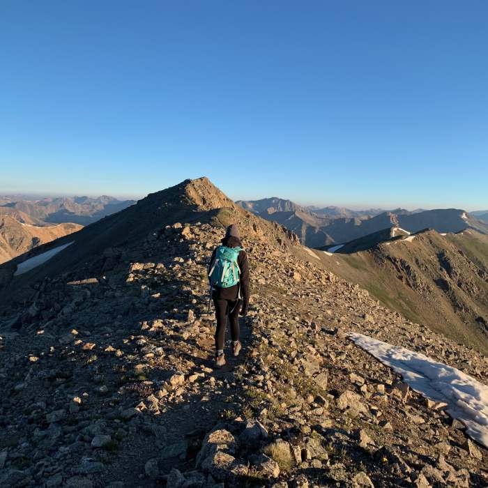
From the trailhead, follow the Missouri Gulch Trail through forest and switchbacks to about 11,600 feet, where the Mount Belford Trail branches left off the Elkhead Pass Trail. Follow it southeast up Belford's northwest ridge, climbing 2,300 vertical feet on well-maintained switchbacks to the summit of Mount Belford, at 4.5 miles.
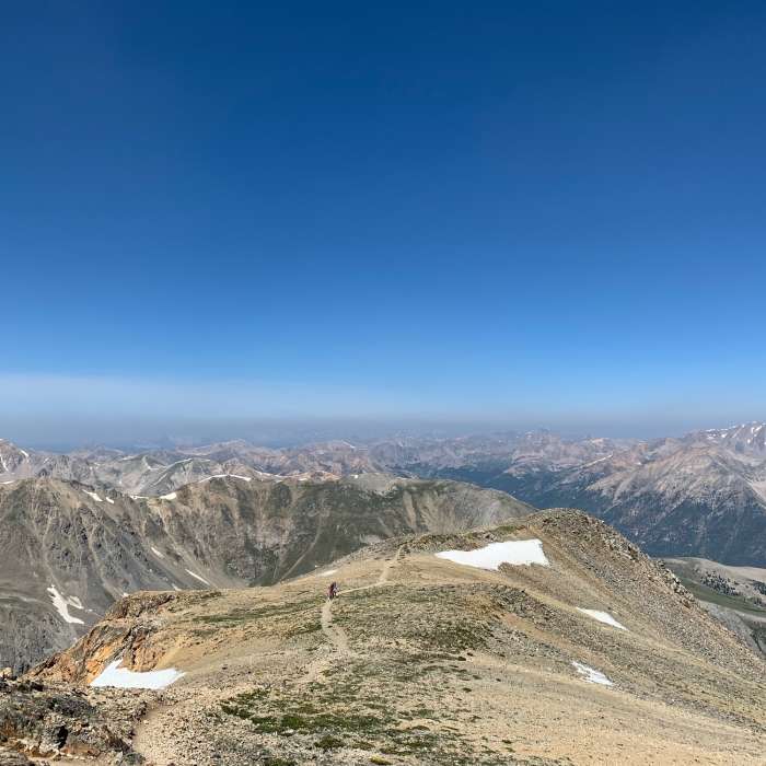
From Belford's summit, descend southeast on the trail; about 0.25 miles out, while still above 14,000 feet, turn left onto Belford's east ridge rather than continuing toward Elkhead Pass. Descend the ridge, weaving through rock, to the Belford-Oxford saddle at 13,500 feet. Cross the saddle and climb Oxford's gentle southwest ridge; as you near 14,000 feet, the summit comes back into view. Continue up a final pitch and across rocky terrain to the summit of Mount Oxford.
There is no shortcut back to the trailhead: return by climbing back over Mount Belford and descending its northwest ridge the same way you came up.
Mt. Belford is named for Judge James B. Belford, the "Red-headed Rooster of the Rockies". Mt. Oxford is named after Oxford University, keeping with the prestigious college naming tradition of the "Collegiate Peaks".
No Condition Reports
Missouri Mountain Northwest Ridge
Missouri Mountain Northwest Ridge
Mount Belford Northwest Ridge
Mount Belford Northwest Ridge
The MOB Mission: Missouri-Oxford-Belford
The MOB Mission: Missouri-Oxford-Belford
Mount Belford Southwest Slopes
Mount Belford Southwest Slopes
CDT: Sheep Gulch to Halfmoon Creek (CO Sec. 23)
CDT: Sheep Gulch to Halfmoon Creek (CO Sec. 23)
Continental Divide Trail: Colorado Section 22
Continental Divide Trail: Colorado Section 22
Contributors

