Ready to explore this trail?
View Trail Map in AppRegional Classic
A must do route for the area handpicked by local experts.
No permit is required, but the route enters the Collegiate Peaks Wilderness: dogs must stay leashed, and group-size and campfire rules apply.
Path Type
There and Back
The route begins and ends at the Missouri Gulch trailhead, at 9,650 feet, and reaches the summit of Mount Belford for a round trip of about 11 miles.
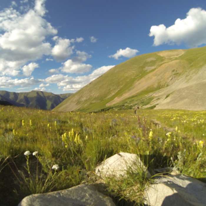
From the trailhead, follow the Missouri Gulch Trail across a bridge over Clear Creek and into forest. After 0.25 miles, climb switchbacks, leaving them near 10,400 feet to continue south along Missouri Gulch creek. At 10,800 feet, turn left and cross the creek on a log bridge, then turn right through an avalanche clearing to the remnants of an old shack near 11,200 feet.
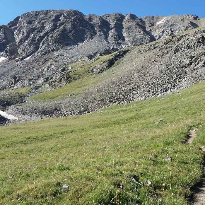
Exit the forest and continue south into Missouri Gulch. At 11,600 feet, stay right at the Mount Belford Trail junction, since the left fork is the standard Northwest Ridge route, and continue south 1.5 miles to the Missouri Mountain Trail junction near 12,600 feet. Stay left and continue 0.75 miles to Elkhead Pass. From the pass, Belford's summit is still over a mile away.
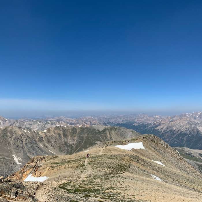
Crux: Turn left onto a less-used trail heading east; this stretch is the route's only real crux, since the tread thins and is harder to follow than the trail below. Follow it about 0.3 miles before it swings north toward the ridge south of Belford's summit. At 14,100 feet, reach the ridge crest and intersect the standard trail between Belford and Oxford; turn left and walk to the summit.
Return the same way; the faint trail near Elkhead Pass is just as easy to lose heading downhill.
No Condition Reports
Missouri Mountain Northwest Ridge
Missouri Mountain Northwest Ridge
Mount Oxford via Mount Belford
Mount Oxford via Mount Belford
Mount Belford Northwest Ridge
Mount Belford Northwest Ridge
The MOB Mission: Missouri-Oxford-Belford
The MOB Mission: Missouri-Oxford-Belford
CDT: Sheep Gulch to Halfmoon Creek (CO Sec. 23)
CDT: Sheep Gulch to Halfmoon Creek (CO Sec. 23)
Continental Divide Trail: Colorado Section 22
Continental Divide Trail: Colorado Section 22
Contributors

