Ready to explore this trail?
View Trail Map in AppRegional Classic
A must do route for the area handpicked by local experts.
No permit or fee is required, but the route lies within the Collegiate Peaks Wilderness, where dogs must be leashed and group-size and campfire rules apply. The lot is popular and can fill early on summer weekends given access to three connecting fourteeners.
Path Type
There and Back
The route begins and ends at the Missouri Gulch trailhead, at 9,650 feet, and reaches the summit of Mount Belford for a round trip of about 8 miles.
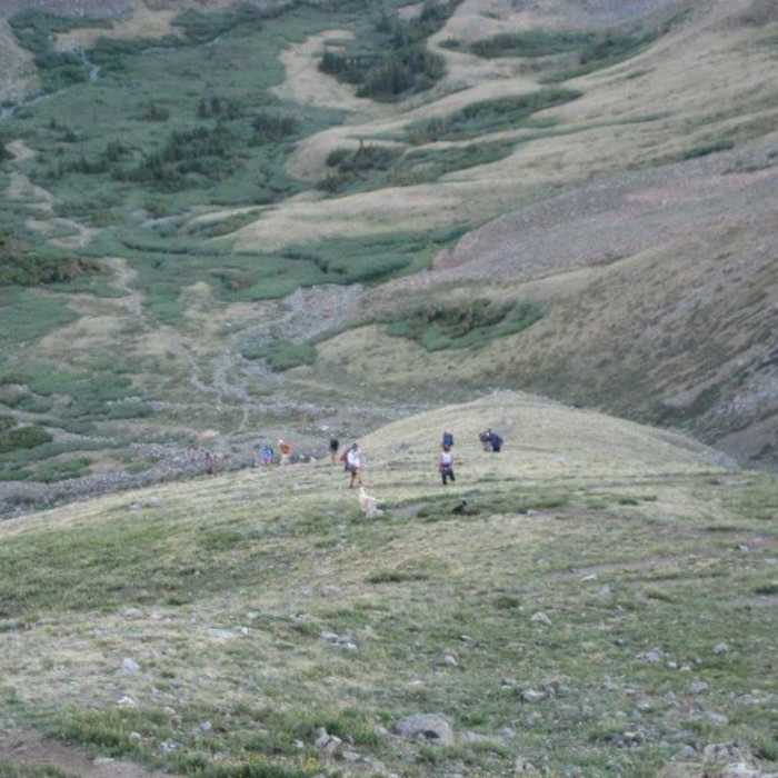
From the trailhead, follow the Missouri Gulch Trail across a bridge over Clear Creek and into forest. After 0.25 miles, climb a series of steep switchbacks; above them, near 10,400 feet, continue south along Missouri Gulch. At 10,800 feet, turn left and cross the gulch stream on a log bridge, then turn right and hike south through an open area before re-entering trees to pass the remnants of an old shack. Exit the forest near 11,300 feet and continue south in the gulch toward Belford. At 11,600 feet, reach a junction: the Elkhead Pass (Missouri Gulch) Trail continues right, while the Mount Belford Trail turns left. Turn left and head southeast toward Belford's northwest ridge, crossing a small stream near its base.
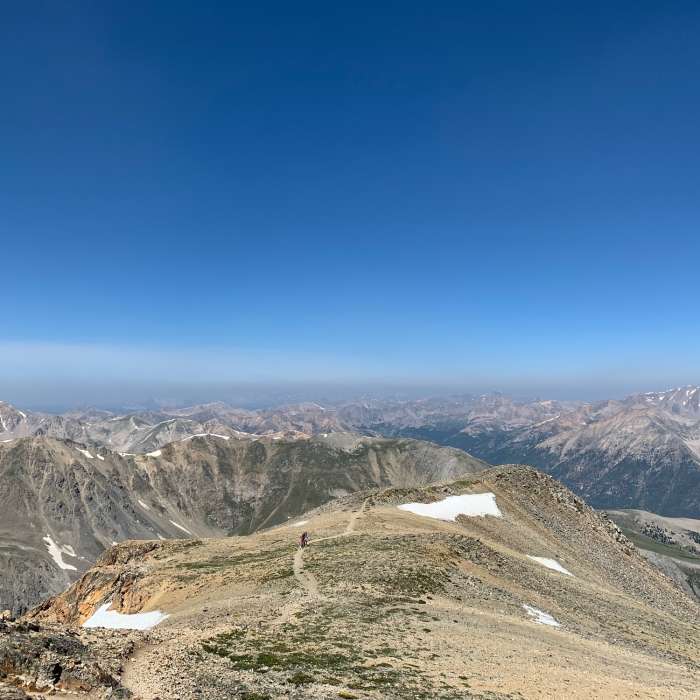
The ridge climbs 2,300 vertical feet on a well-maintained, switchbacked trail. Past an initial rocky section, grind steadily up the switchbacks to about 13,800 feet, where the trail shifts right toward a prominent point, then to a flat spot at 13,900 feet. Turn left and continue east; the terrain eases near 14,100 feet on the approach to the summit block.
Return via the same route.
No Condition Reports
Missouri Mountain Northwest Ridge
Missouri Mountain Northwest Ridge
Mount Oxford via Mount Belford
Mount Oxford via Mount Belford
The MOB Mission: Missouri-Oxford-Belford
The MOB Mission: Missouri-Oxford-Belford
Mount Belford Southwest Slopes
Mount Belford Southwest Slopes
CDT: Sheep Gulch to Halfmoon Creek (CO Sec. 23)
CDT: Sheep Gulch to Halfmoon Creek (CO Sec. 23)
Continental Divide Trail: Colorado Section 22
Continental Divide Trail: Colorado Section 22
Contributors

