


Ready to explore this trail?
View Trail Map in AppRegional Classic
A must do route for the area handpicked by local experts.
Access the Half Moon Trailhead via Tigiwon Road (Forest Service Road 707), an 8-mile dirt road seasonally closed to motorized vehicles from November 23 through June 20. High-clearance vehicles are recommended. Free self-registration is required at the trailhead for entry into the Holy Cross Wilderness. Dogs must be on a leash. Group sizes are limited to 15 people.
Path Type
Loop
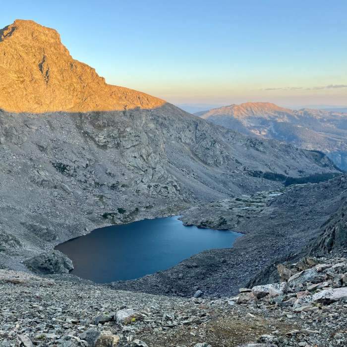
The Mount of the Holy Cross Loop is a demanding 13-mile high-alpine hike in Colorado's Sawatch Range. Starting from the Half Moon Trailhead at 10,320 feet, this challenging route climbs nearly 5,500 feet of elevation to summit the 14,005-foot peak. It combines the rugged, off-trail Halo Ridge with the standard North Ridge route, requiring Class 2 scrambling and route-finding.
Hiking clockwise is recommended. The route begins on the Fall Creek Trail, branches onto the Notch Mountain Trail, and ascends to the historic stone Notch Mountain Shelter at 13,077 feet, which overlooks the peak's famous cross couloir. From the shelter, the path follows the exposed, unmarked Halo Ridge southwest, navigating rocky terrain and high points to reach the summit.
The descent follows the standard North Ridge route. To complete the loop, hikers must tackle a final, demanding 1,000-foot climb over 1.2 miles to cross Half Moon Pass before returning to the trailhead.
No Condition Reports
Notch Mountain
Notch Mountain
Mount of the Holy Cross - Halo Ridge
Mount of the Holy Cross - Halo Ridge
Mount of the Holy Cross
Mount of the Holy Cross
Cross Creek
Cross Creek
Grouse Mountain Loop
Grouse Mountain Loop
Meadow Mountain Loop
Meadow Mountain Loop
Contributors

