



Ready to explore this trail?
View Trail Map in AppRegional Classic
A must do route for the area handpicked by local experts.
A free, self-issued wilderness permit is required at the trailhead.
Forest Service Road 707 (Tigiwon Road) is closed seasonally to vehicles from November 22nd through June 21st.
Path Type
There and Back
This route begins and ends at the Half Moon Pass Trailhead after reaching the summit of Mount of the Holy Cross.
Start on Mount of the Holy Cross Trail, hiking south through the forest. Climb steadily for 1.5 miles to reach the crest of Half Moon Pass. From the pass, descend south to cross over East Cross Creek at 2.9 miles. After crossing the creek, begin a steep, sustained ascent.
Crux: The Half Moon Pass descent is the defining feature that makes Holy Cross one of the most demanding Sawatch 14ers — after gaining 1,200' to the pass, the route drops nearly all of it before the real climb begins. That lost elevation must be fully regained on the return. The steepest section of the ascent is the rocky switchback stretch above East Cross Creek, where the grade becomes sustained and draining through the upper forest and into the open rocky terrain above treeline.
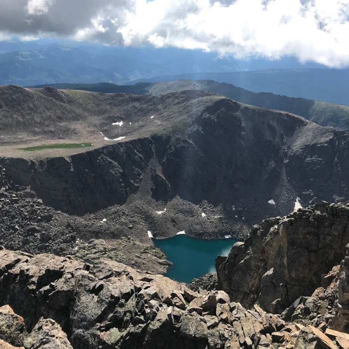
At 4.0 miles, around an elevation of 12,000', the trail emerges above the treeline into rugged, alpine terrain. Follow the well-constructed rock steps and large cairns up the steep north ridge. At approximately 5.2 miles the trail will intersect with the Halo Ridge Trail. Keep straight and scramble up the final 400 vertical feet of Class 2 boulder fields to reach the summit at 14,009 feet.
Retrace your steps back to the trailhead, noting that the final climb back over Half Moon Pass presents a physical crux at the end of the day.
No Condition Reports
Notch Mountain
Notch Mountain
Mount of the Holy Cross Loop
Mount of the Holy Cross Loop
Mount of the Holy Cross - Halo Ridge
Mount of the Holy Cross - Halo Ridge
Cross Creek
Cross Creek
Grouse Mountain Loop
Grouse Mountain Loop
Meadow Mountain Loop
Meadow Mountain Loop
Contributors

