

Ready to explore this trail?
View Trail Map in AppRegional Classic
A must do route for the area handpicked by local experts.
Tigiwon Road (FSR 707) is closed to vehicles from November 22 through June 21, but hiking and biking the road is allowed.
Free self-registration wilderness permits are required at the trailhead for overnight camping. Registration is not required for day-use. Wilderness regulations apply within the Holy Cross Wilderness.
Path Type
There and Back
The route begins and ends at the Half Moon Trailhead after reaching the Mount of the Holy Cross Summit from Halo Ridge.
From the trailhead, begin south on the Fall Creek Trail. Follow this trail for 2.3 miles until reaching the signed junction for the Notch Mountain Trail. Turn right and begin climbing towards Notch Mountain. At 2.6 miles, exit the trees into a meadow near 11,600'. The stream running through the meadow serves as the last source of water on the ascent. At 3.8 miles, begin switchbacking 600 vertical feet through a steep talus slope.
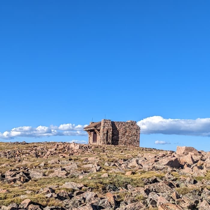
Reach the Notch Mountain Shelter at 4.9 miles and 13,077'. Beyond the shelter, begin the off-trail class 2 scramble along Halo Ridge, heading south-southwest. This section requires continuous route-finding over loose talus and boulder fields. Navigate the ridge crest, following the curve northwest to Holy Cross Ridge at 6.9 miles.
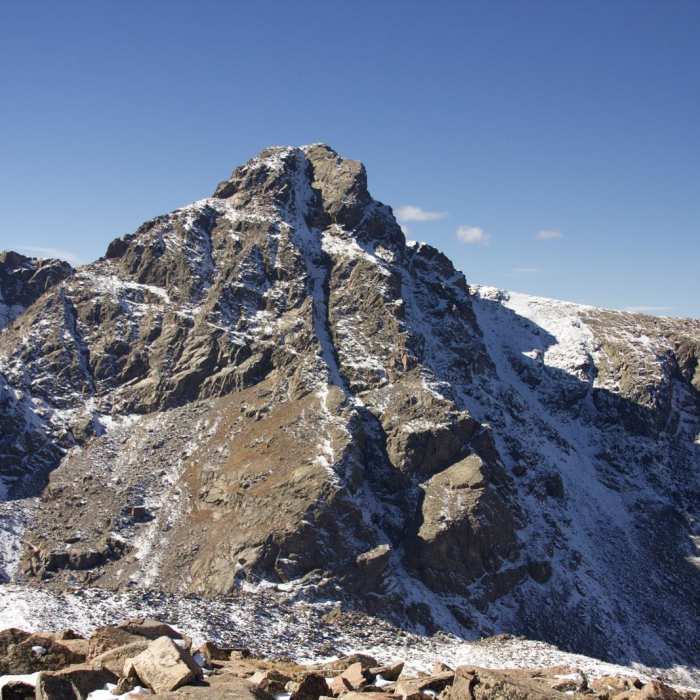
Crux: The steep block scramble ascending from Halo Ridge to Holy Cross Ridge is the most technical aspect. Rock is mostly stable with occasional loose blocks; climb close to and left of the ridge crest. Considerable exposure and rockfall are present throughout the ridge, with cliff bands and loose rock below and no safe escape routes between the Notch Mountain Shelter and the Bowl of Tears.
From here, drop slightly before making the final climb northeast. At 7.6 miles, turn right onto Mount of the Holy Cross Trail. Continue climbing to reach the 14,009' summit of Mount of the Holy Cross at 7.7 miles.
Carefully retrace your steps back to the trailhead.
No Condition Reports
Notch Mountain
Notch Mountain
Mount of the Holy Cross Loop
Mount of the Holy Cross Loop
Mount of the Holy Cross
Mount of the Holy Cross
Cross Creek
Cross Creek
Grouse Mountain Loop
Grouse Mountain Loop
Meadow Mountain Loop
Meadow Mountain Loop
Contributors

