
Ready to explore this trail?
View Trail Map in AppRegional Classic
A must do route for the area handpicked by local experts.
No permit is required. Camping is prohibited along the Willow Lake shoreline; use designated sites in the zone just below it.
Path Type
There and Back
The route begins and ends at the Willow Creek trailhead (8,850') and reaches the 14,167' summit of Kit Carson Peak, via the 14,086' summit of Challenger Point.
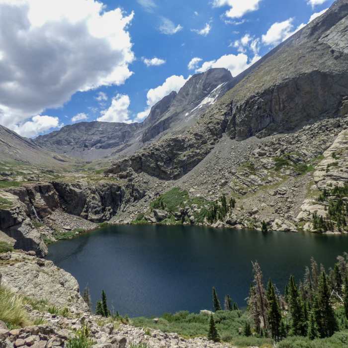
From the trailhead, follow the Willow Creek Trail east about 4.5 miles to Willow Lake, passing a small waterfall and boulder field before reaching the larger falls at the lake's east end. Cross the stream above the falls, follow cairns across the basin above the lake, and turn right at the junction toward Challenger and Kit Carson.
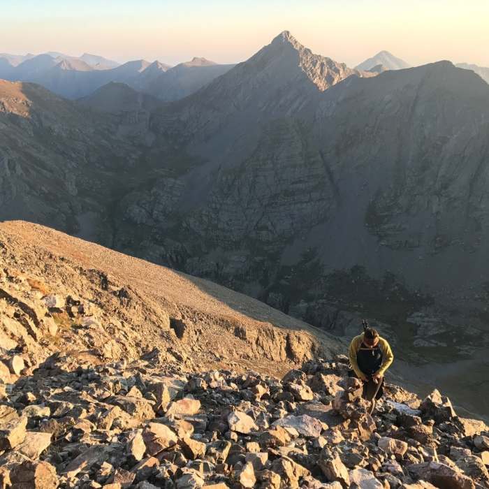
The trail zigzags through ledges and a boulder field, swings left onto easier ground near 12,300', follows a rock rib's left side as the tread thins, then veers left off the rib near 13,200' onto steeper terrain.
Crux: The Challenger Point crux is 600 feet of steep, loose, talus-covered slabs with no clear line — route-find with cairns to keep the climbing under Class 3, staying right of a gully that often holds snow into August, to a notch in the ridge.
Turn left through the notch onto the summit ridge and follow it southeast to Challenger Point, staying left of the crest where it narrows.
From Challenger, descend east to the 13,800' saddle with Kit Carson and climb onto Kit Carson Avenue, a Class 2 ledge running south to a 13,960' saddle by The Prow, then east through a wide notch. Near 13,650', turn left off the Avenue into a broad gully — note this spot for the return.
Crux: The final crux is the last 450 feet: climb the gully's center on difficult Class 2 terrain, with brief Class 3 moves higher up, then angle left near the ridge past the last outcroppings to the summit.
The return retraces the Avenue, requiring a climb back over Challenger Point before descending to Willow Lake and the trailhead.
Challenger Point was dubbed as such in 1987, in honor of the seven astronauts who perished in the infamous space shuttle accident.Kit Carson's namesake is more controversial: Kit Carson was a US Civil War General and pioneer known for his extreme cruelty toward a number of American Indian tribes.
No Condition Reports
South Crestone Lake
South Crestone Lake
North Crestone Lake
North Crestone Lake
Dry Creek Lakes
Dry Creek Lakes
Venable to Comanche Loop
Venable to Comanche Loop
Rito Alto Four Pass Loop
Rito Alto Four Pass Loop
Humboldt Peak West Ridge
Humboldt Peak West Ridge
Contributors

