Ready to explore this trail?
View Trail Map in AppRegional Classic
A must do route for the area handpicked by local experts.
No permit is required, but the route enters the Collegiate Peaks Wilderness: dogs must stay leashed, and group-size and campfire rules apply.
Path Type
There and Back
The route begins and ends just past the South Winfield trailhead, at 10,300 feet, and reaches the summit of Huron Peak.
From the trailhead, walk the road 0.3 miles to a junction and turn left onto Lulu Gulch Road, leaving the standard Huron route, which continues straight. Follow Lulu Gulch Road 1.4 miles as it switchbacks up the valley to a junction at 11,400 feet; turn left again, since the road straight ahead dead-ends at an old mine below Browns Peak.
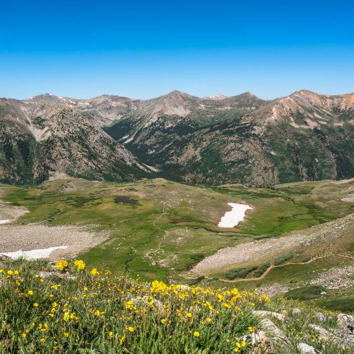
Continue on Lulu Gulch Road as it curls around Browns Peak's north ridge, reaching treeline at 11,600 feet — in winter, the open slope just beyond treeline is avalanche-prone. The deteriorating road crosses Lulu Gulch and climbs to a large switchback at 12,000 feet, the first of several climbing Middle Mountain.
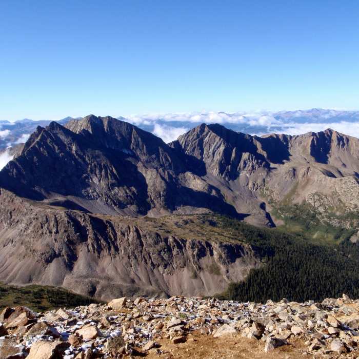
Leave the road here and climb the switchbacks 700 vertical feet to Point 12,622, where the road ends at another old mine. Follow the ridge crest southeast, a short rocky stretch giving way to tundra, over Middle Mountain and along a use trail to Point 13,462, where the ridge turns rocky again. Traverse easy ridge to Browns Peak, then continue on or just below the crest across talus to intersect Huron's standard route trail near 13,500 feet. Follow it the final 500 vertical feet to the summit.
Return the same way, or descend the standard route trail and walk the connecting road back for a longer loop variant.
No Condition Reports
Huron Peak via South Winfield Trailhead
Huron Peak via South Winfield Trailhead
Lake Ann Out-and-Back
Lake Ann Out-and-Back
La Plata Peak Southwest Ridge
La Plata Peak Southwest Ridge
Huron Peak Northwest Slopes
Huron Peak Northwest Slopes
Huron Peak Southwest Slopes
Huron Peak Southwest Slopes
Missouri Mountain West Ridge
Missouri Mountain West Ridge
Contributors

