Ready to explore this trail?
View Trail Map in AppRegional Classic
A must do route for the area handpicked by local experts.
No permit is required, but the route enters the Collegiate Peaks Wilderness: dogs must stay leashed. The access road fords Clear Creek and Lake Fork, often requiring wading.
Path Type
There and Back
The route begins and ends at the Clohesy Lake road turnout. Capable 4WD vehicles can drive to the upper lot about 0.45 miles below the Clohesy Lake, but the road is rough and cross two streams on it's way. Most hikers park at the Clear Creek Road junction and begin from there.
From parking, follow the road to Clear Creek, fording it and the Lake Fork; both run high during snowmelt, best crossed after July. Climb out of the second crossing, then continue about 2.5 miles to a locked gate below Clohesy Lake, at 10,880 feet, where the road-walking ends and the trail begins.
From the trailhead, follow the road at a gentle grade past two old rockslide scars near 1.6 and 2.5 miles. Just before Clohesy Lake, watch for a small rock cairn on the left and turn left to skirt the lake's east side. Climbing above the eastern bank, turn left onto an unmarked, steep gravel trail; continuing straight leads instead to a hike over a 12,500-foot pass. This turn is the main crux, since it's easy to miss.
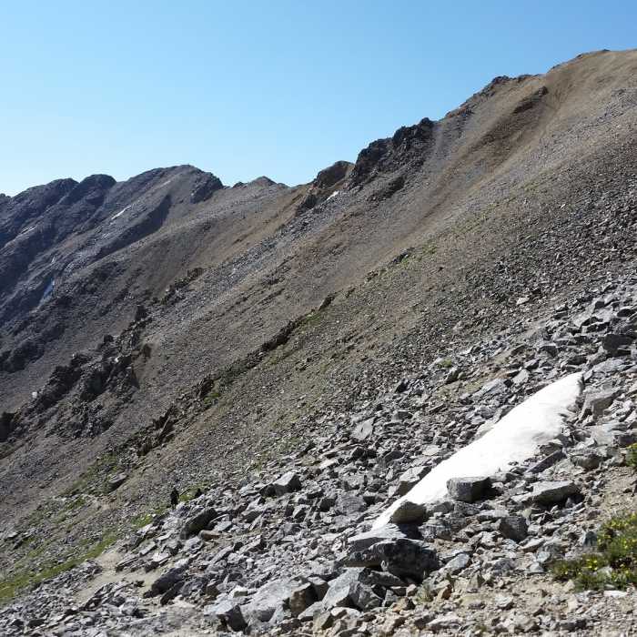
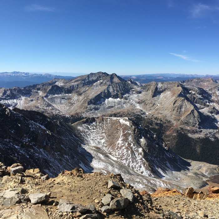
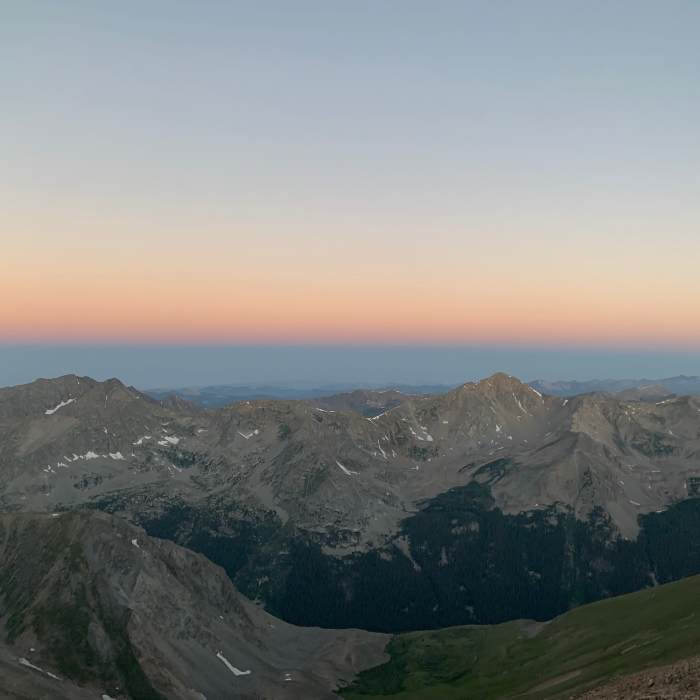
Follow the trail to a seasonal stream and out of treeline. Avoid the drainage ahead, a scree slope to Missouri's south ridge; instead, wrap left toward the west ridge, easing across a tundra basin with views of Huron Peak. After a brief, gentle stretch near 12,000 feet, the climb resumes, switchbacking nearly 1,000 feet up the steep west ridge. About 2 miles from the lake, it joins the standard route from Missouri Gulch.
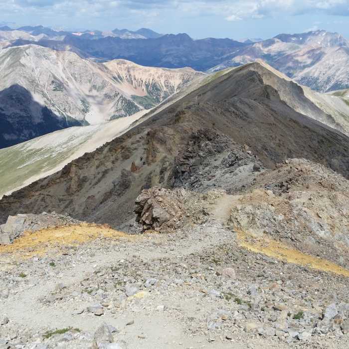
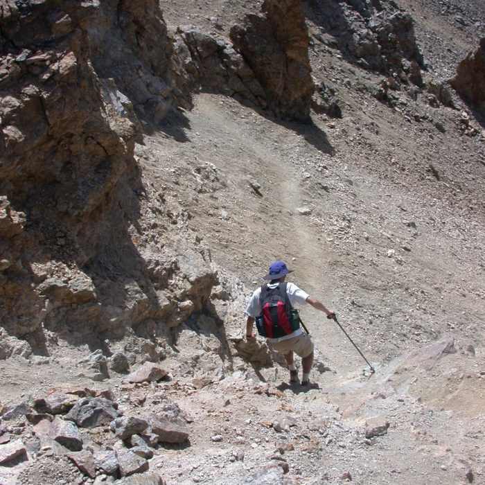
Crux: With under a mile to go, the trail threads through talus to the true crux: sheer, loose gravel where the trail dips below the ridge crest. Exposure is serious — a fall from around 13,900 feet drops roughly 1,400 feet into the basin. Move carefully, using your hands for balance.
Past the crux, follow the ridge the final 200 feet to the summit.
Retrace this route on the descent, taking extra care on the loose rock.
No Condition Reports
Continental Divide Trail: Colorado Section 22
Continental Divide Trail: Colorado Section 22
CDT: Sheep Gulch to Halfmoon Creek (CO Sec. 23)
CDT: Sheep Gulch to Halfmoon Creek (CO Sec. 23)
Huron Peak via South Winfield Trailhead
Huron Peak via South Winfield Trailhead
Lake Ann Out-and-Back
Lake Ann Out-and-Back
Huron Peak North Ridge from Lulu Gulch
Huron Peak North Ridge from Lulu Gulch
Missouri Mountain Northwest Ridge
Missouri Mountain Northwest Ridge
Contributors

