
Ready to explore this trail?
View Trail Map in AppPath Type
There and Back
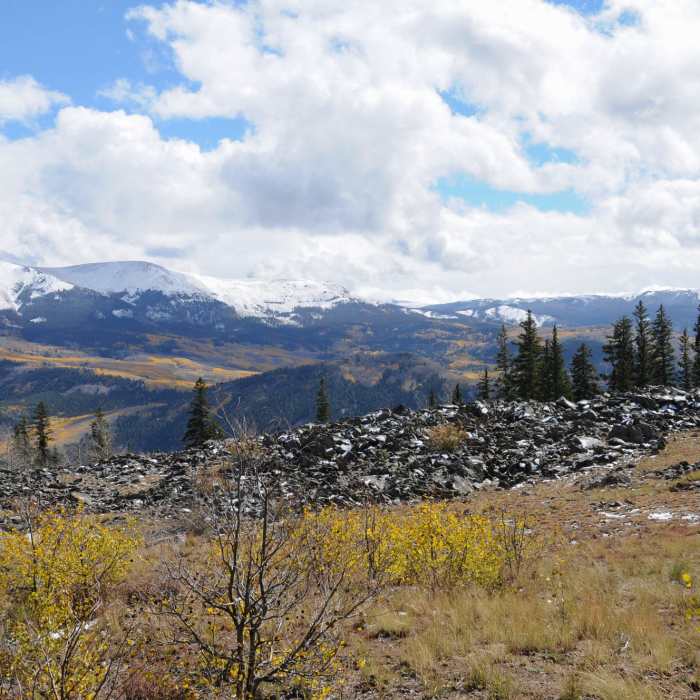
Starting directly from Lake City, this 8.6-mile out-and-back trail climbs 2,965 feet to the subalpine waters of Crystal Lake. Situated at 11,781 feet beneath Crystal Peak, the lake offers views of the surrounding San Juan Mountains.
The route begins in town, heading along Highway 149, Ocean Wave Drive, and Rocky Springs Drive. To shorten the hike by about two miles round-trip, hikers can drive to the trailhead parking area next to the historic cemetery on Rocky Springs Road. From here, the route follows a rugged 4x4 road before transitioning to singletrack at the Larsen Lakes Trail junction.
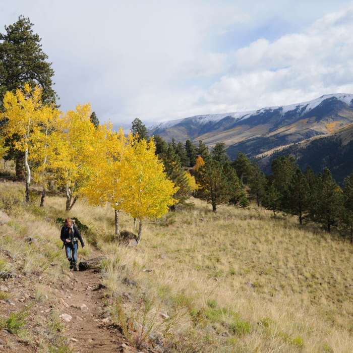
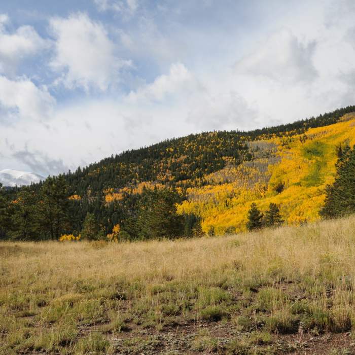
Ascending through aspen groves and pine forests, the trail passes near Hay Lake and crosses two boulder fields. Near the top, a final flat meadow leads to a marked spur trail on the left, which guides hikers to Crystal Lake and the ruins of a historic cabin.
No Condition Reports
Waterdog Lake Trail
Waterdog Lake Trail
Uncompahgre Peak South Ridge Route
Uncompahgre Peak South Ridge Route
Uncompahgre Peak From Matterhorn Creek
Uncompahgre Peak From Matterhorn Creek
Wetterhorn Peak Southeast Ridge
Wetterhorn Peak Southeast Ridge
Wetterhorn and Uncompahgre Peak
Wetterhorn and Uncompahgre Peak
Matterhorn Peak
Matterhorn Peak
Contributors

