Ready to explore this trail?
View Trail Map in AppThis route is best — and really only advisably — climbed when stable snow is present. Without snow it becomes loose rubble. Considerable exposure makes a fall on either surface consequential. Check peak condition reports before heading out.
Permits and fees are not required for parking or hiking from this trailhead. High-clearance, four-wheel-drive vehicles are required to access the upper trailhead; others must park at the lower lot.
Path Type
There and Back
This route begins and ends at the lower Castle Creek Trailhead (2WD parking area) along Castle Creek Road, after reaching the 14,037' summit of Conundrum Peak.
Follow Pearl Pass Road to the south, climbing steadily alongside Castle Creek. At 3.0 miles, approach the primary 4WD parking area and keep right to head up Montezuma Road. Continue ascending the rough, steep 4WD road as it curves southwest into Montezuma Basin.
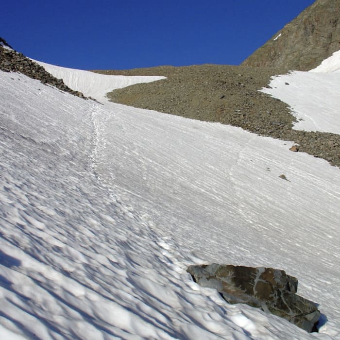
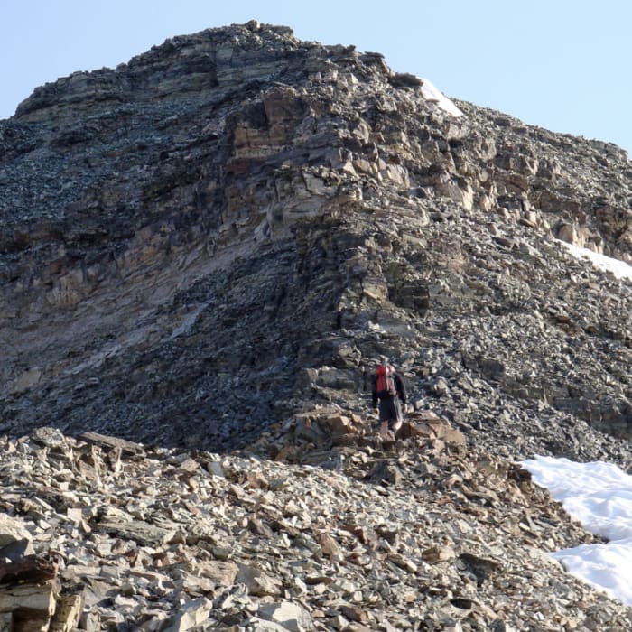
At 4.7 miles, pass the historic Montezuma Mine ruins on the right. Continue along the road, keeping right at 5.1 miles where a trail splits off of the road to the left. At the end of Montezuma road, head southwest. Around 5.6 miles, turn right to begin ascending the steep, loose talus slope of the headwall. There is no defined trail, but continue to the southwest. Reach the basin around 13,400' and stay to the north of the alpine lake until reaching the base of the steep slope. Climb up the slope to reach the Castle-Conundrum saddle around 13,600'.
Crux: The steep slope below the Castle-Conundrum saddle is best climbed on stable snow. Without it, the slope deteriorates to loose rubble with Considerable exposure — a fall here has serious consequences. Carry an ice axe when snow is present and check peak condition reports before committing to this route.
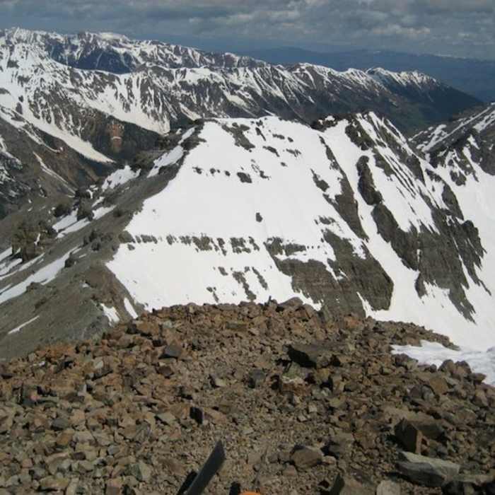
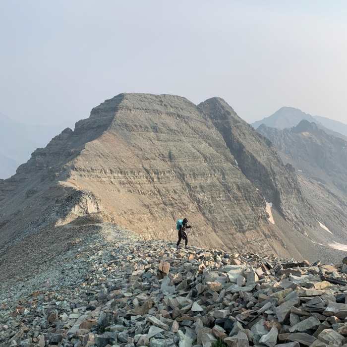
From the saddle, turn right and follow the rocky ridge to the north, traversing blocks and minor towers to reach the summit of Conundrum Peak.
Carefully retrace your steps to return to the trailhead.
No Condition Reports
Castle and Conundrum Peaks
Castle and Conundrum Peaks
Castle Peak Northeast Ridge
Castle Peak Northeast Ridge
Cathedral Lake Trail
Cathedral Lake Trail
American Lake
American Lake
Twin Lakes Trail #402
Twin Lakes Trail #402
Conundrum Hot Springs
Conundrum Hot Springs
Contributors

