Ready to explore this trail?
View Trail Map in AppRegional Classic
A must do route for the area handpicked by local experts.
Permits and fees are not required for parking or hiking from this trailhead.
High-clearance, four-wheel-drive vehicles are required to access the upper trailhead; others must park at the lower lot.
Path Type
There and Back
This route begins and ends at the lower Castle Creek trailhead at the end of Castle Creek Road, after reaching the summits of Castle Peak and Conundrum Peak.
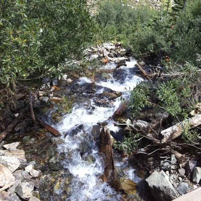
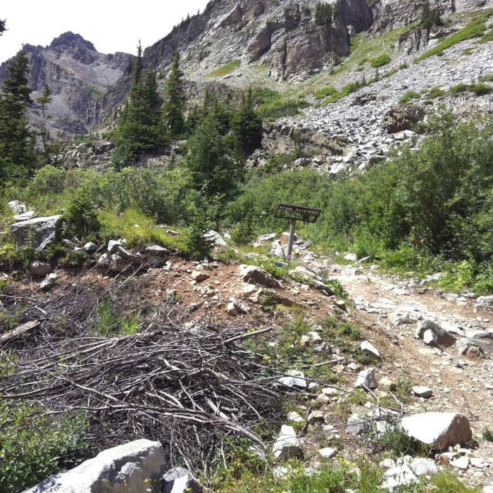
From the trailhead head south, keeping right on Pearl Pass Road and hiking along the dirt road. At 3.0 miles, reach the junction with Montezuma Road. Bear right, cross the bridge, and continue ascending Montezuma Road.
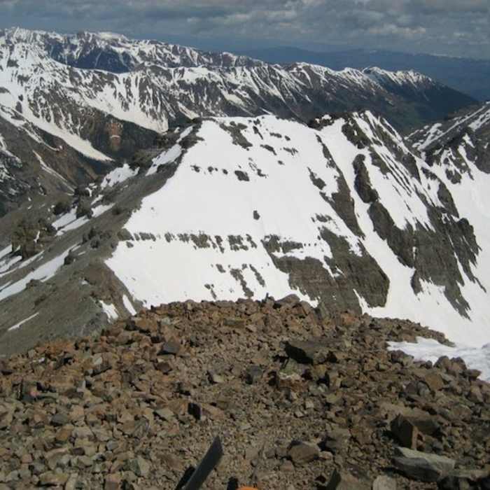
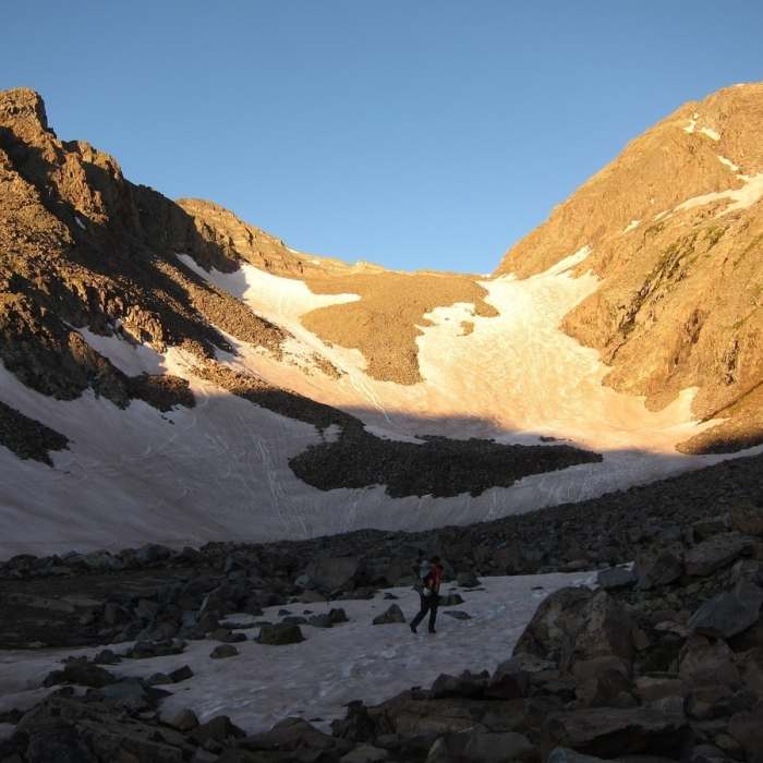
Around 5.1 miles, near the road's end at 12,800', keep right along the rugged path heading toward Castle Peak's northeast ridge. Scramble up steep, loose talus to the ridge saddle at 13,400', then follow the ridge line to the summit of Castle Peak at 6.1 miles.
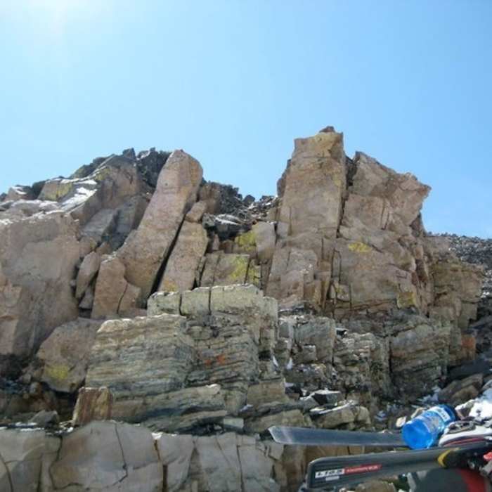
Crux: The upper 500 vertical feet of Castle Peak's northeast ridge — from ridge proper at 13,700' to the summit — is the most demanding section of the route: very steep, very loose rock that stops just short of requiring hands-on scrambling but demands slow, deliberate movement. Route-finding deteriorates here too, though the false summit near 14,000' keeps you oriented. Conundrum's ascent from the 13,800' saddle is separately described as "absurdly steep," though slightly more straightforward than Castle's ridge. Both summits punish any attempt to rush.
From the summit of Castle Peak, descend northwest down loose rock to the Castle-Conundrum saddle at 13,800 feet. Ascend the steep, rocky ridge north to reach the summit of Conundrum Peak at 6.5 miles.
Retrace your steps back along the ridge, re-summiting Castle Peak, and descend Montezuma Basin to return to the trailhead.
No Condition Reports
Castle Peak Northeast Ridge
Castle Peak Northeast Ridge
Conundrum Peak South Ridge
Conundrum Peak South Ridge
Cathedral Lake Trail
Cathedral Lake Trail
American Lake
American Lake
Twin Lakes Trail #402
Twin Lakes Trail #402
Conundrum Hot Springs
Conundrum Hot Springs
Contributors

