


Ready to explore this trail?
View Trail Map in AppAccessing this point-to-point route requires a car shuttle between the Shepherd Pass Trailhead and the Baxter Pass Trailhead. Both trailheads are accessed via dirt roads off US Highway 395 near Independence, California; high-clearance vehicles are recommended due to rough road conditions.
Wilderness permits are required for all overnight stays. Permits must be obtained from the Inyo National Forest via [Recreation.gov](https://www.recreation.gov) before starting the trip.
Proper food storage is mandatory. Approved hard-sided bear-resistant food canisters are required for all overnight backcountry travel in both the Inyo National Forest and Sequoia and Kings Canyon National Parks.
Path Type
Point to Point
The Shepherd Pass to Baxter Pass route is a strenuous 47-mile point-to-point backpacking trip in the Eastern Sierra. This route connects the Shepherd Pass Trailhead to the Baxter Pass Trailhead, requiring a vehicle shuttle. Although it can be traveled in either direction, it is typically hiked from south to north, starting at Shepherd Pass and ending at Baxter Pass. A major portion of the journey follows the combined Pacific Crest Trail and John Muir Trail (PCT/JMT). The route traverses the John Muir Wilderness within Inyo National Forest and enters Kings Canyon National Park.
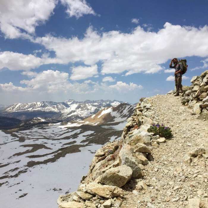
Starting at the Shepherd Pass Trailhead, hikers can use either the hiker trail or the stock trail, the latter adding 1.25 miles to the trip. The Shepherd Pass Trail climbs nearly 6,000 feet over 10 miles to reach Shepherd Pass at 12,019 feet. A patch of snow often lingers late into the season on the final stretch to the pass. From the pass, the trail descends 4 miles to meet Tyndall Creek and the PCT/JMT. Heading north, the trail climbs to Forester Pass, the highest point of the route at 13,147 feet. In high-snow years, snow gear may be necessary to safely navigate the buried switchbacks.
After crossing Forester Pass, an 8-mile descent follows the Bubbs Creek drainage, offering views of University Peak, the Kearsarge Pinnacles, and East Vidette. Approximately 12 miles past Forester Pass, the trail climbs over Glen Pass at 11,926 feet before descending to Rae Lakes. Near mile 36, at Dollar Lake, the route departs the JMT/PCT and heads east toward Baxter Pass. This section of the trail can be overgrown and difficult to track.
Baxter Lake sits just below Baxter Pass, providing a final camping option before crossing the Sierra Crest. From the pass at 12,330 feet, the trail descends steeply to the Baxter Pass Trailhead. This final descent is rugged and exposed, with sections of stinging nettles along the creek.
No Condition Reports
Mount Williamson
Mount Williamson
Mount Tyndall North Rib
Mount Tyndall North Rib
Lake South America Loop from Shepherds Pass
Lake South America Loop from Shepherds Pass
Shepherd to Kearsarge
Shepherd to Kearsarge
Junction Pass Loop
Junction Pass Loop
Shepherd Pass to Whitney Portal
Shepherd Pass to Whitney Portal
Contributors

