
Ready to explore this trail?
View Trail Map in AppOvernight stays require a wilderness permit from the Inyo National Forest, which can be reserved on Recreation.gov under the Shepherd Pass Trailhead. Because the route crosses into Sequoia National Park, wilderness regulations for both jurisdictions apply, including the mandatory use of approved bear-resistant food canisters. The trailhead is accessed via Symmes Creek Road (Foothill Road) from Independence; the final dirt road section is rough and a high-clearance vehicle is recommended.
Path Type
Loop
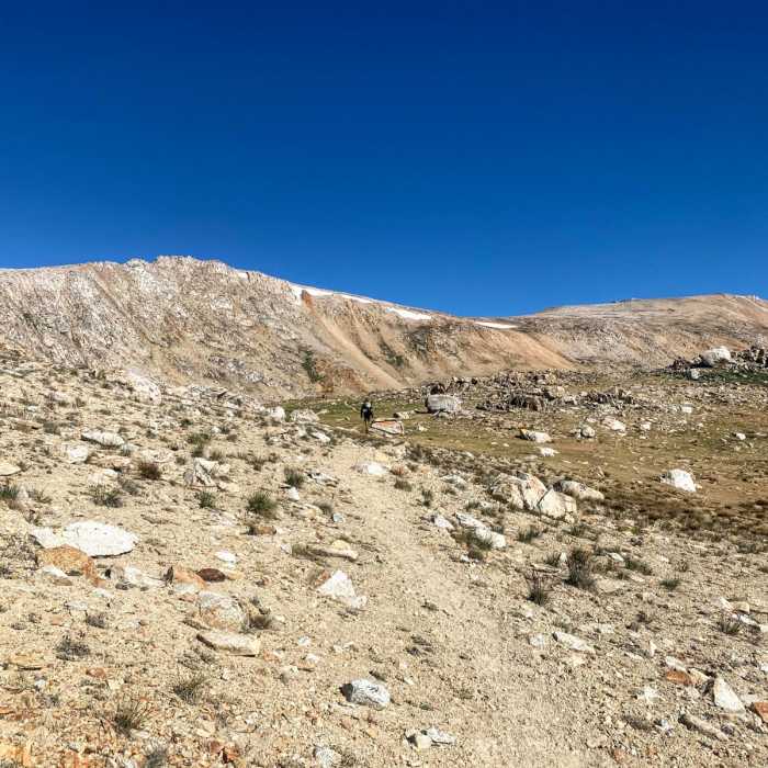
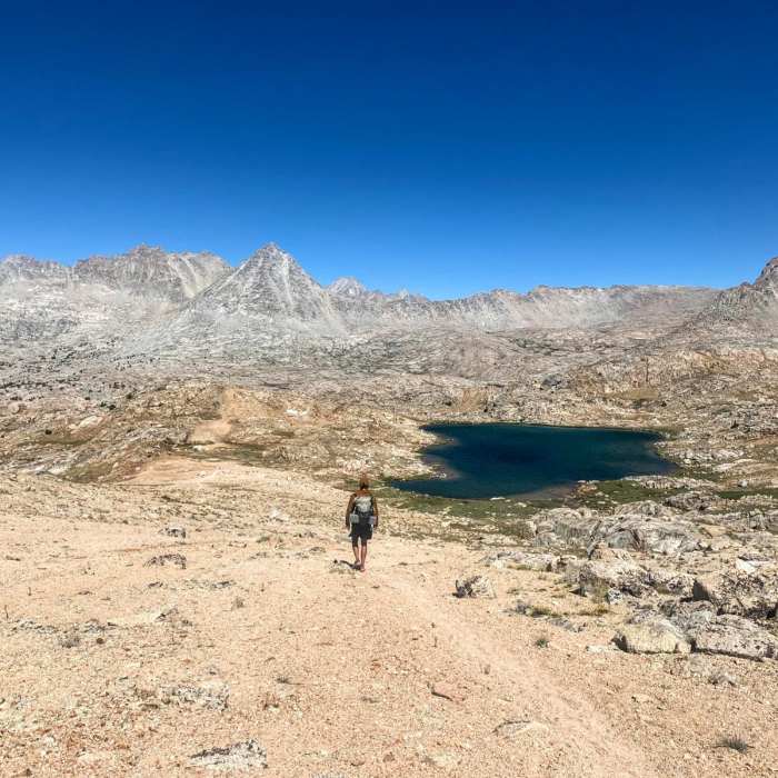
The Shepherds Pass to Lake South America route is a 37.5-mile lollipop-loop trail traversing the John Muir Wilderness and Sequoia National Park. Beginning near Independence, California, the route offers a demanding journey through the high Sierra Nevada, characterized by rugged granite peaks, alpine meadows, and remote alpine lakes.
The trek commences on the Shepherds Pass Trail, starting in the Owens Valley and climbing approximately 6,000 feet over 10 miles to reach Shepherds Pass. From the pass, the trail descends southwest to connect with the combined Pacific Crest Trail (PCT) and John Muir Trail (JMT).
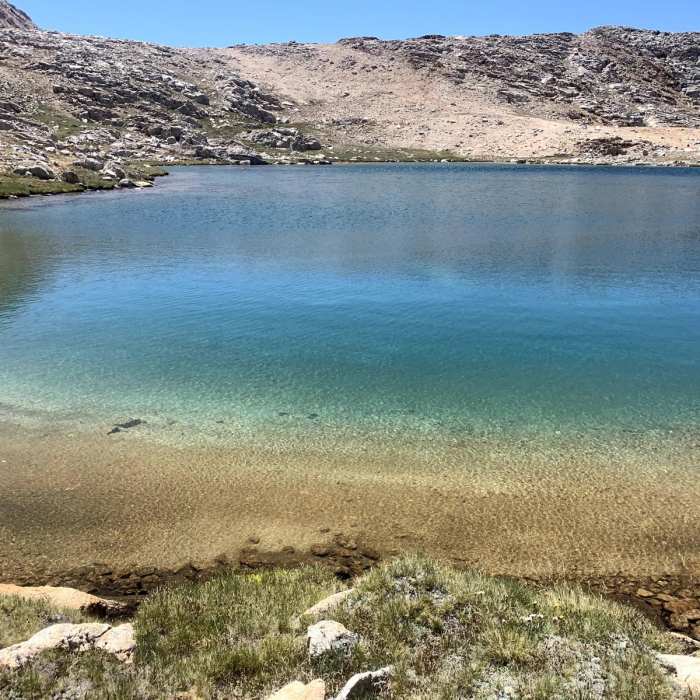
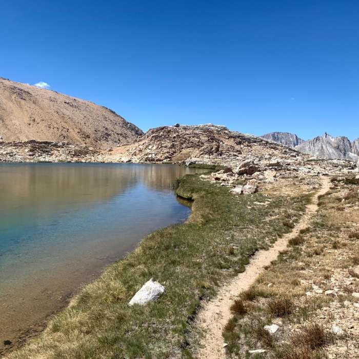
After a brief 0.3-mile stretch on the PCT/JMT, the route turns west onto the Lake South America Trail, heading 2.5 miles to the Kern River. The trail then follows the river north, ascending into a high basin to reach a ridge overlooking Lake South America, which sits at the headwaters of the Kern River. The trail loops around the lake's northwestern shore before returning east to the JMT/PCT junction, where hikers retrace their steps back over Shepherds Pass to the trailhead.
No Condition Reports
Shepherd to Kearsarge
Shepherd to Kearsarge
Junction Pass Loop
Junction Pass Loop
Shepherd Pass to Baxter Pass
Shepherd Pass to Baxter Pass
Mount Williamson
Mount Williamson
Mount Tyndall North Rib
Mount Tyndall North Rib
Shepherd Pass to Whitney Portal
Shepherd Pass to Whitney Portal
Contributors

