
Ready to explore this trail?
View Trail Map in AppRegional Classic
A must do route for the area handpicked by local experts.
Overnight camping requires a wilderness permit with a 15-person daily quota at Shepherd Pass, reservable up to six months ahead via recreation.gov; day hikes need no permit.
Path Type
There and Back
The route starts at Shepherd Pass, west of Independence, and ends at the summit of Mount Williamson.
From the trailhead, cross Symmes Creek three times in the first mile, then climb a long series of switchbacks up the exposed south wall of Symmes Creek canyon to Symmes Creek Saddle at 8.0 miles. From the saddle, the trail counterintuitively descends about 500 vertical feet to bypass a cliff band before climbing again to Anvil Camp at 10,300 feet, 10.3 miles in — the last site with reliable tree cover. Beyond Anvil Camp, pass The Pothole, the final dependable water source, and switchback up to Shepherd Pass at 12,000 feet, 12.5 miles from the trailhead. Snow can linger on the pass's north-facing approach into midsummer; carry an ice axe and crampons if conditions warrant.
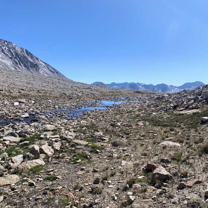
At Shepherd Pass, leave the maintained trail and turn left (east), traversing cross-country along the Sierra Crest for about 1 mile toward Williamson Bowl — this section requires route-finding, with no trail.
Descend into the bowl and cross roughly 2 miles of talus and boulder fields, passing north of Lake Helen of Troy, to reach the base of the West Face below a dark rock band known as the Black Stain. From there, climb a broad Class 2 chute for about 1,500 vertical feet, favoring the right side where rock is more solid.
Crux: Roughly 200 vertical feet below the top of the chute, the route narrows into a Class 3 chimney about 100 feet long — the crux of the climb. Face into the chimney and use the positive holds on both walls; exposure is real but limited to short sections of no more than 10 feet at a time, and most parties find it more secure than the loose chute below.
Above the chimney, easier terrain leads to the summit plateau, and a final push of less than 0.5 miles to the true summit.
Retrace the same route to descend, using extra caution reversing the chimney and downclimbing the chute. Most parties split the round trip over two days, camping at Anvil Camp or in Williamson Bowl.
No Condition Reports
Shepherd Pass to Baxter Pass
Shepherd Pass to Baxter Pass
Mount Tyndall North Rib
Mount Tyndall North Rib
Lake South America Loop from Shepherds Pass
Lake South America Loop from Shepherds Pass
Shepherd to Kearsarge
Shepherd to Kearsarge
Junction Pass Loop
Junction Pass Loop
Shepherd Pass to Whitney Portal
Shepherd Pass to Whitney Portal
Contributors

