Ready to explore this trail?
View Trail Map in AppA Shasta Summit Pass is required for climbing above 10,000', and free wilderness permits are also required. Both permits, along with mandatory human waste pack-out bags, are available at the
trailhead.
Wilderness regulations apply within the Mount Shasta Wilderness Area.
Accessing the trailhead requires driving on Pilgrim Creek Road and Forest Road 41N15, which are gravel, high-clearance routes. These roads are typically gated or blocked by snow from November through June.
Path Type
There and Back
This route begins and ends at the Clear Creek Trailhead after reaching the summit of Mount Shasta from Clear Creek.
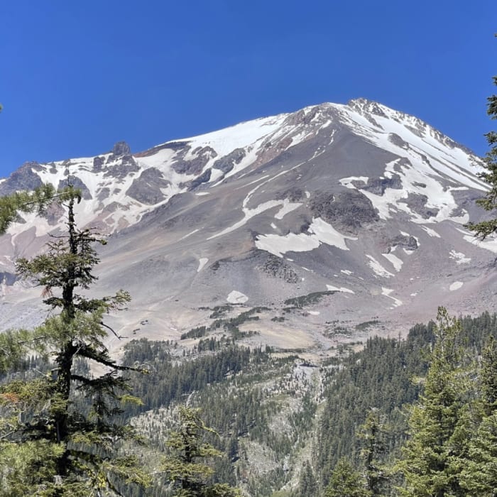
From the trailhead, follow the Clear Creek Trail northwest through a moderate coniferous forest. Keep right at 0.8 miles to continue climbing along the ridge above Mud Creek. Around 2.6 miles and 8,300', descend off of the ridge to the southwest. At approximately 3.1 miles and 8,600', pass through the Clear Creek Meadow, which offers seasonal spring water and campsites.
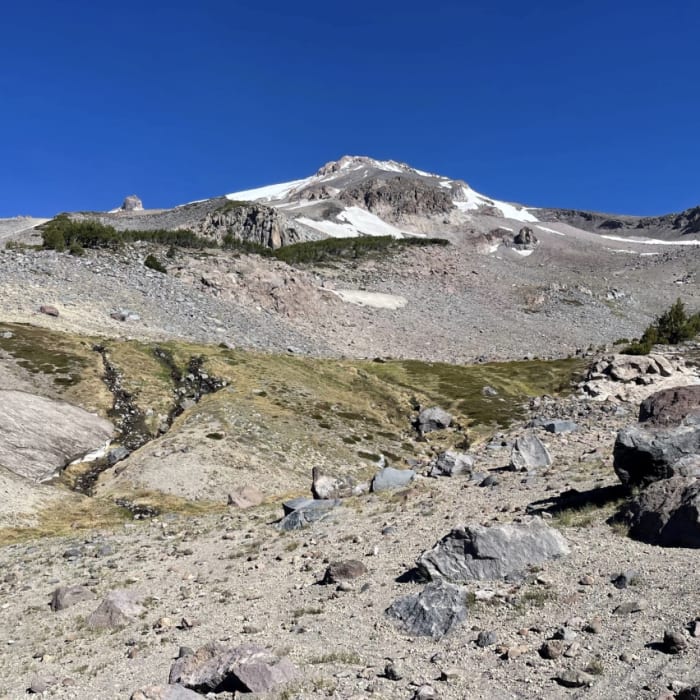
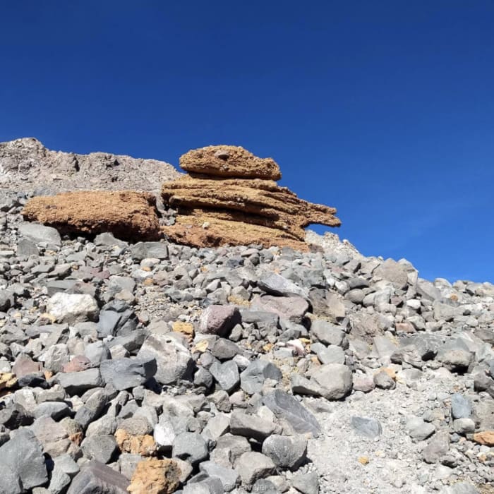
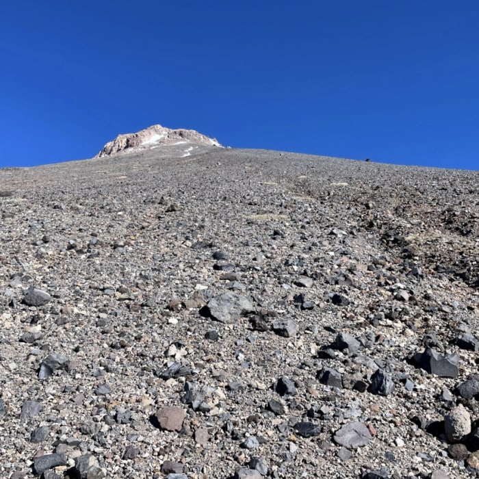
From the meadow, the defined trail fades into a heavily eroded volcanic scree path. Ascend north-northwest up the ridge, keeping the chasm of Mud Creek Canyon on your left. Climb approximately 3,000 vertical feet through steep, loose pumice and sand. At 12,800', pass the prominent red rock formation known as "Mushroom Rock."
Crux: The rock bulge above Mushroom Rock on the upper ridge can be climbed left, right, or straight up depending on conditions; flanking lines on snow or ice carry fall consequences, so commit only to terrain within your ability. Mark the top of the bulge on your navigation device before the final push — descending in the correct location is critical.
Above Mushroom Rock, climb another 1,300 vertical feet through increasingly steep scree and snow fields to reach the summit plateau.Traverse the plateau to the final rocky summit block and climb to the peak of Mount Shasta at 14,179'.
Retrace your steps back down the scree ridge to the trailhead, exercising caution on the loose descent.
No Condition Reports
Mt. Shasta Horse Camp
Mt. Shasta Horse Camp
Old Ski Bowl via Snow Bunny Flat Trail
Old Ski Bowl via Snow Bunny Flat Trail
Mount Shasta via Avalanche Gulch
Mount Shasta via Avalanche Gulch
Mount Shasta via Hotlum-Bolam Ridge
Mount Shasta via Hotlum-Bolam Ridge
McCloud River Three Falls Hike
McCloud River Three Falls Hike
Black Butte Trail
Black Butte Trail
Contributors

