Ready to explore this trail?
View Trail Map in AppRegional Classic
A must do route for the area handpicked by local experts.
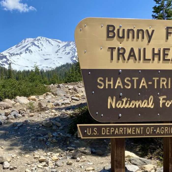
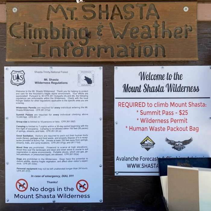
A Summit Pass is required for climbing above 10,000 feet, and free wilderness permits are required. Both, along with mandatory human waste pack-out bags, are available at the Bunny Flat Trailhead.
Wilderness regulations apply in the Mount Shasta Wilderness area.
Path Type
There and Back
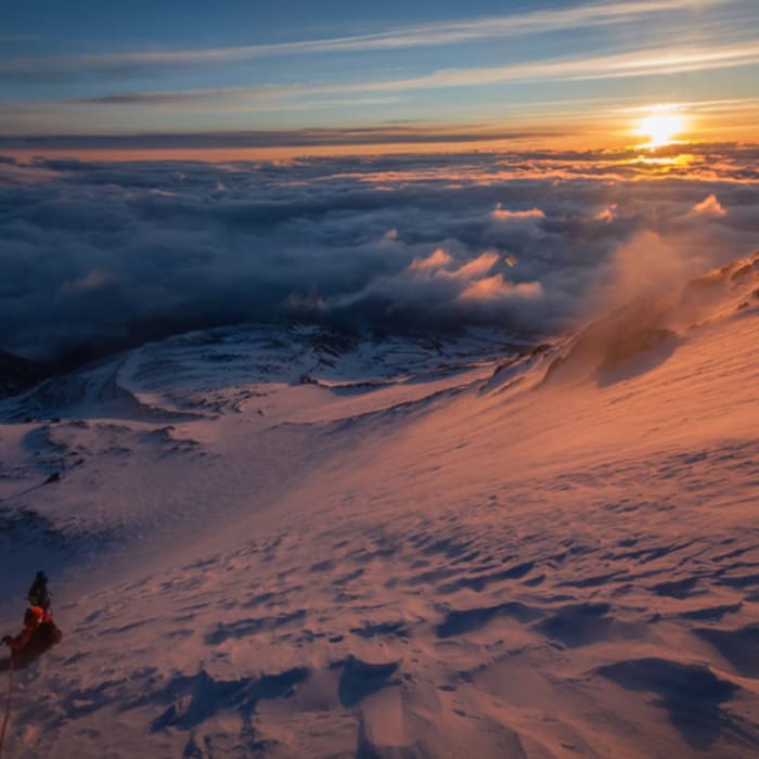
This route starts and ends at the Bunny Flat Trailhead after reaching the summit of Mount Shasta. Reaching the summit requires snow and ice mountaineering skills — this is a mountaineering route, not a hike. Crampons, an ice axe, a helmet, and the ability to self-arrest are mandatory; fitness alone does not replace these skills and gear on the upper mountain.
Begin at the Bunny Flat Trailhead (6,900 feet) and follow the wide trail, turning left at 0.2 miles onto the Horse Camp Trail. At 0.4 miles, turn right onto the Avalanche Gulch Trail. Above the tree line, around 1.5 miles, the dirt path gives way to talus and cross-country route-finding begins.
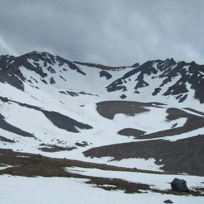
Ascend northeast into Avalanche Gulch over scree or snow to Helen Lake (10,400 feet) around 3.0 miles. From Helen Lake, climb the steep, 30-to-35-degree snow or scree slope toward the Red Banks, a distinct reddish rock band at 12,800 feet. Pass through one of the steep chutes or chimneys in the Red Banks to top out at 13,000 feet.
Crux: The primary crux is the Red Banks, a steep volcanic headwall at 13,000' where the correct line varies by season. Early season, the route skirts right along the top of the Konwakiton Glacier near Thumb Rock; later in the season, as the bergschrund widens on the right, the route shifts into the Red Banks' right-side chutes. The most visible central chute is a rockfall terrain trap — avoid it. For current conditions and route-finding beta, consult Climb Mode and Mountain Project.
Ascend the moderately steep slope above the Red Banks to the base of Misery Hill at 13,200 feet. Climb 600 vertical feet up Misery Hill’s loose scree or snow to reach the flat false-summit plateau, around 4.6 miles, at 13,800 feet. Cross the plateau northwest and scramble the final 300 vertical feet up the summit pinnacle to the top.
Retrace the route to descend. Exercise extreme caution descending the steep headwall above Helen Lake.
No Condition Reports
Mt. Shasta Horse Camp
Mt. Shasta Horse Camp
Old Ski Bowl via Snow Bunny Flat Trail
Old Ski Bowl via Snow Bunny Flat Trail
Mount Shasta via Clear Creek
Mount Shasta via Clear Creek
Black Butte Trail
Black Butte Trail
Faery Falls in Ney Spring Canyon
Faery Falls in Ney Spring Canyon
Mount Shasta via Hotlum-Bolam Ridge
Mount Shasta via Hotlum-Bolam Ridge
Contributors

