

Ready to explore this trail?
View Trail Map in AppPath Type
Loop
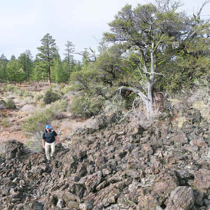
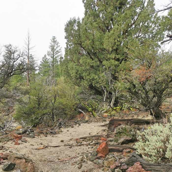
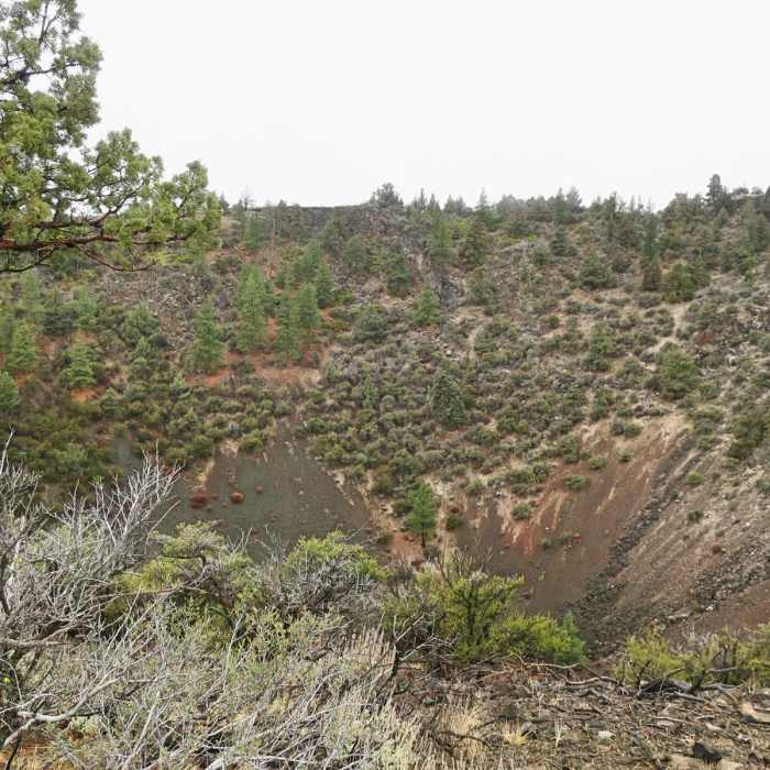
The Big Nasty trail, named for the nearby "big and nasty" lava field, travels through volcanic terrain in the Lava Beds National Monument. Before turning here, take a short, paved path to the first point of interest: Mammoth Crater. Mammoth Crater was the source of about 70% of the lava flow within the monument. As lava poured out of nearby vents, the earth above the crater sank, creating the steep-sided depression you can see today. Two viewpoints with interpretive signs explain the volcanic history at this site. Continue on the Big Nasty Trail to explore a 2-mile loop with views of the rugged, black lava flow. Contrary to the trail name, the path is actually quite pleasant, following a soft pumice path. Juniper, mountain mahogany and desert shrubs decorate the landscape. Look for colorful moss, lichens and seasonal wildflowers. If you're lucky you may spot deer, pika, jackrabbits or even badger! After completing the loop, cross the road and follow a 0.2-mile trail to an overlook of Hidden Valley. The trail travels along a cliff edge above the valley. A ponderosa pine forest fills the valley below. Hidden Valley was formed when the roof of an immense lava tube collapsed.
No Condition Reports
Mushpot Cave and Indian Well Cave
Mushpot Cave and Indian Well Cave
Skull Cave, Symbol Bridge + Big Painted Cave
Skull Cave, Symbol Bridge + Big Painted Cave
Schonchin Butte Trail
Schonchin Butte Trail
Captain Jacks Stronghold
Captain Jacks Stronghold
Mount Shasta via Hotlum-Bolam Ridge
Mount Shasta via Hotlum-Bolam Ridge
Mount Shasta via Clear Creek
Mount Shasta via Clear Creek
Contributors

