Upper Middle Beaver - FS 80164

Total Miles3.2
Technical Rating
2Easy
Best TimeSpring, Summer, Fall
Trail TypeFull-Width Road
Accessible By
Open Trail Map

Trail Overview

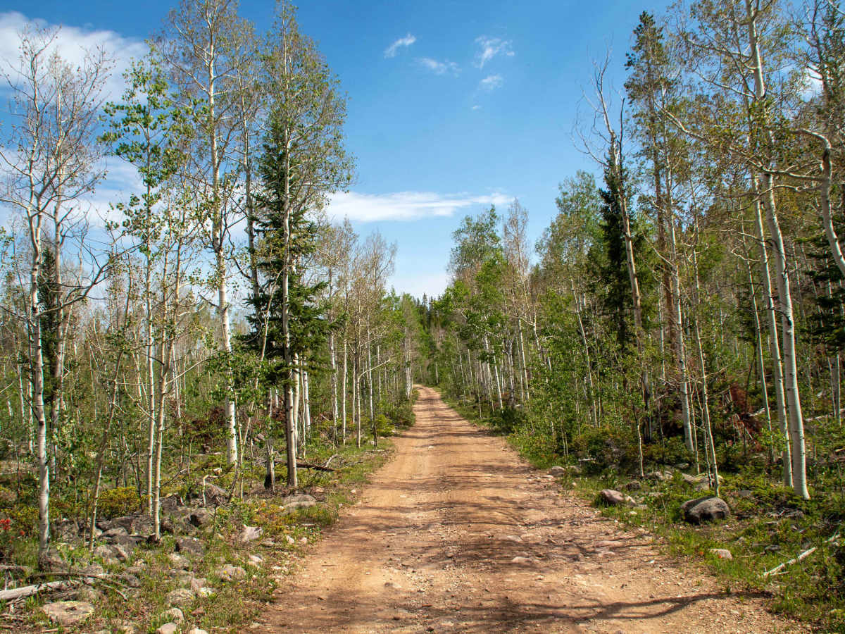
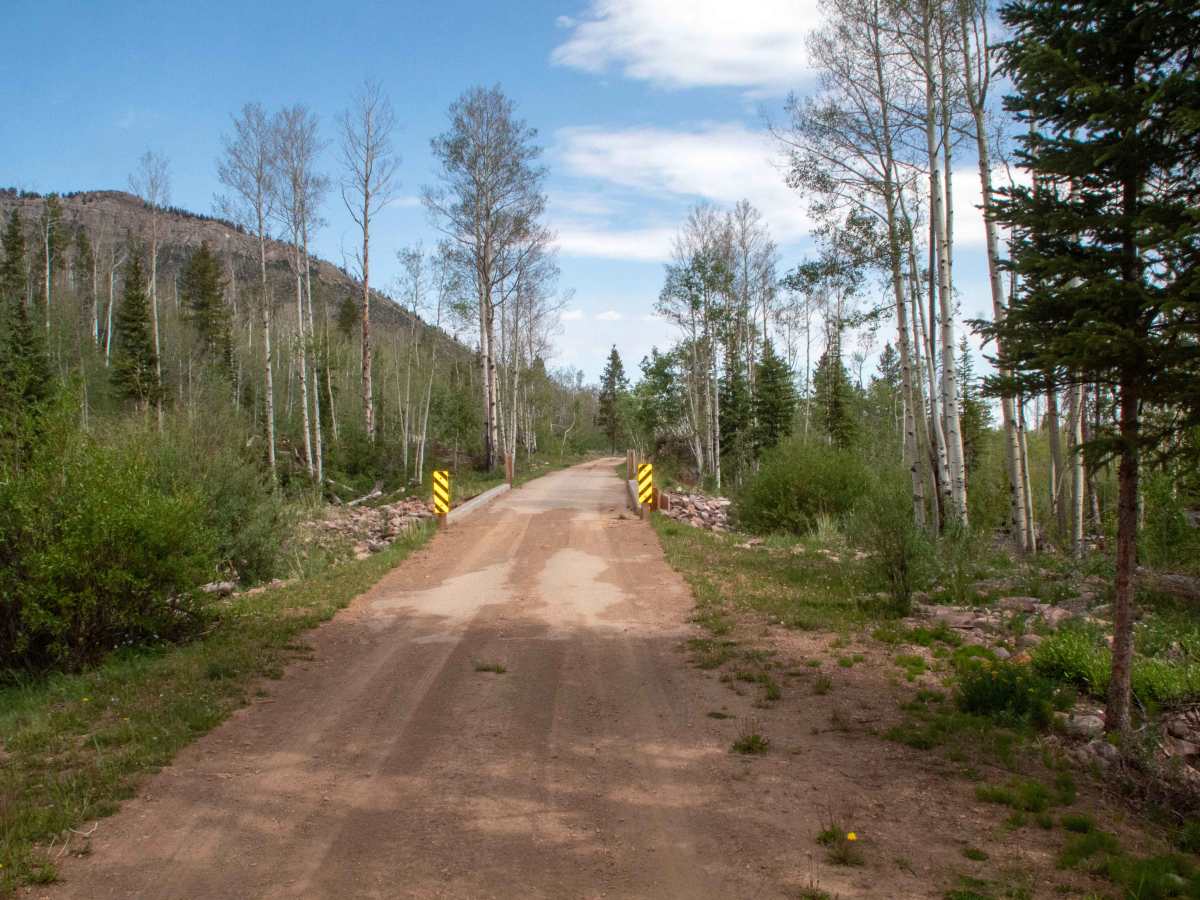
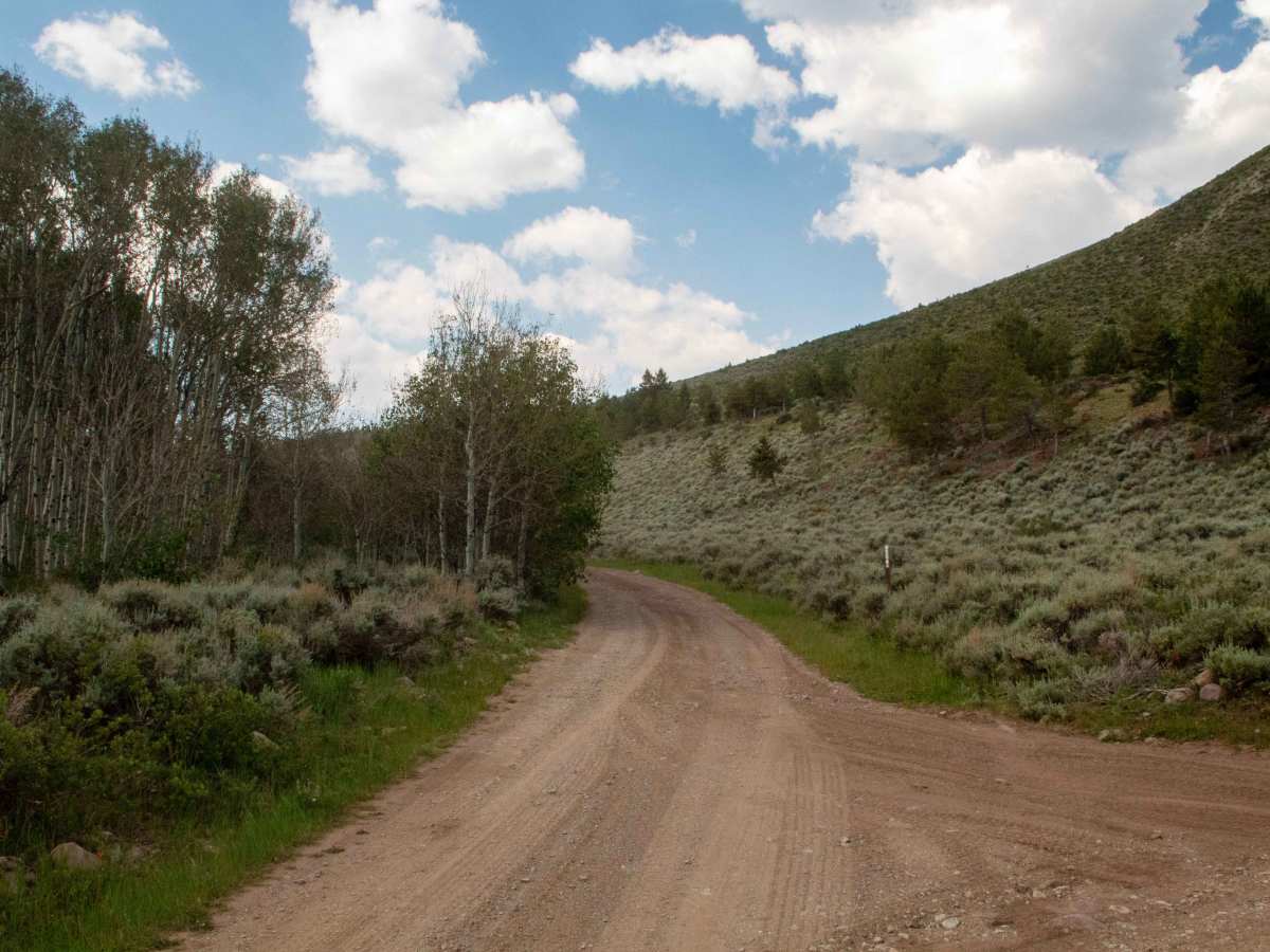
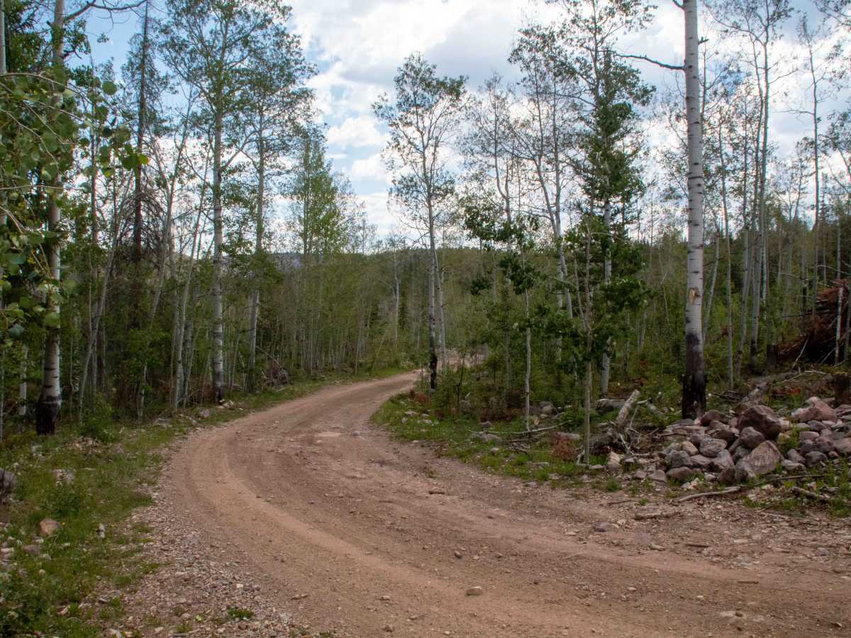
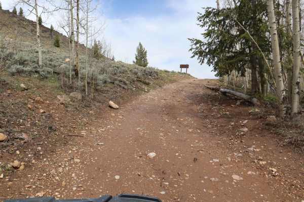
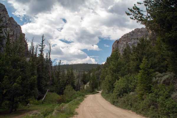
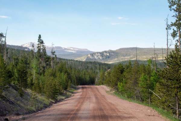
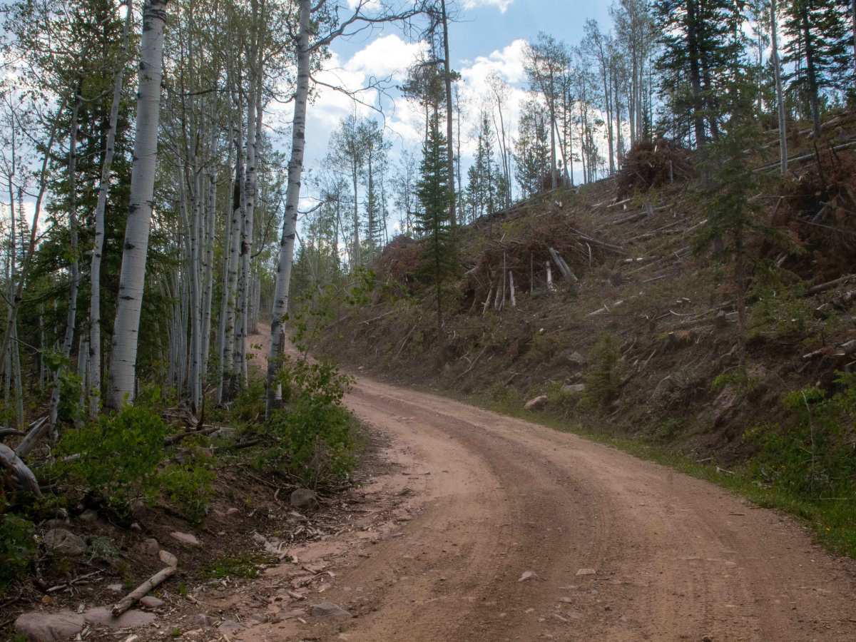
This trail is a short out-and-back spur trail off of Hole in the Rock to Henrys Fork that heads South to where it dead-ends at the Middle Beaver hiking trailhead. This trail is a smooth and well-maintained road with only a few rocks and ruts to watch out for. Along the trail, there are a couple of other spurs that lead to some dispersed camp spots with limited camping close to the trailhead, as the road switchbacks towards the end as it climbs a short hill up to the trailhead. This trail is open to all vehicles and has no closure date, but may be impassable due to snow during the winter and early spring months.

Photos of Upper Middle Beaver - FS 80164

Difficulty

There are some small rocks and ruts along the trail, as well as being only one vehicle wide, with places to pass.

Technical Rating

2

Upper Middle Beaver - FS 80164 Trail can be accessed by the following ride types:

  • Single Track
  • 50 Inch
  • 60 Inch
  • High Clearance
  • Full Width

Upper Middle Beaver - FS 80164 Map

The onX Offroad Difference

onX Offroad combines trail photos, descriptions, difficulty ratings, width restrictions, seasonality, and more in a user-friendly interface. Available on all devices, with offline access and full compatibility with CarPlay and Android Auto. Discover what you're missing today!

Open Trail Map