Trail Overview
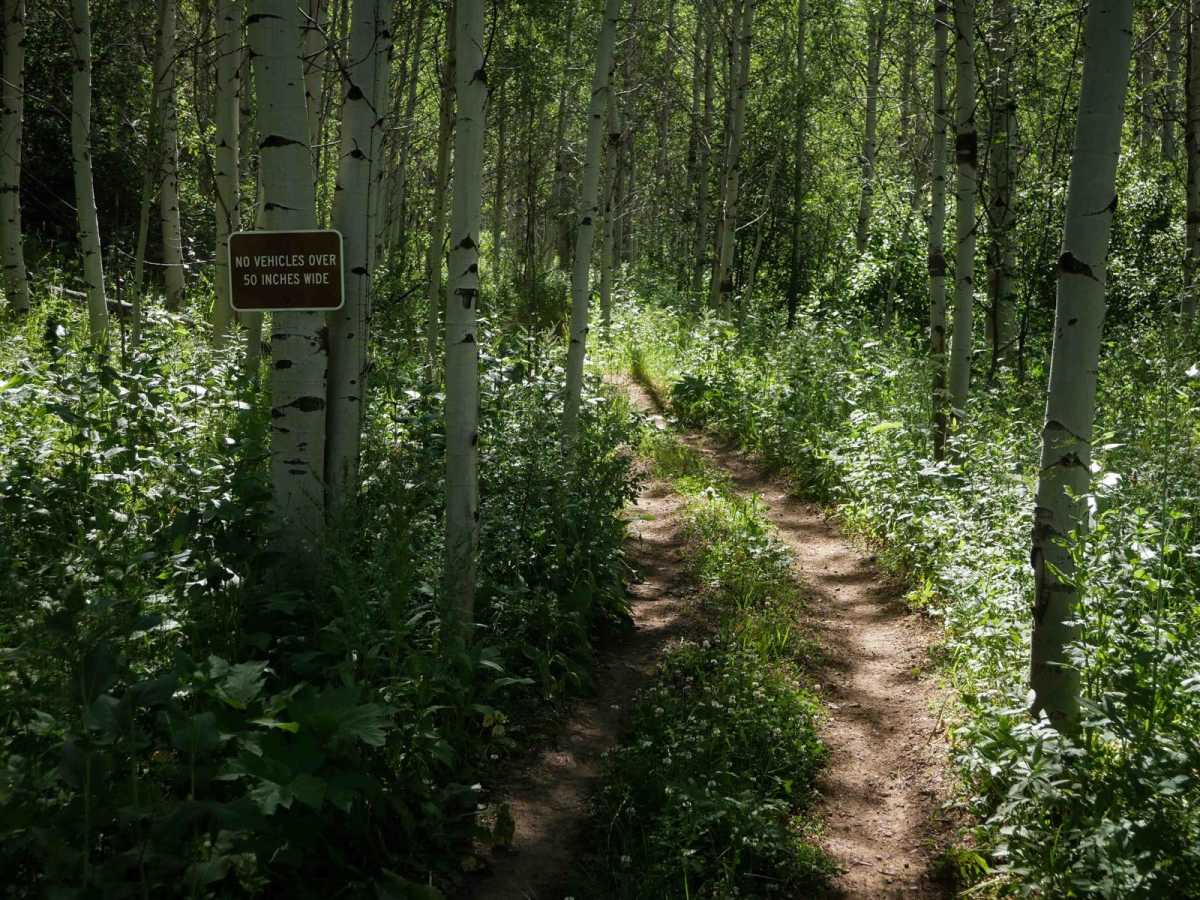
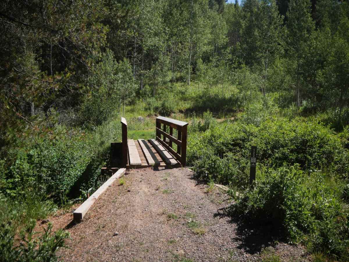
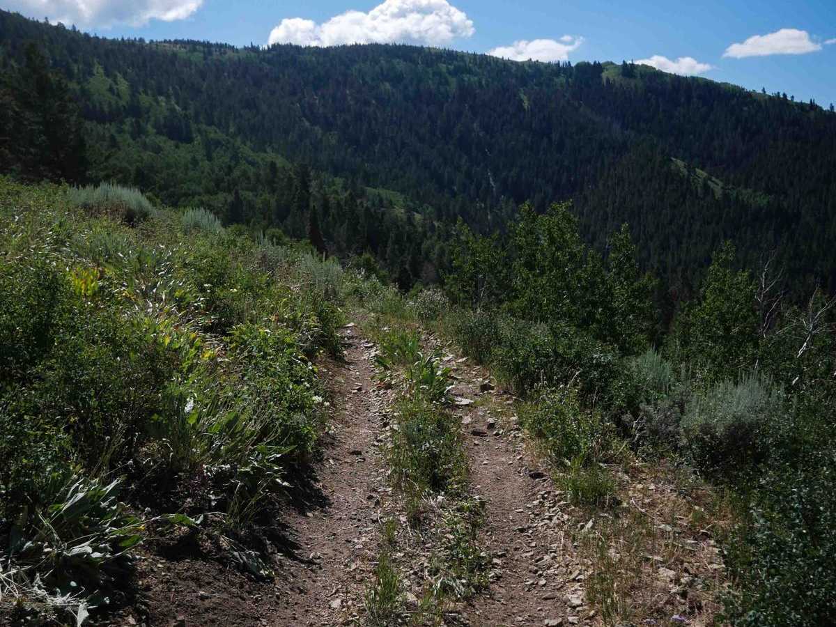
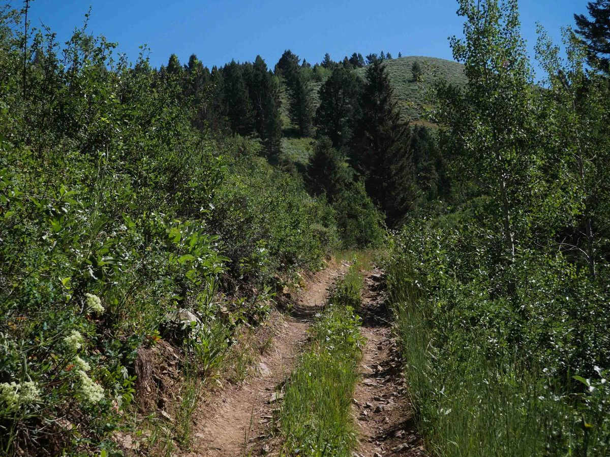
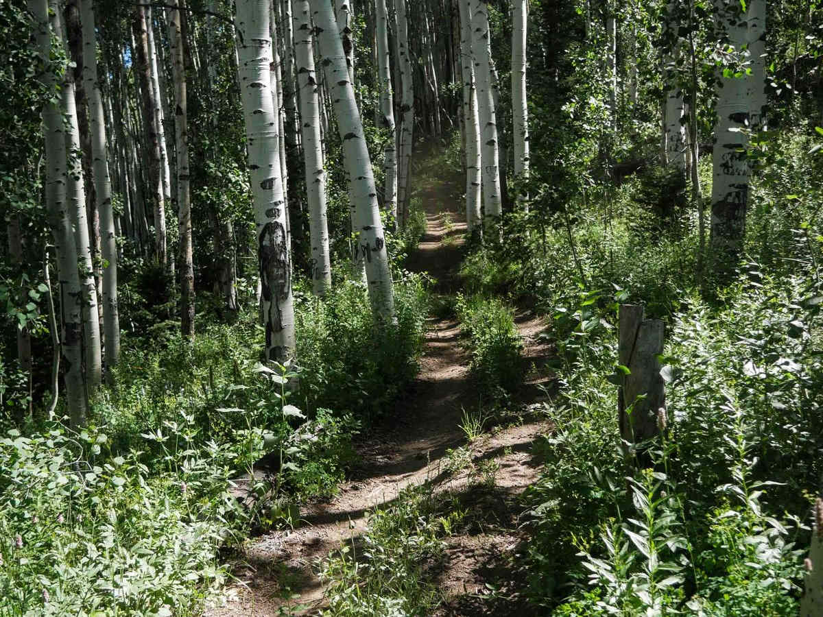
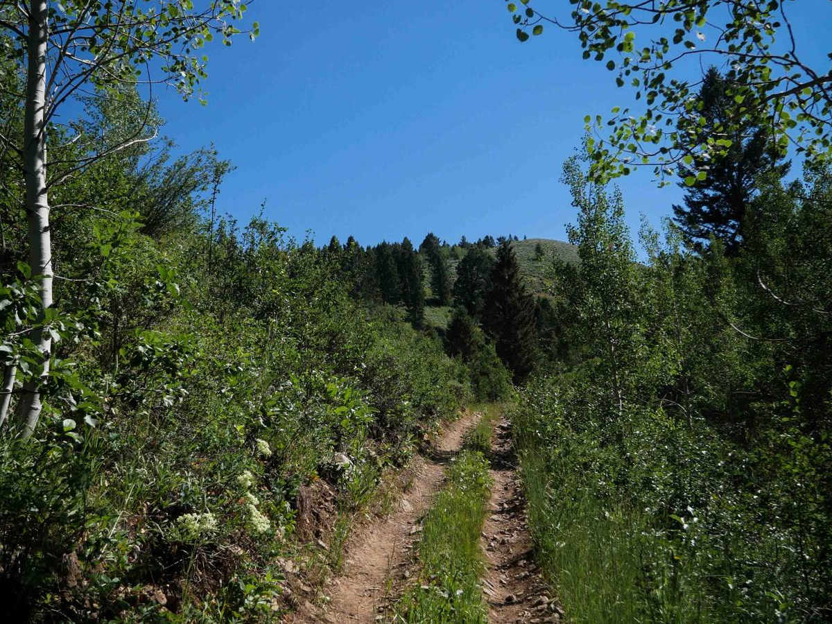
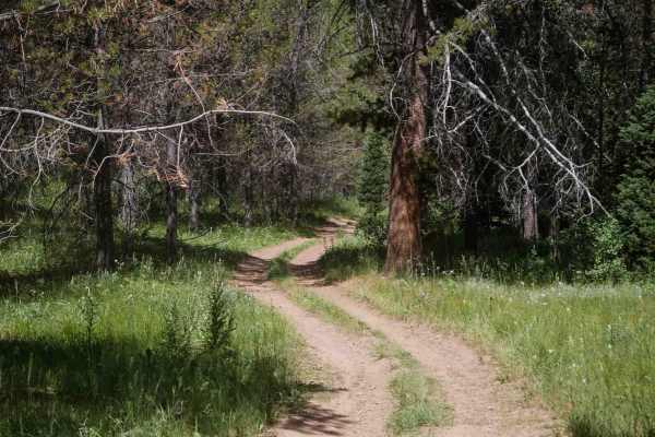
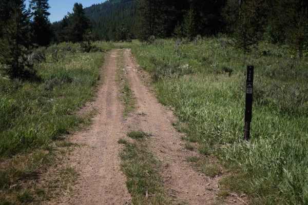
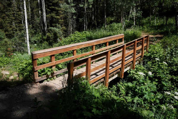
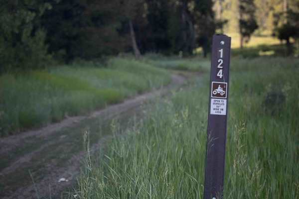
Coyote Creek #5122 is an intermediate ATV trail that stretches 2.1 miles, beginning on the west end at a narrow wooden bridge just wide enough for 50-inch vehicles. The trail features a steady, steep climb as it winds up a narrow, shelfy hillside path, with occasional sections full of large loose rocks, particularly at the beginning and near the end. Most of the rest of the trail is smooth dirt, with occasional ruts and uneven ground. Vegetation is dense and overgrown along much of the route. The trail passes through a mix of full sun exposure and scenic shaded aspen groves. It gets up to a scenic ridge line before connecting to Webster Ridge. Though the climb is constant, gaining over 1,600 feet elevation, and the trail is narrow in sections, it remains navigable and not overly technical, making it a fun and scenic ride for visitors to the Caribou National Forest.
Difficulty
This is an intermediate trail due to the narrow shelf sections, steep climbing, and scattered loose rock that create a moderate challenge. The overgrowth and hillside exposure also add to the difficulty despite the lack of major obstacles.