W4D

Total Miles0.2
Technical Rating
1Easy
Best TimeSpring, Summer, Fall, Winter
Trail TypeFull-Width Road
Accessible By
Open Trail Map

Trail Overview

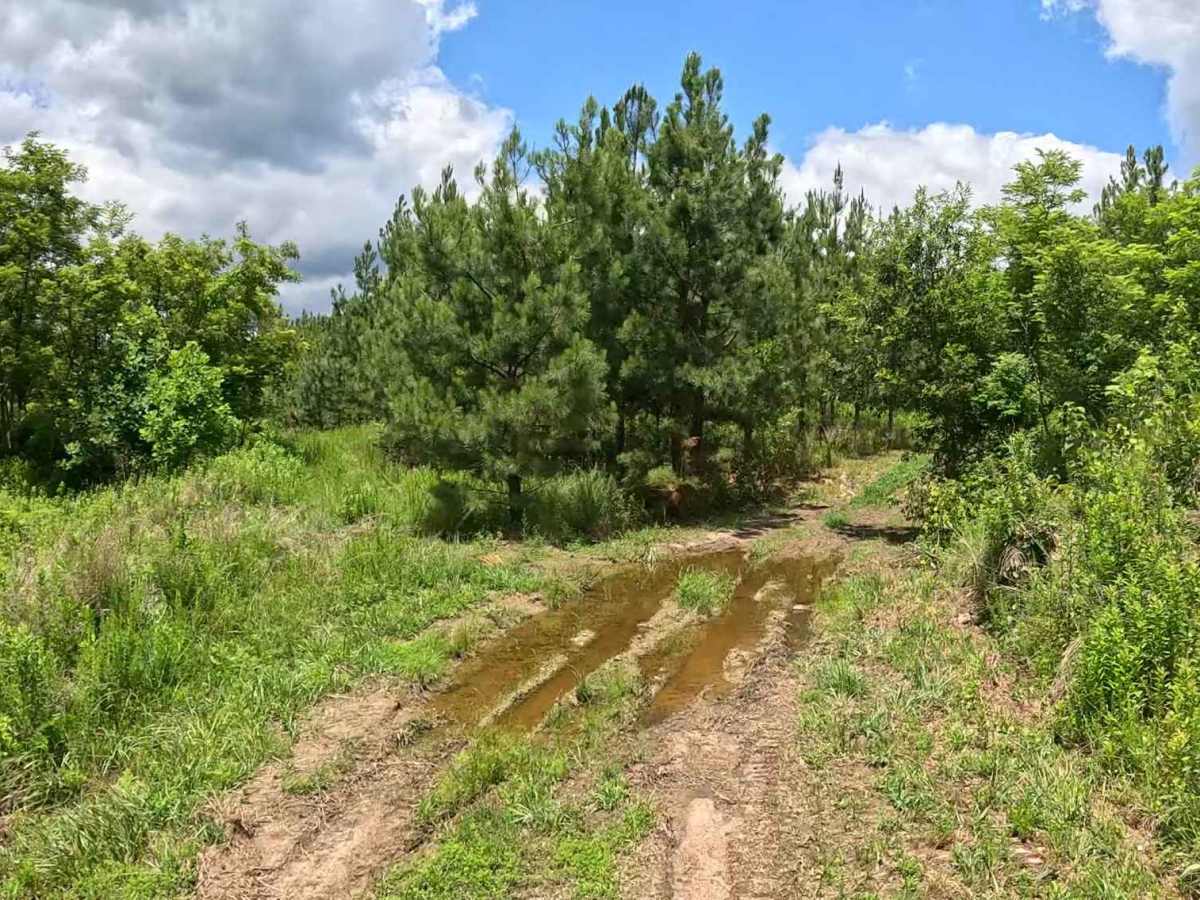
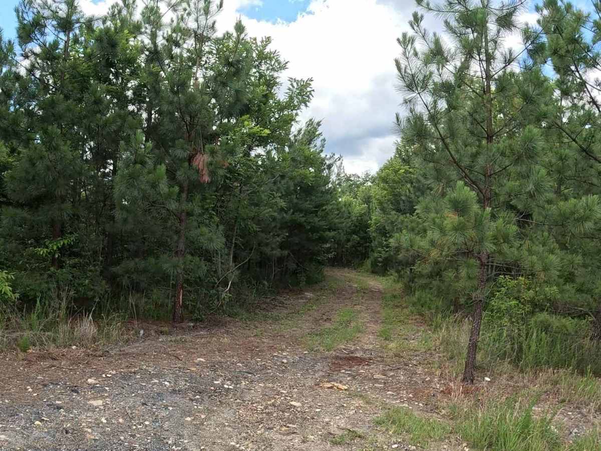
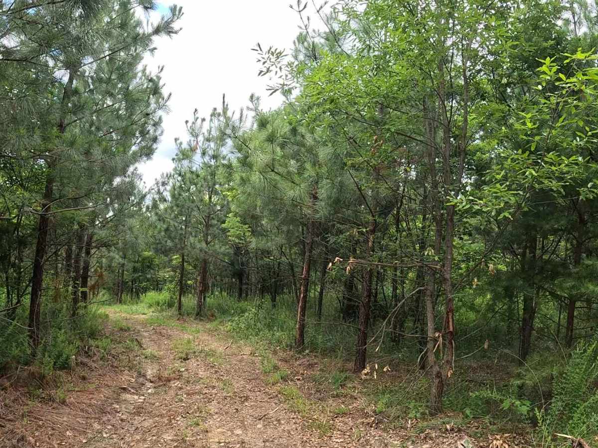
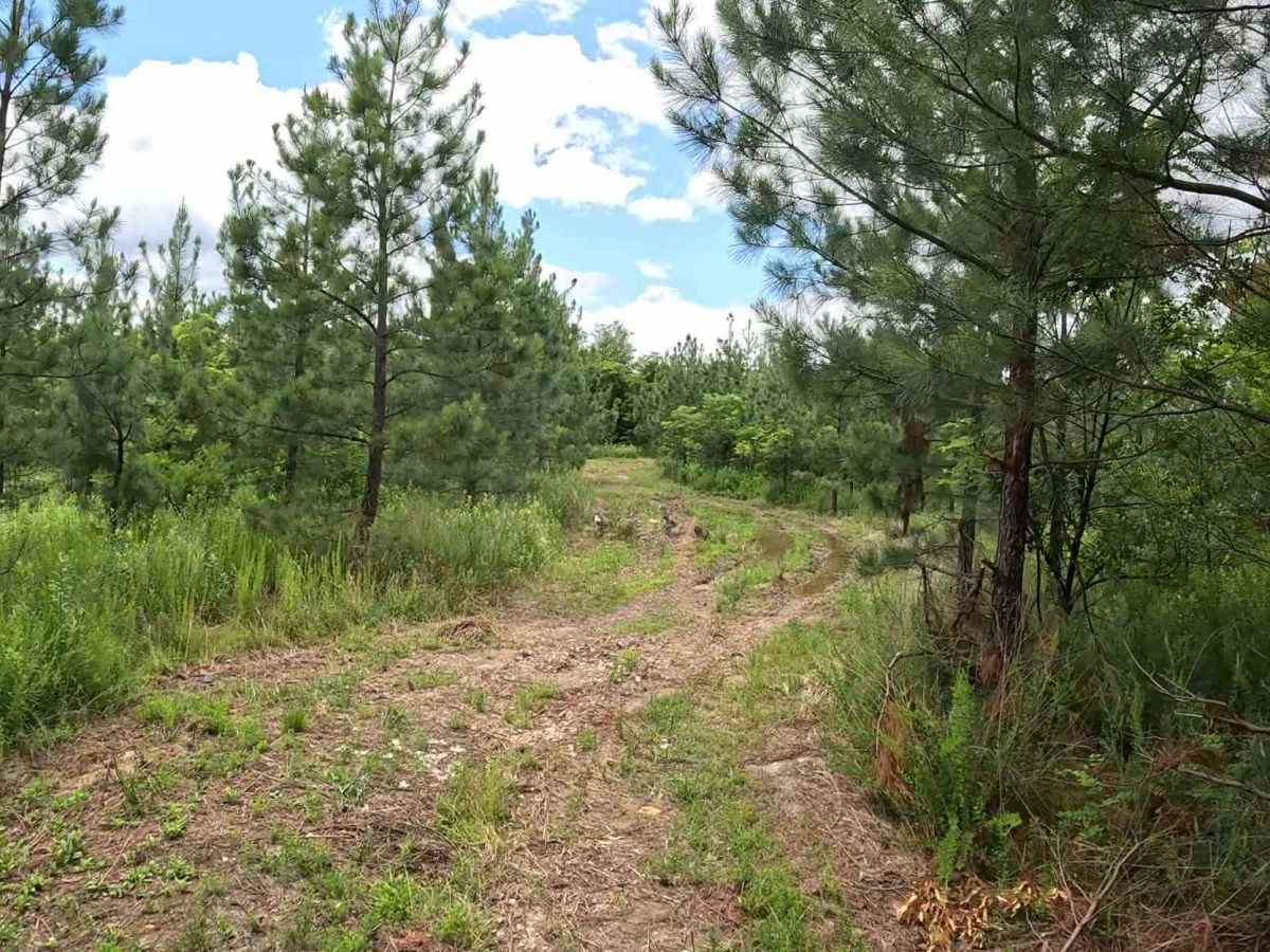
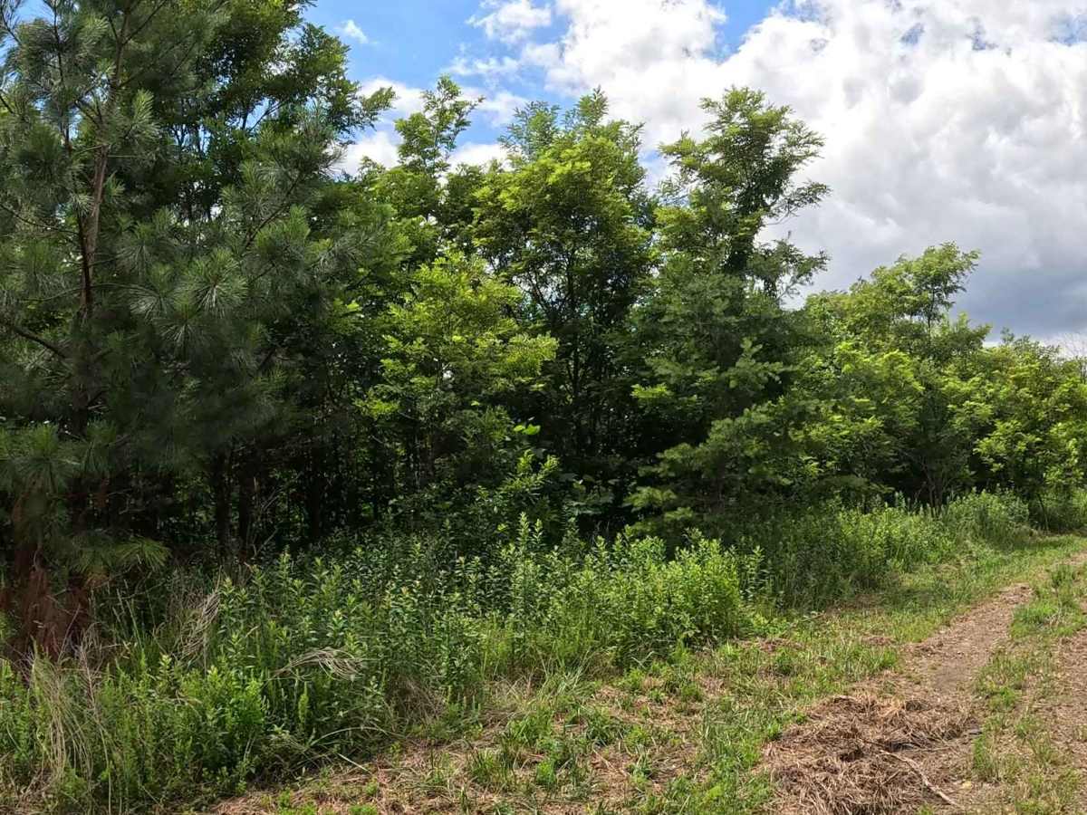
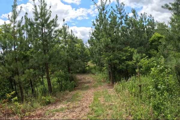
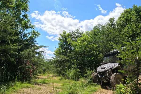
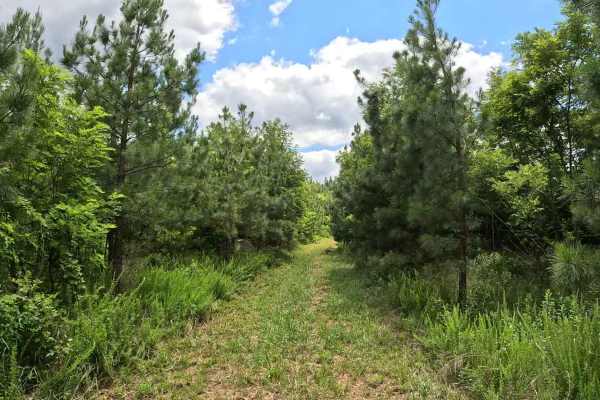
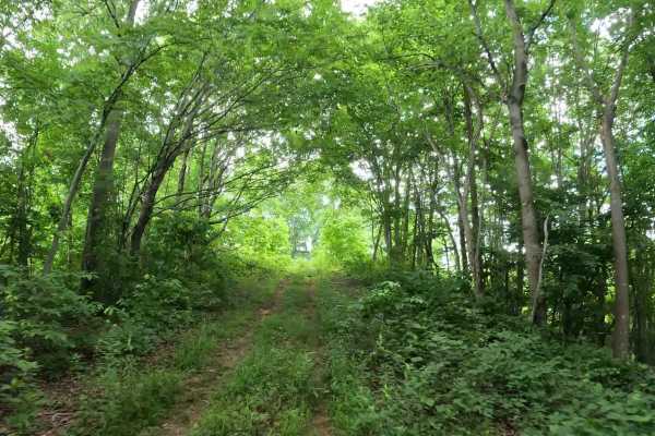
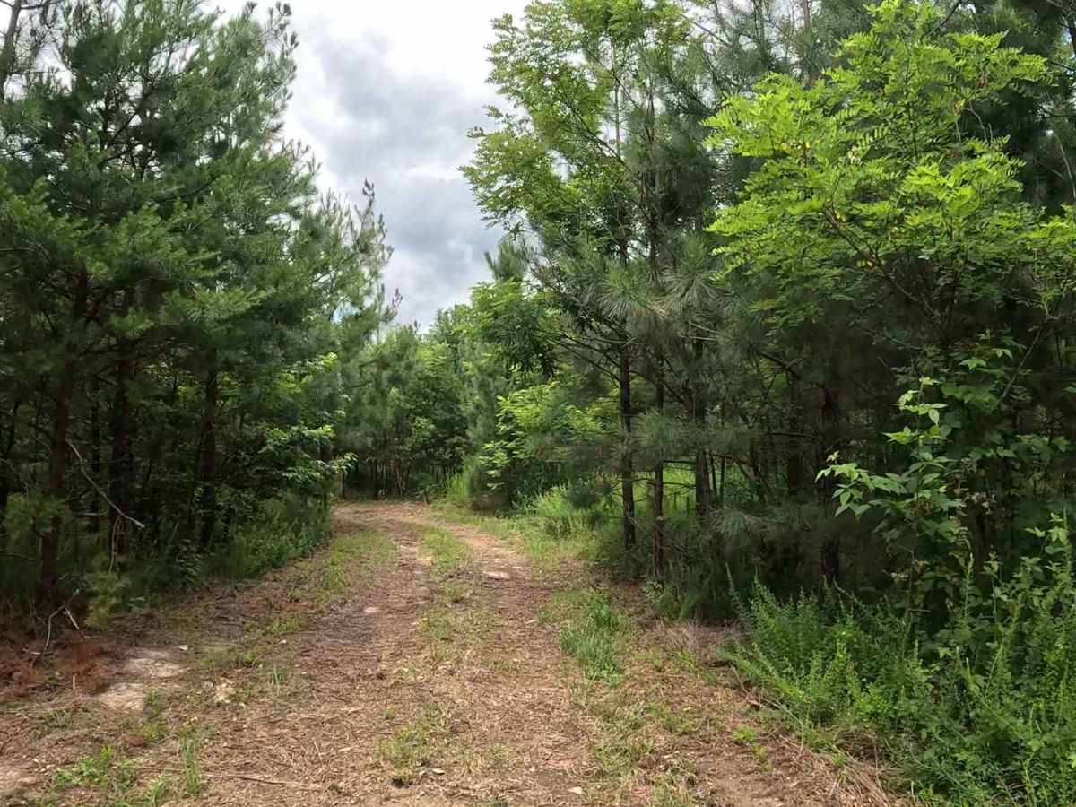
W4D is an easy connector trail accessed from W4C that continues to W2C. It provides an alternate route through the central portion of the Witcher sector. The trail consists of a mix of clay, rock, and grass with generally flat terrain. It is suitable for all vehicle types and has minimal obstacles under normal conditions. Water holes may develop during wet weather or wetter seasons. The clay surface may become slick when wet, reducing traction in low-lying areas.

Photos of W4D

Difficulty

Easy (Green). Clay, rock, and grass trail with flat terrain and minimal obstacles. Suitable for most 4WD and high-clearance 2WD vehicles. Be prepared for standing water after periods of rain, and reduce speed when approaching water holes to assess depth and trail conditions.

Technical Rating

1

W4D Trail can be accessed by the following ride types:

  • Single Track
  • 50 Inch
  • 60 Inch
  • High Clearance
  • Full Width

W4D Map

The onX Offroad Difference

onX Offroad combines trail photos, descriptions, difficulty ratings, width restrictions, seasonality, and more in a user-friendly interface. Available on all devices, with offline access and full compatibility with CarPlay and Android Auto. Discover what you're missing today!

Open Trail Map