W10

Total Miles3.6
Technical Rating
3Easy
Best TimeSpring, Summer, Fall, Winter
Trail TypeFull-Width Road
Accessible By

Open Trail Map

Trail Overview

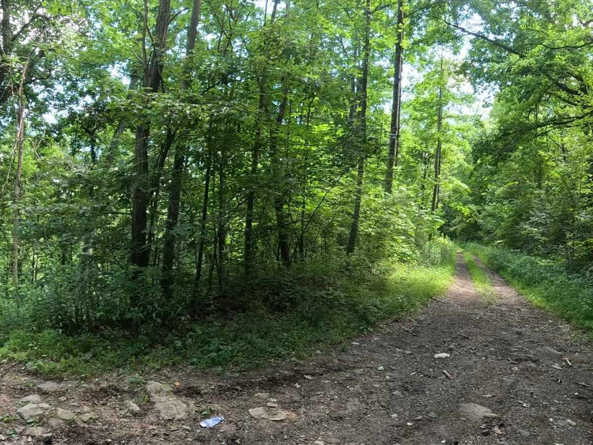
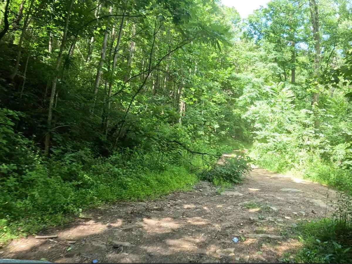
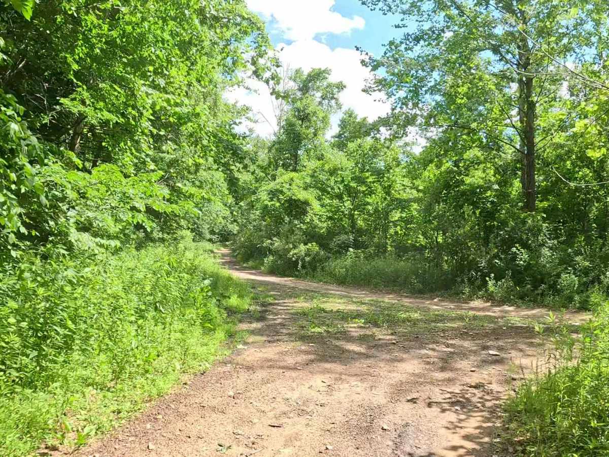
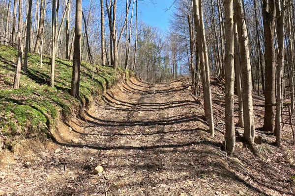
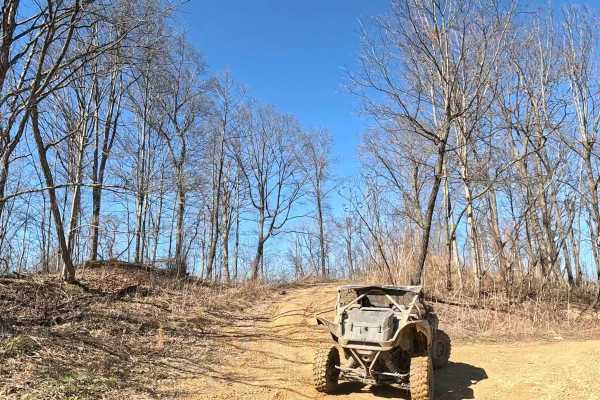
W10 is a longer connector trail linking W6 on the west side to W9 on the east, with an intermediate connection to W25. The trail serves as a primary travel route through this section of the trail system. The trail consists of a mix of hard-packed gravel and dirt with gentle grades, several sweeping turns, and a series of switchbacks. The route offers a variety of terrain while remaining easy to navigate.

Photos of W10

Difficulty

Easy gravel and dirt trail with gentle grades and minimal obstacles. Suitable for most 4WD and high-clearance 2WD vehicles. The trail is well traveled and generally remains in good condition. Loose gravel and occasional washboarding may be encountered, and dirt sections can become slick after rainfall.

Technical Rating

3

W10 Trail can be accessed by the following ride types:

  • Single Track
  • 50 Inch
  • 60 Inch
  • High Clearance
  • Full Width

W10 Map

The onX Offroad Difference

onX Offroad combines trail photos, descriptions, difficulty ratings, width restrictions, seasonality, and more in a user-friendly interface. Available on all devices, with offline access and full compatibility with CarPlay and Android Auto. Discover what you're missing today!

Open Trail Map