Q69

Total Miles1
Technical Rating
6Moderate
Best TimeSpring, Summer, Winter, Fall
Trail TypeFull-Width Road
Accessible By
Open Trail Map

Trail Overview

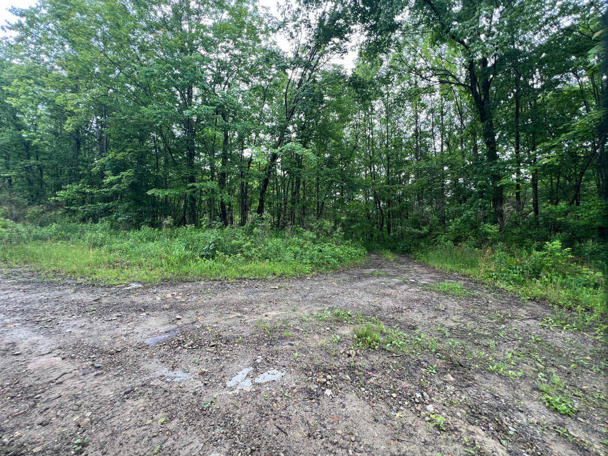
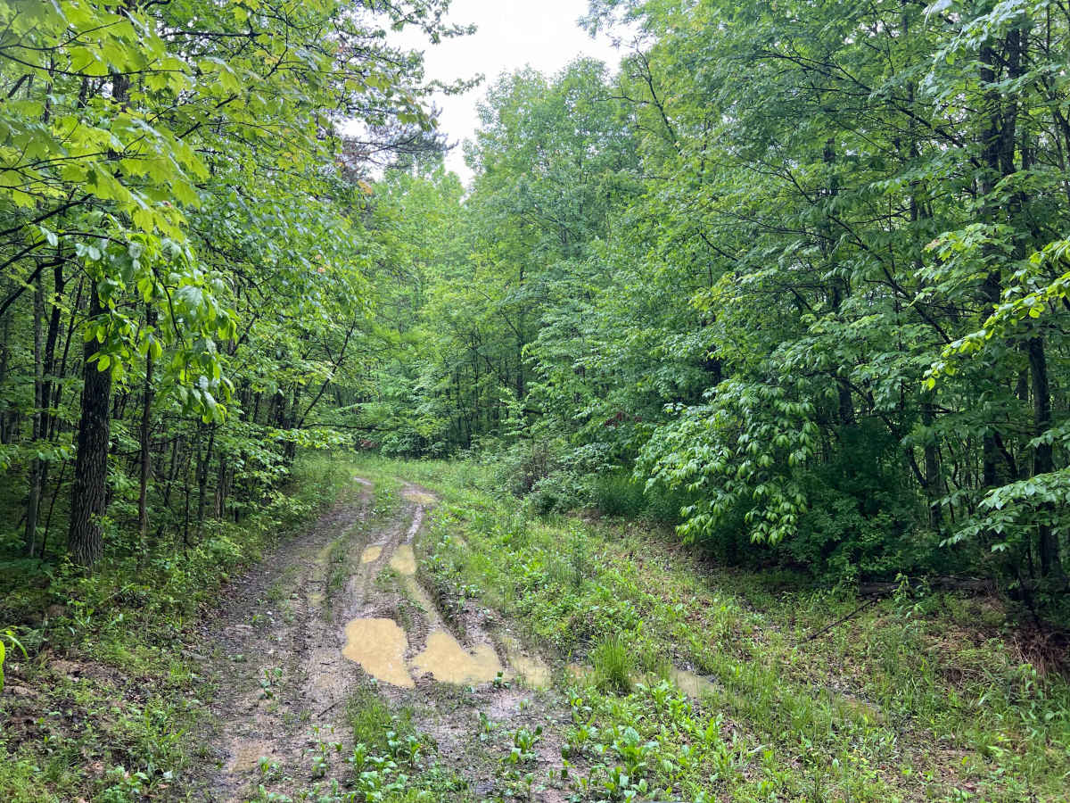
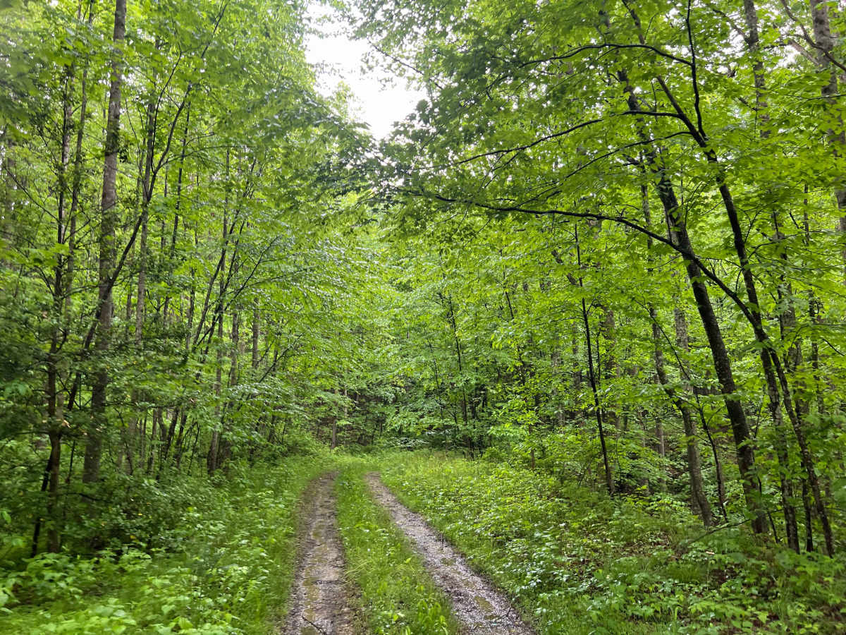
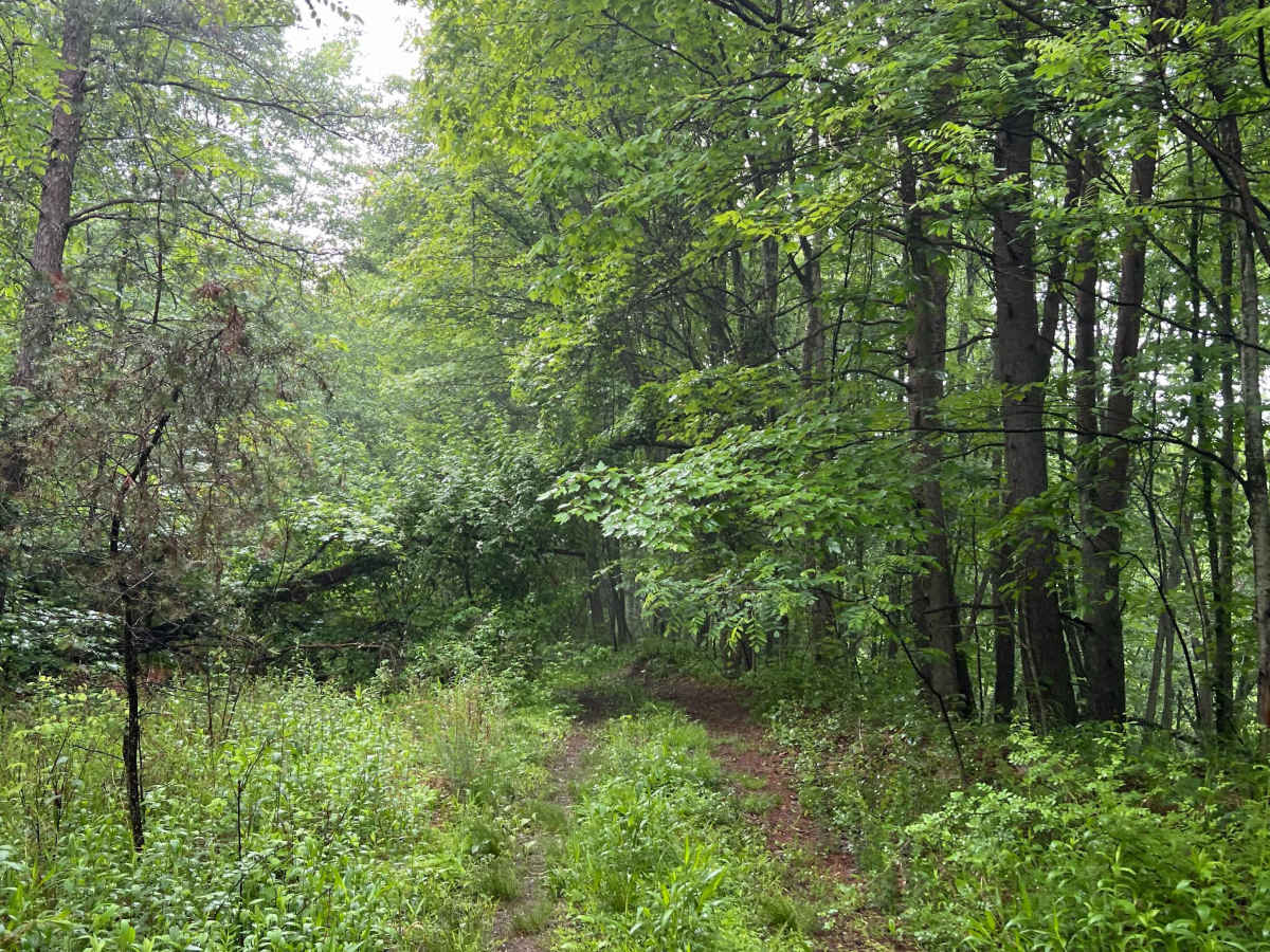
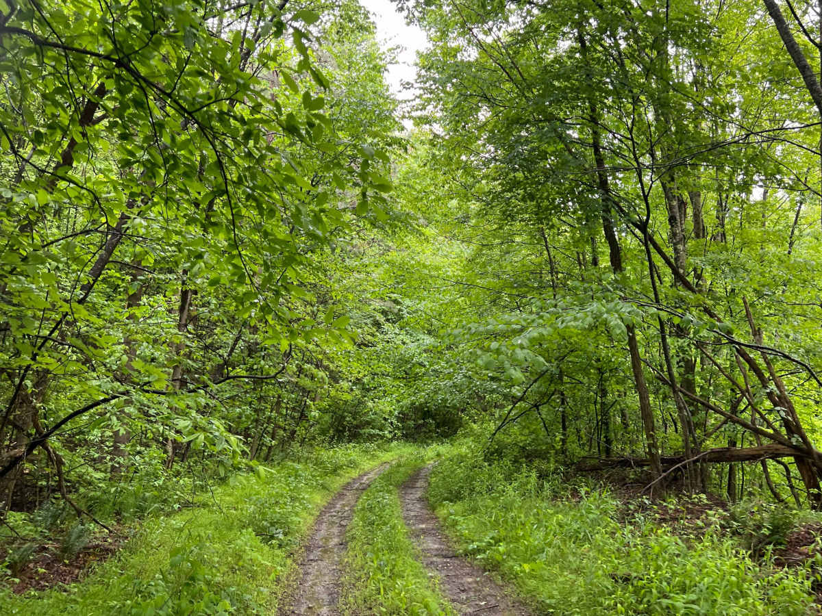
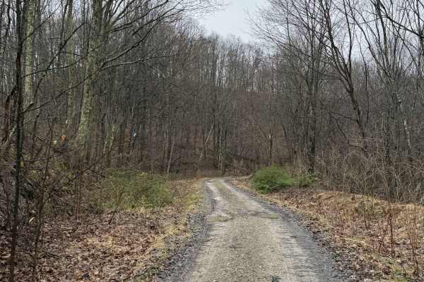
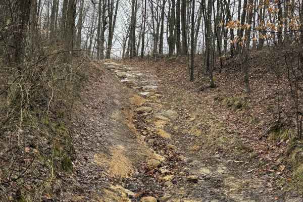
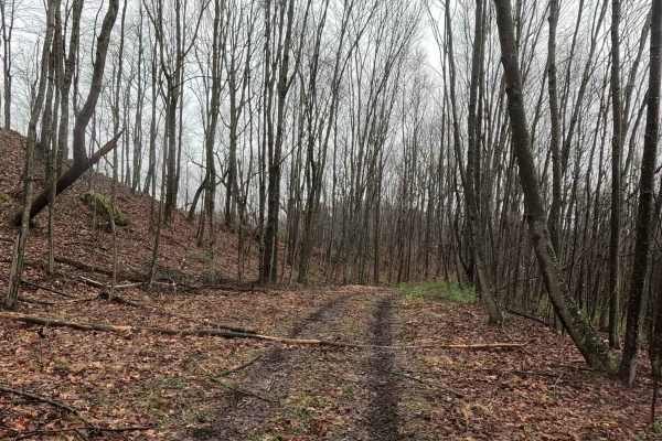
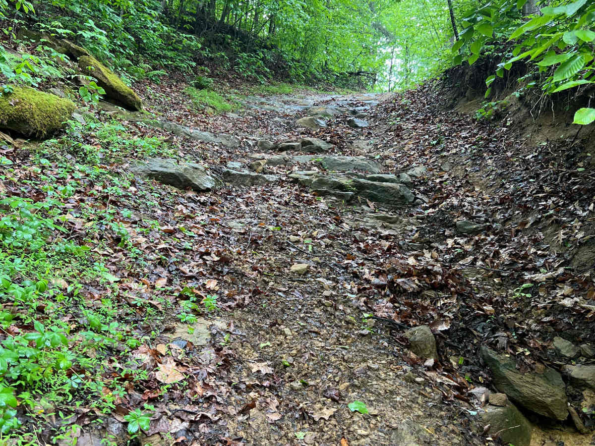
Quincy Trail 69 is a 1-mile-long intermediate-difficulty trail that connects Q7 and Q67. Towards the west end is the most difficult obstacle--a steep, rocky hill with deep ruts and high walls for which there is no bypass. Along the way are multiple mud holes, minor ruts, and narrow sections of trail. The majority of the trail is deeply forested and has tight vegetation on each side. Roughly at the halfway point is Q70, an easy trail connecting back to Q8.

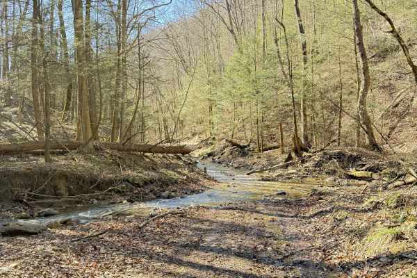
Photos of Q69

Difficulty

The primary obstacle is a steep, narrow wash with loose rocks, roots, ruts, and high walls. There are also multiple mud holes and minor ruts throughout.

Technical Rating

6

Q69 Trail can be accessed by the following ride types:

  • Single Track
  • 50 Inch
  • 60 Inch
  • High Clearance
  • Full Width

Q69 Map

The onX Offroad Difference

onX Offroad combines trail photos, descriptions, difficulty ratings, width restrictions, seasonality, and more in a user-friendly interface. Available on all devices, with offline access and full compatibility with CarPlay and Android Auto. Discover what you're missing today!

Open Trail Map