Q59

Total Miles0.6
Technical Rating
4Moderate
Best TimeSpring, Summer, Winter, Fall
Trail TypeFull-Width Road
Accessible By
Open Trail Map

Trail Overview

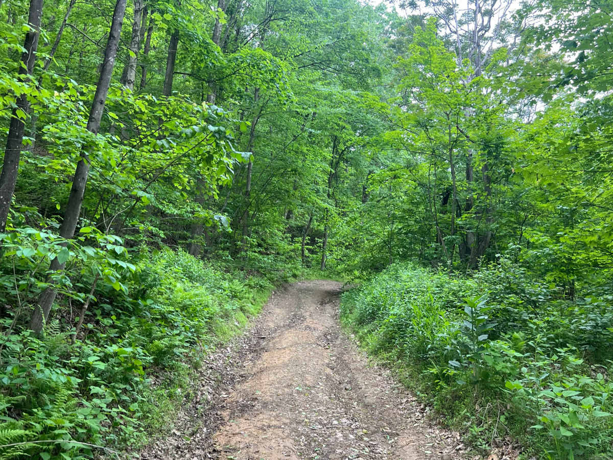
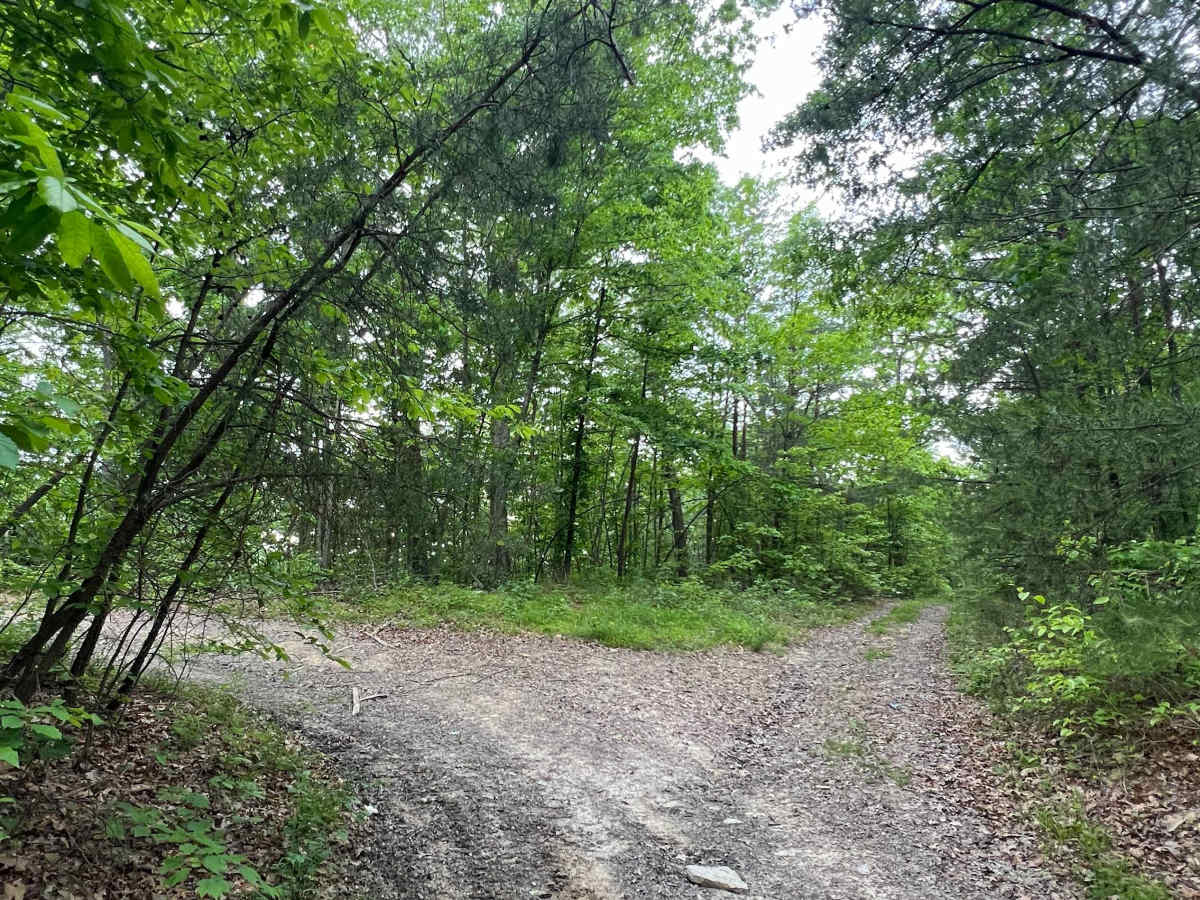
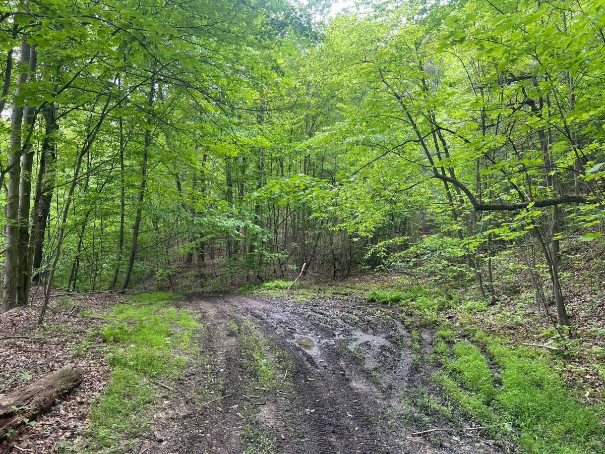
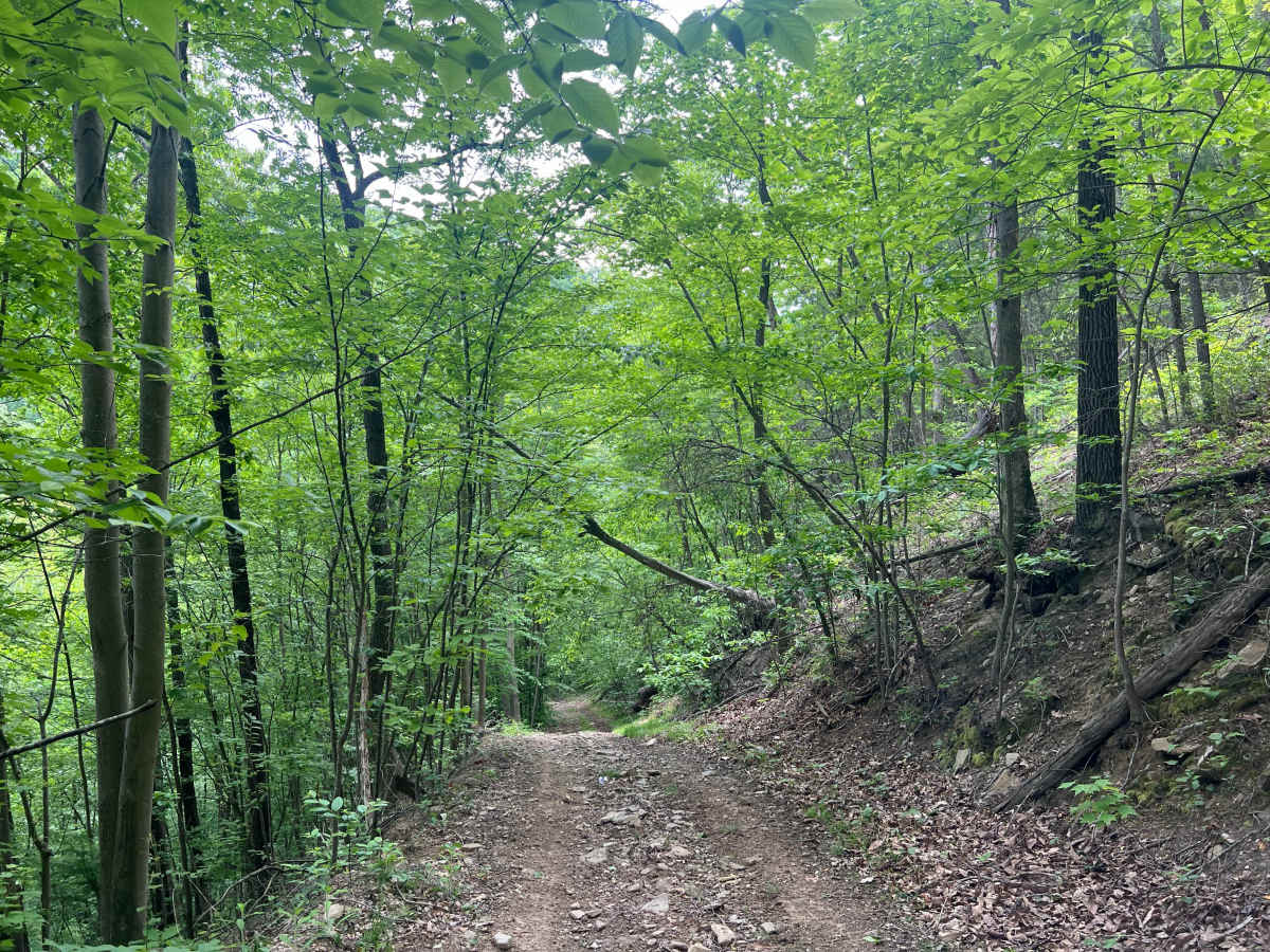
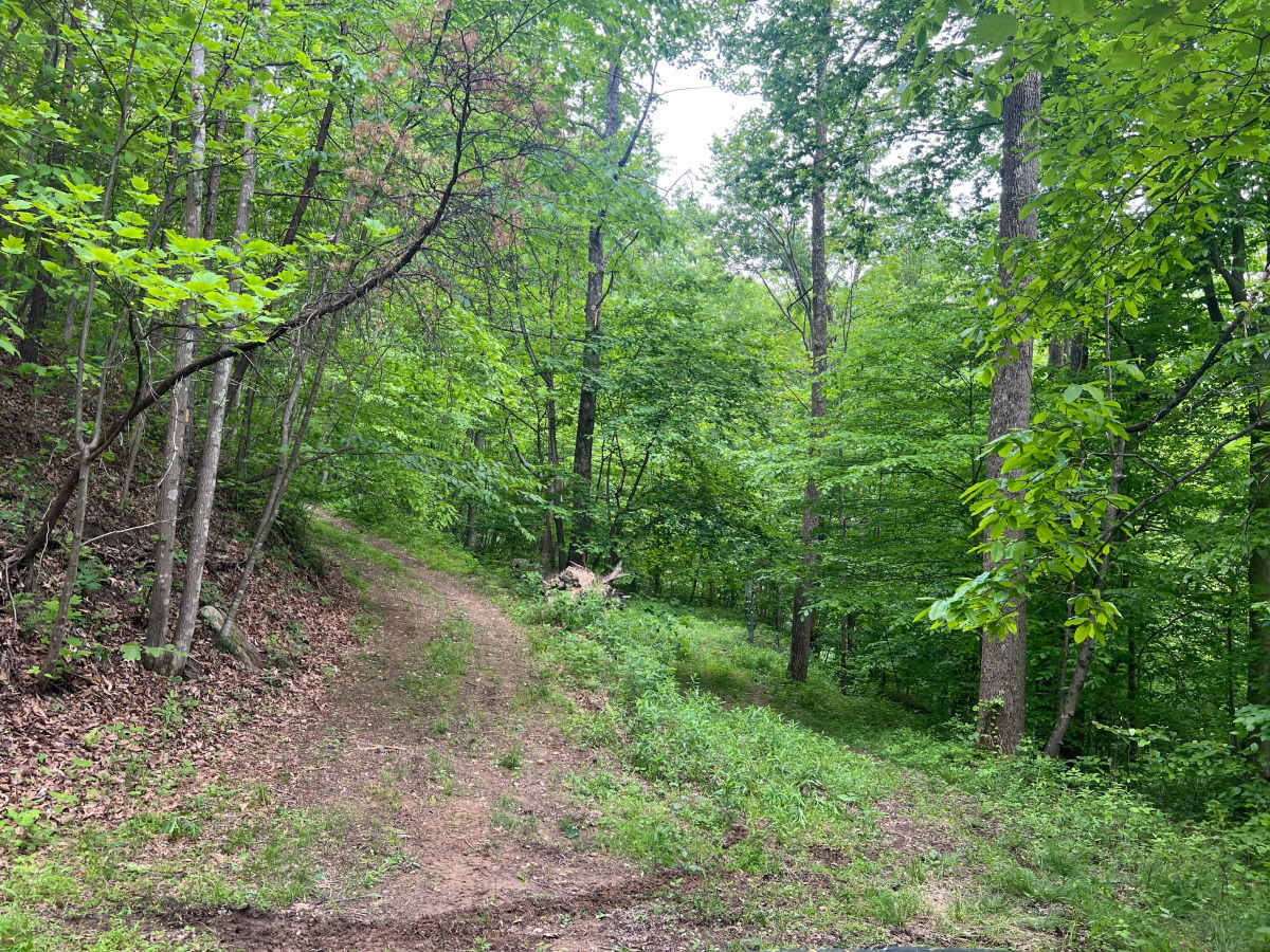
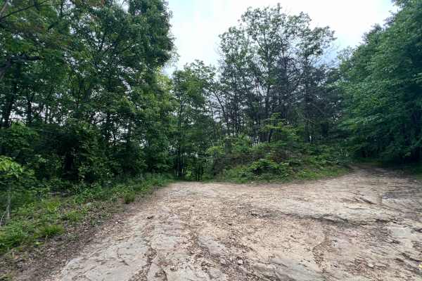
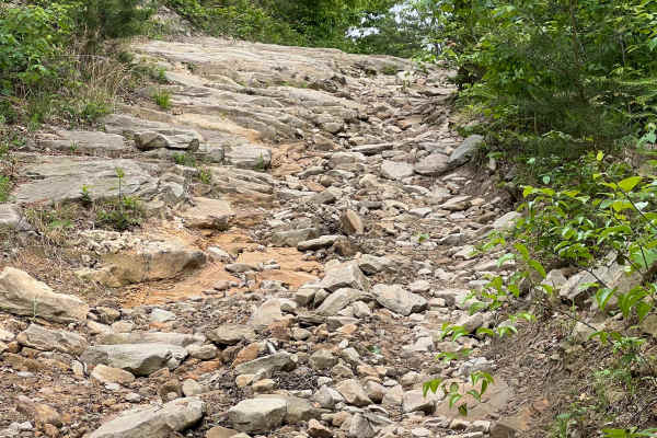
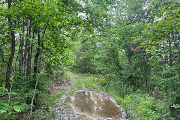
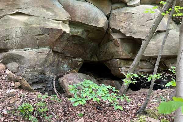
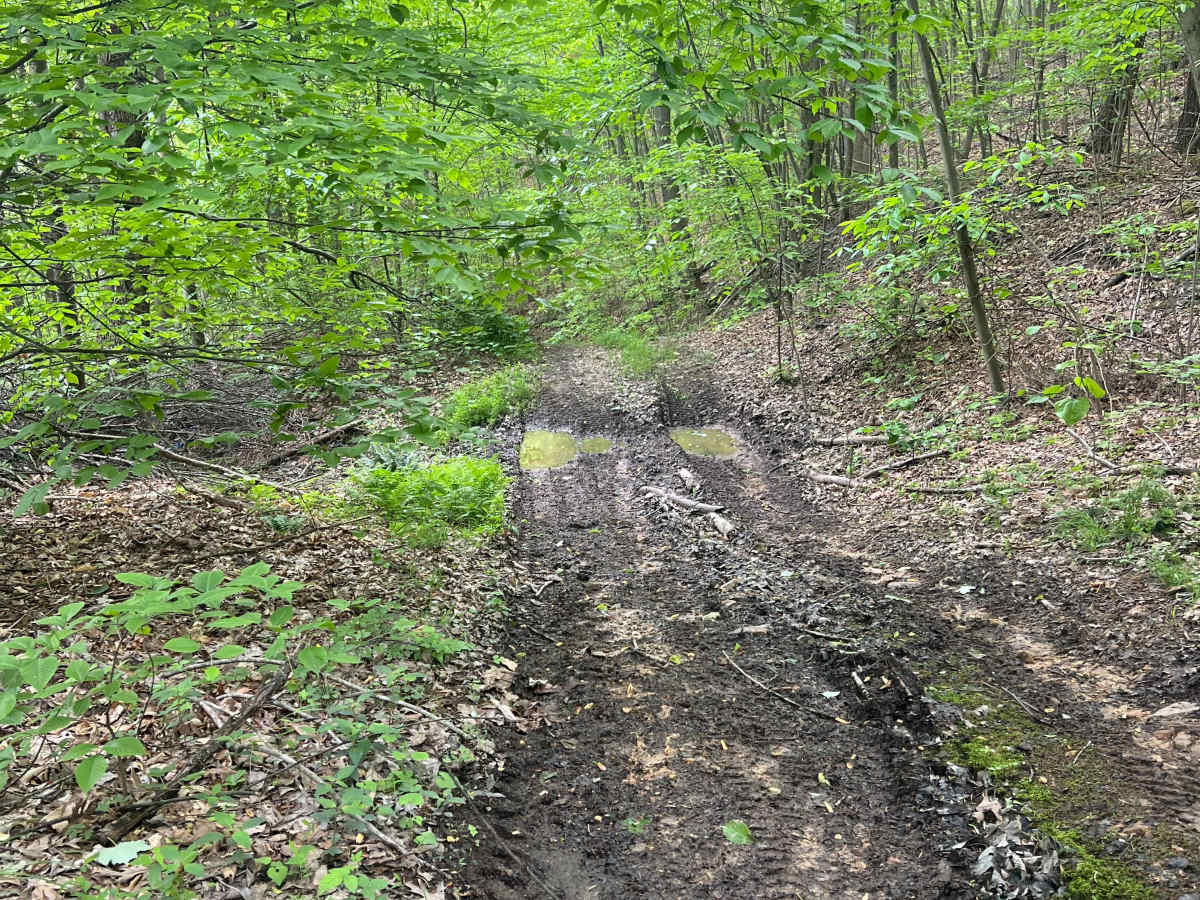
Quincy Trail 59 is a dead-end trail that is a long, steep descent to a gas well. The trail surface is loose rocks and dirt, which may be very difficult to climb back to the top, especially in adverse conditions such as after heavy rains or when snow or ice are present. There are two switchback turns, with the one at the bottom into the well site being very tight. The site is not very spacious, and the terrain surrounding it is quite steep also.

Photos of Q59

Difficulty

The majority of the trail is a long, steep hill with loose rocks and soft dirt. There are two tight switchback turns; the one at the bottom is very tight, and there is minimal room to turn around at the well site.

Technical Rating

4

Q59 Trail can be accessed by the following ride types:

  • Single Track
  • 50 Inch
  • 60 Inch
  • High Clearance
  • Full Width

Q59 Map

The onX Offroad Difference

onX Offroad combines trail photos, descriptions, difficulty ratings, width restrictions, seasonality, and more in a user-friendly interface. Available on all devices, with offline access and full compatibility with CarPlay and Android Auto. Discover what you're missing today!

Open Trail Map