Q55

Total Miles0.7
Technical Rating
2Easy
Best TimeSpring, Summer, Fall, Winter
Trail TypeFull-Width Road
Accessible By
Open Trail Map

Trail Overview

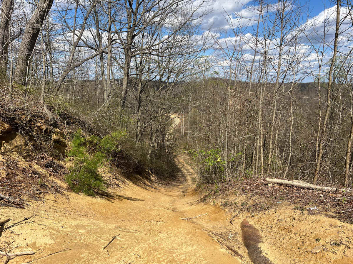
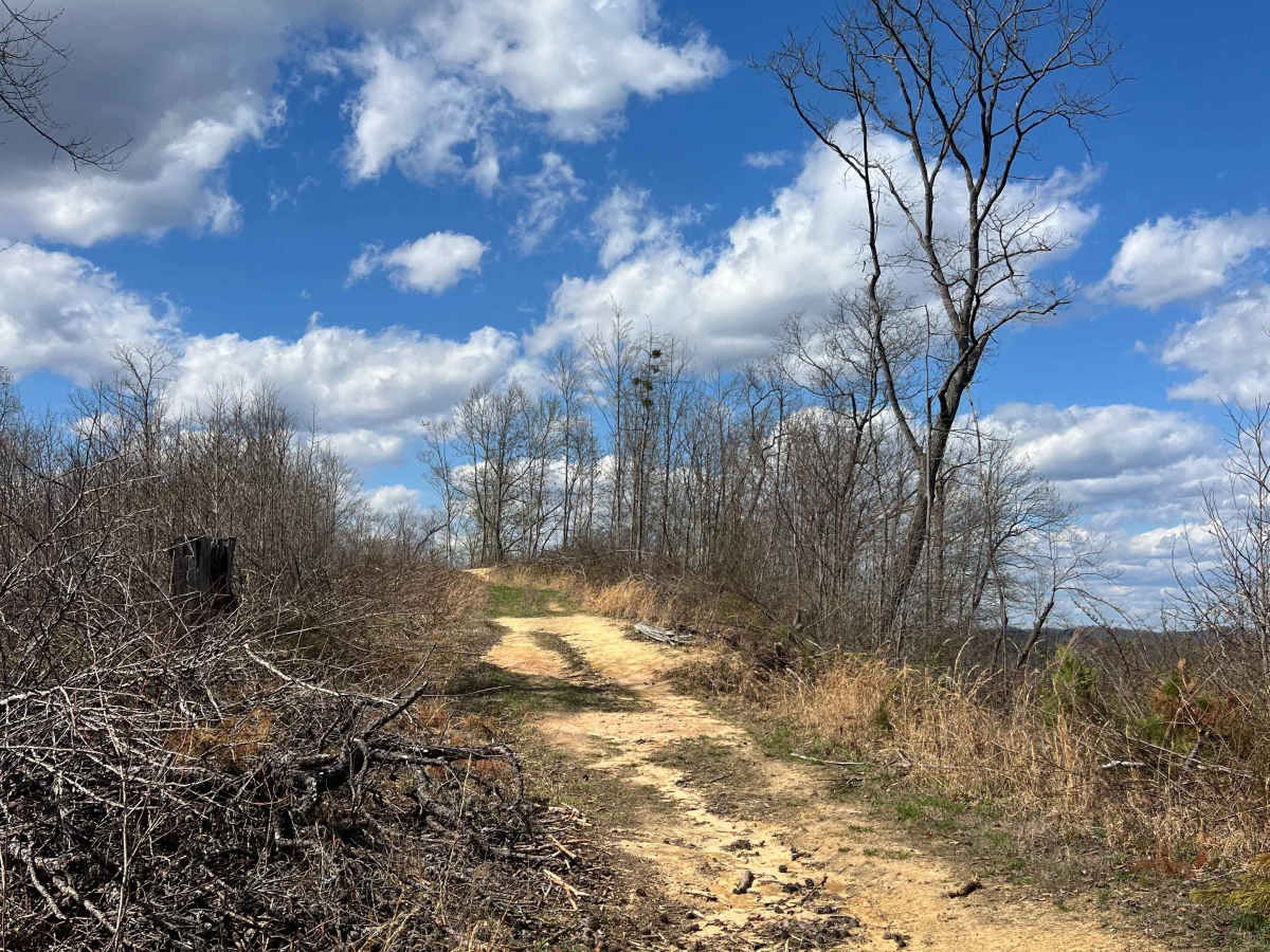
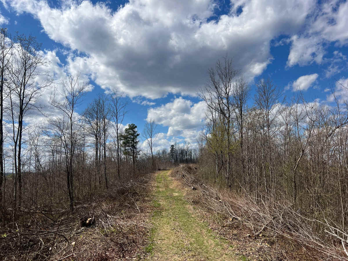
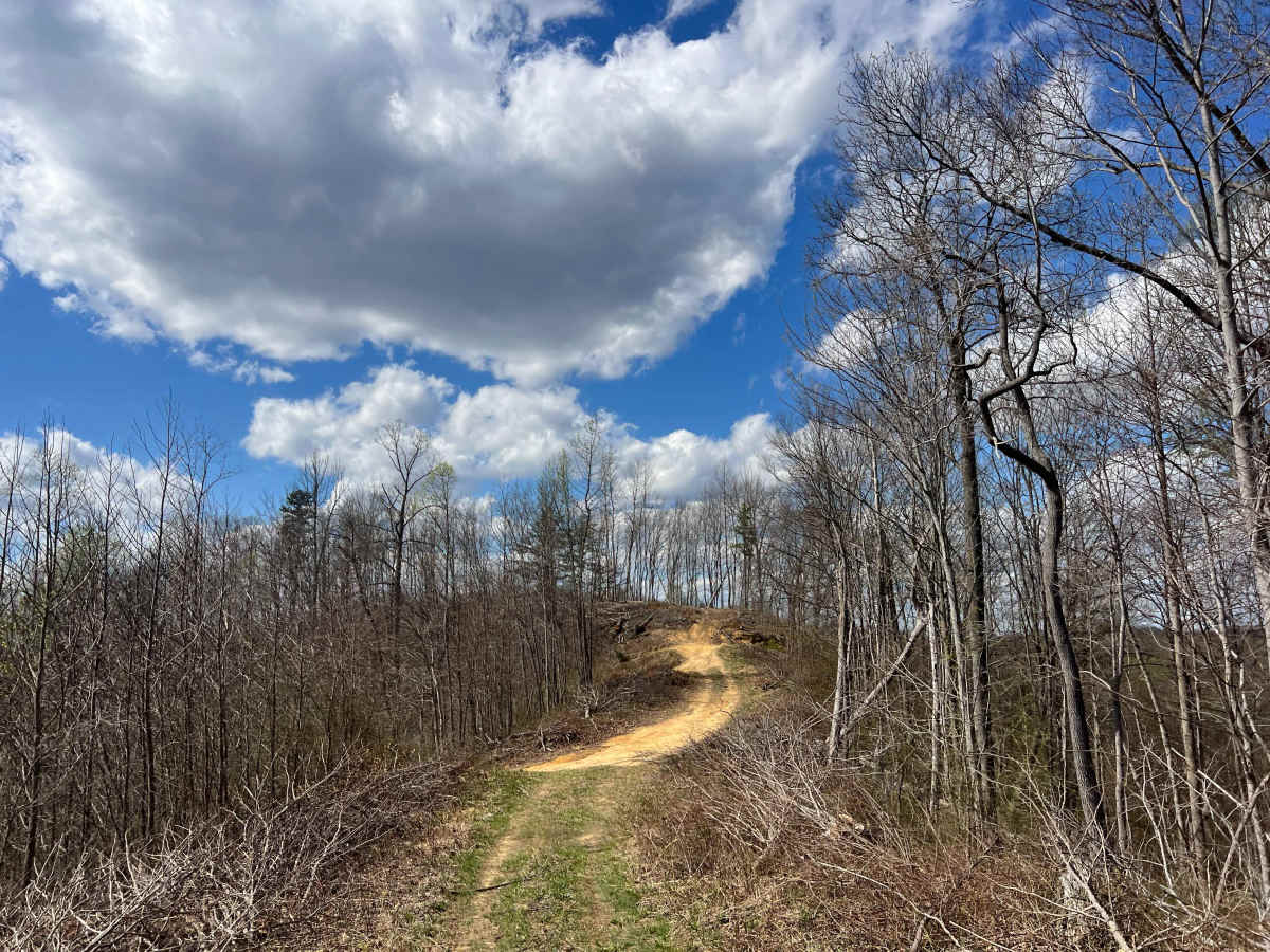
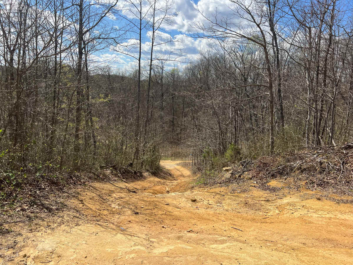
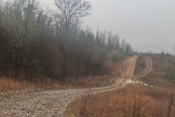
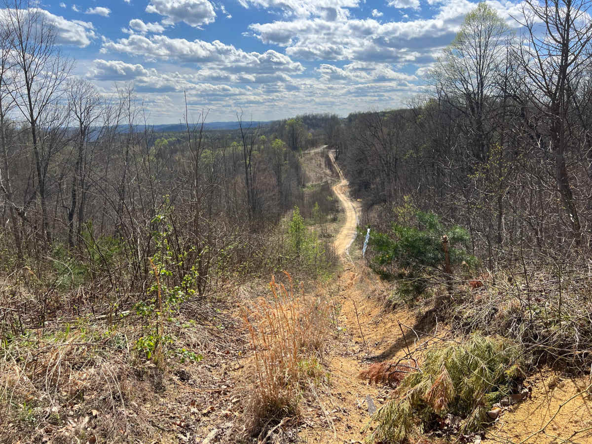
Quincy Trail 55 connects Q6, Q39, and Q56 as it traverses the property in a generally north-south direction. Towards the northern end, Q55 intersects Q39 before ascending to the peak elevation along the track. Heading south beyond that crossing, the next intersection is with Q56, which can be used to connect back to Q1. A few hundred yards further south, the track ends at a property boundary where there is minimal room to turn around. Q55 is relatively narrow, with multiple opportunities to safely pass along the route. There are minimal obstacles; however, in snow or periods where there has been heavy rain, the track may become eroded or muddy.

Photos of Q55

Difficulty

The majority of this trail is relatively narrow, with several areas prone to wash out and erosion

Technical Rating

2

Q55 Trail can be accessed by the following ride types:

  • Single Track
  • 50 Inch
  • 60 Inch
  • High Clearance
  • Full Width

Q55 Map

The onX Offroad Difference

onX Offroad combines trail photos, descriptions, difficulty ratings, width restrictions, seasonality, and more in a user-friendly interface. Available on all devices, with offline access and full compatibility with CarPlay and Android Auto. Discover what you're missing today!

Open Trail Map