Q47A

Total Miles0.1
Technical Rating
1Easy
Best TimeSummer, Spring, Fall, Winter
Trail TypeFull-Width Road
Accessible By
Open Trail Map

Trail Overview

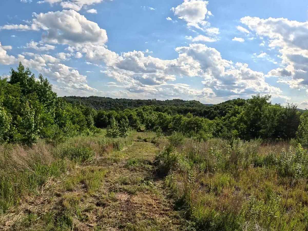
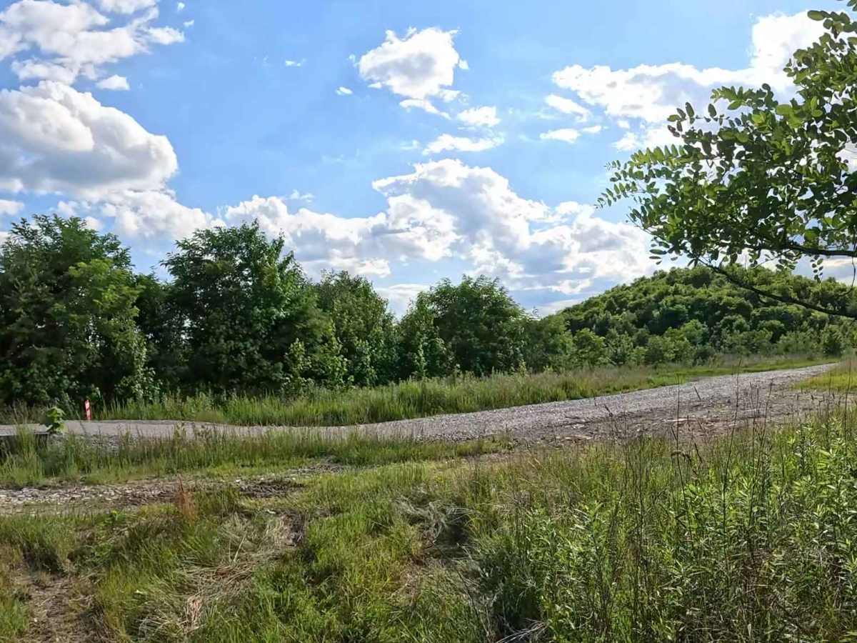
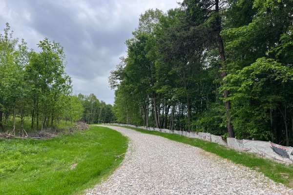
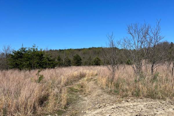
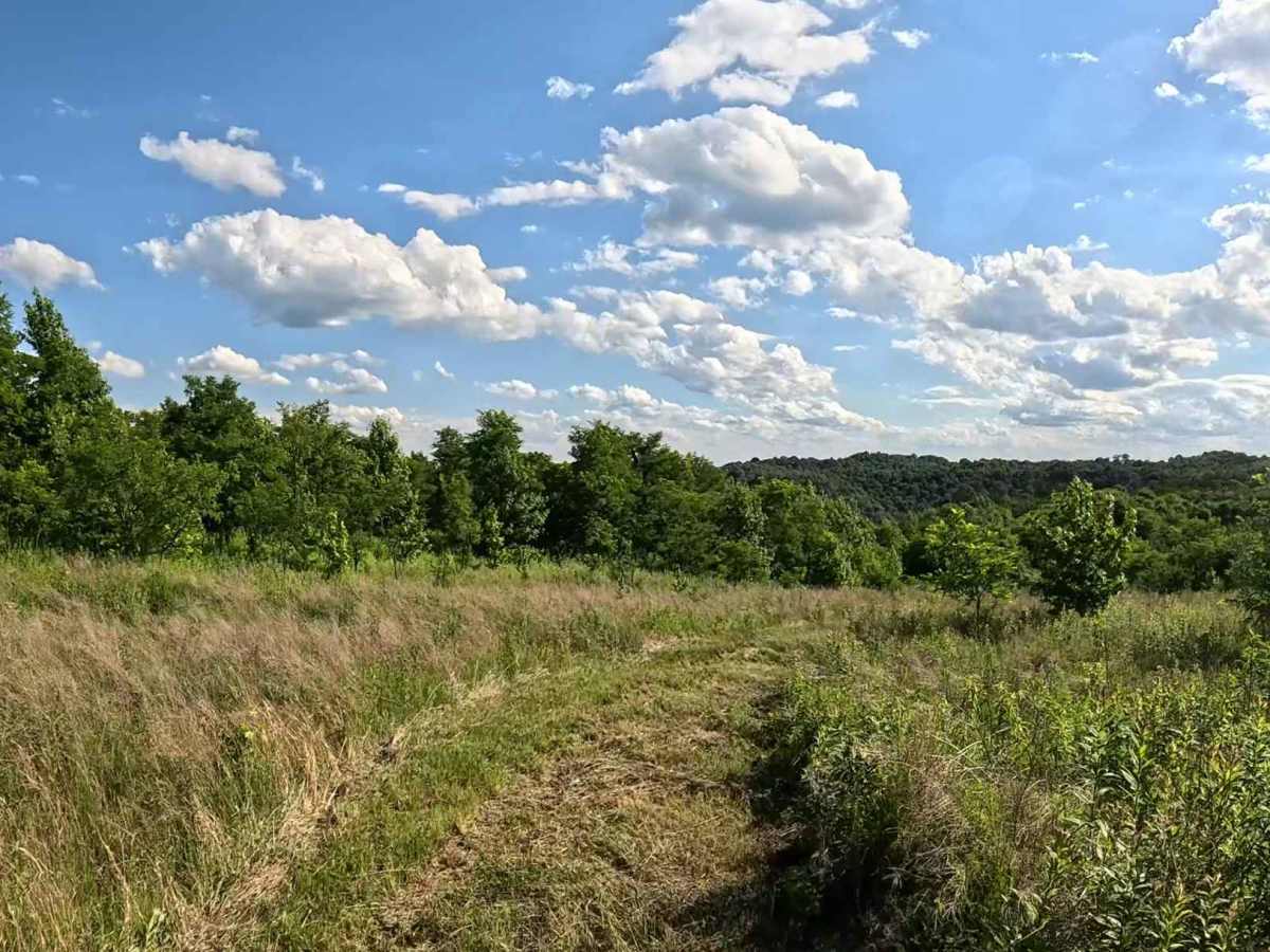
Q47A is an easy connector trail linking Q50 to the south with Q47 to the north. Running parallel to the intermediate-rated Q46, it provides an alternate route for riders who prefer to bypass the more technical sections of Q46. The trail consists of a grassy surface with gentle grades and minimal obstacles. It follows a straightforward alignment, making it a practical alternative between Q50 and Q47.

Photos of Q47A

Difficulty

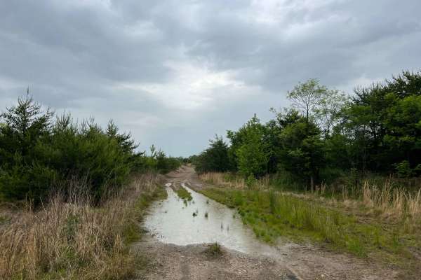
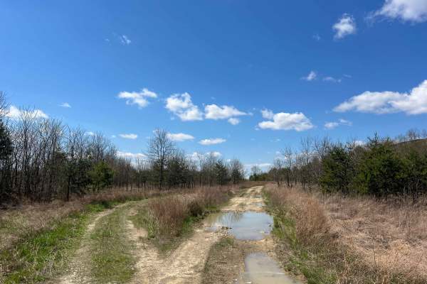
Easy (Green). Grass trail with gentle grades and minimal obstacles. Suitable for most 4WD and high-clearance 2WD vehicles. The grassy surface generally provides good traction in dry conditions but may become slick after rainfall. Seasonal vegetation may narrow portions of the trail during the growing season.

Technical Rating

1

Q47A Trail can be accessed by the following ride types:

  • Single Track
  • 50 Inch
  • 60 Inch
  • High Clearance
  • Full Width

Q47A Map

The onX Offroad Difference

onX Offroad combines trail photos, descriptions, difficulty ratings, width restrictions, seasonality, and more in a user-friendly interface. Available on all devices, with offline access and full compatibility with CarPlay and Android Auto. Discover what you're missing today!

Open Trail Map