Q46A

Total Miles0.1
Technical Rating
1Easy
Best TimeSpring, Summer, Winter, Fall
Trail TypeFull-Width Road
Accessible By
Open Trail Map

Trail Overview

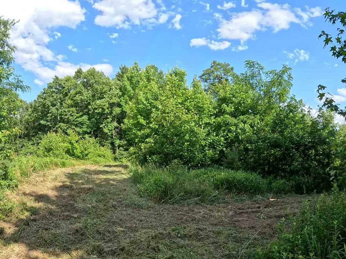
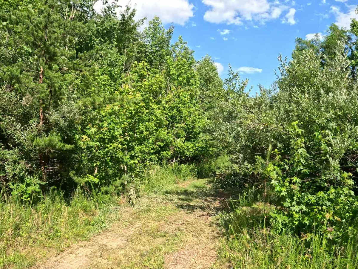
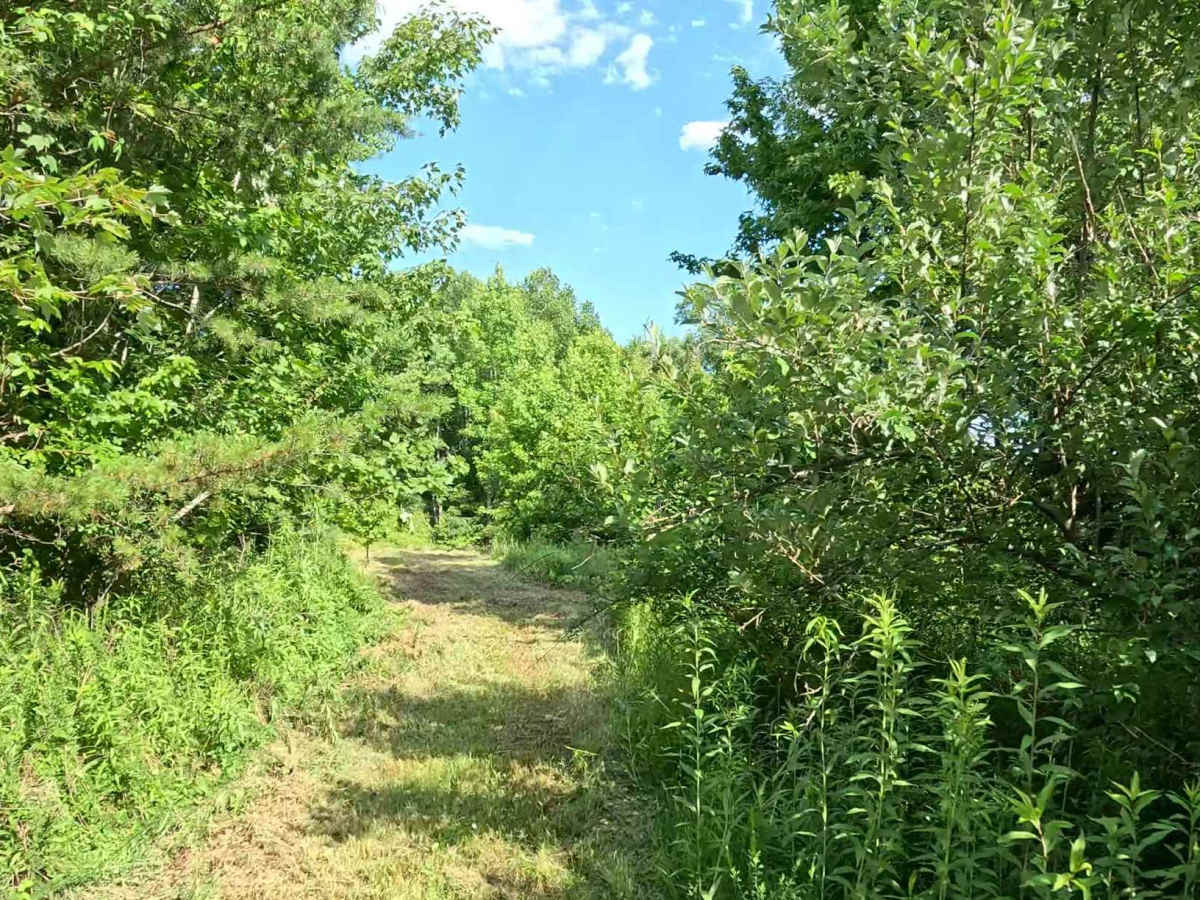
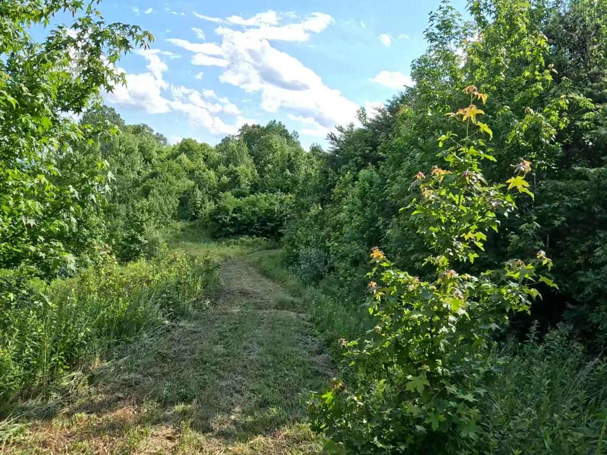
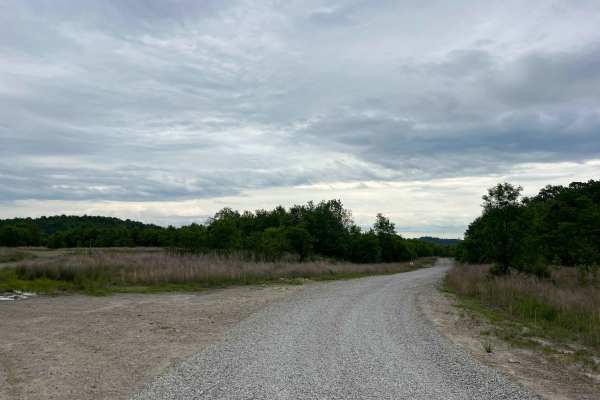
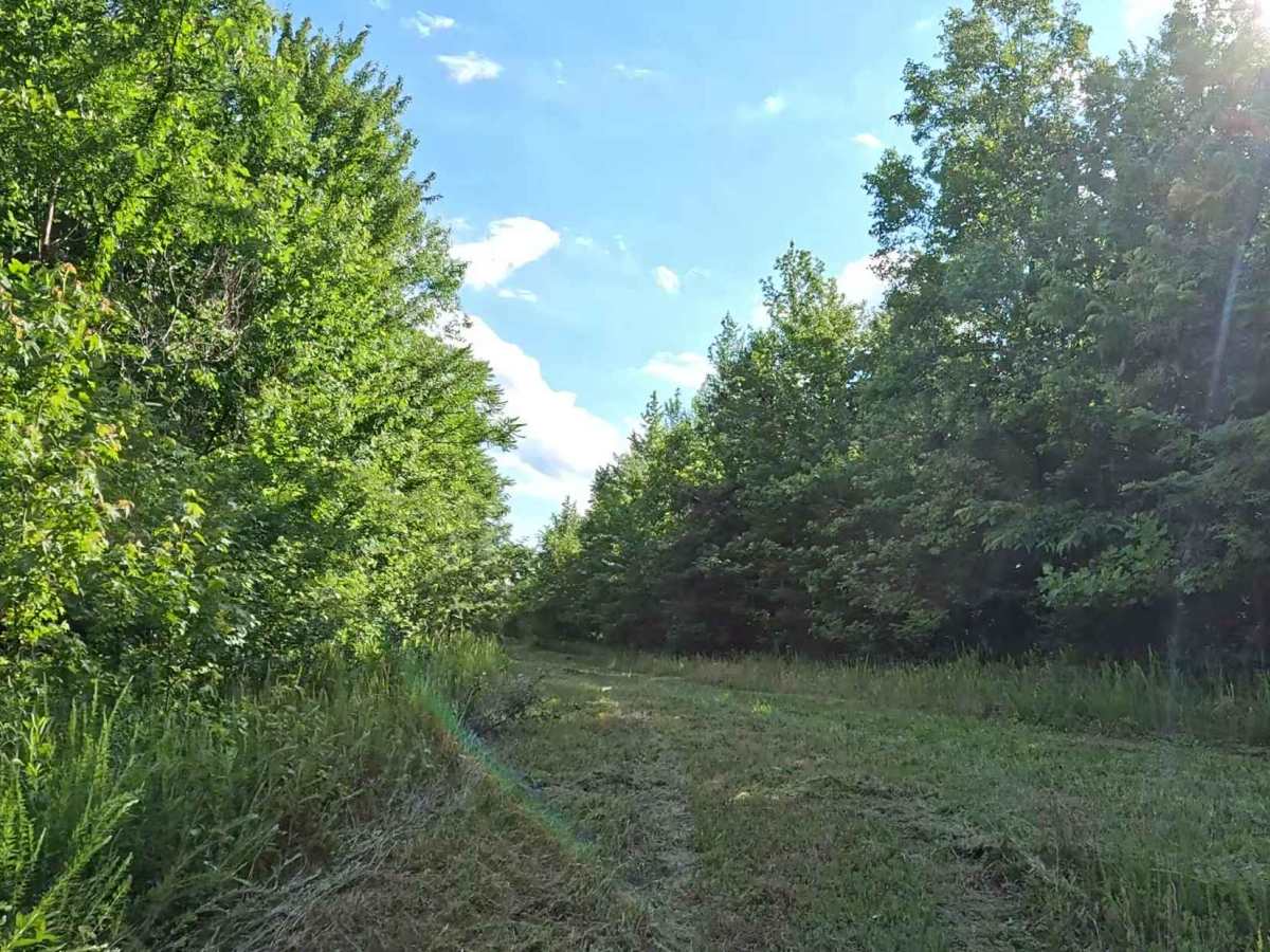
Q46A is an easy bypass trail branching from the moderate-rated Q46. It provides an alternate route around a portion of Q46 while offering access to a powerline overlook and a dispersed camping area before reconnecting with the main trail. The trail consists primarily of a grassy surface with gentle grades and minimal obstacles. It leads to an open powerline corridor overlooking the valley and provides access to a dispersed camping area before merging back onto Q46.

Photos of Q46A

Difficulty

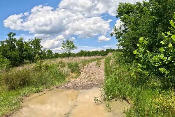
Easy (Green). Grass trail with gentle grades and minimal obstacles. Suitable for most 4WD and high-clearance 2WD vehicles. The grassy surface may become slick during wet weather, reducing traction. Seasonal vegetation may also encroach along portions of the trail.

Technical Rating

1

Q46A Trail can be accessed by the following ride types:

  • Single Track
  • 50 Inch
  • 60 Inch
  • High Clearance
  • Full Width

Q46A Map

The onX Offroad Difference

onX Offroad combines trail photos, descriptions, difficulty ratings, width restrictions, seasonality, and more in a user-friendly interface. Available on all devices, with offline access and full compatibility with CarPlay and Android Auto. Discover what you're missing today!

Open Trail Map