Trail Overview
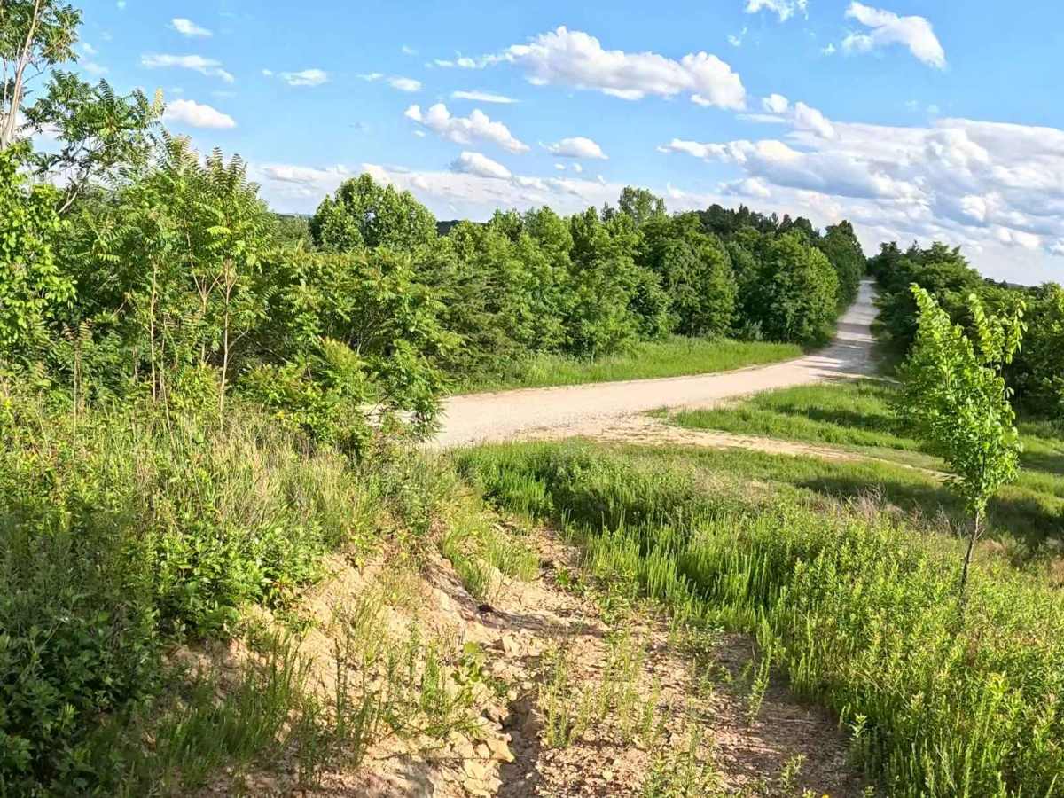
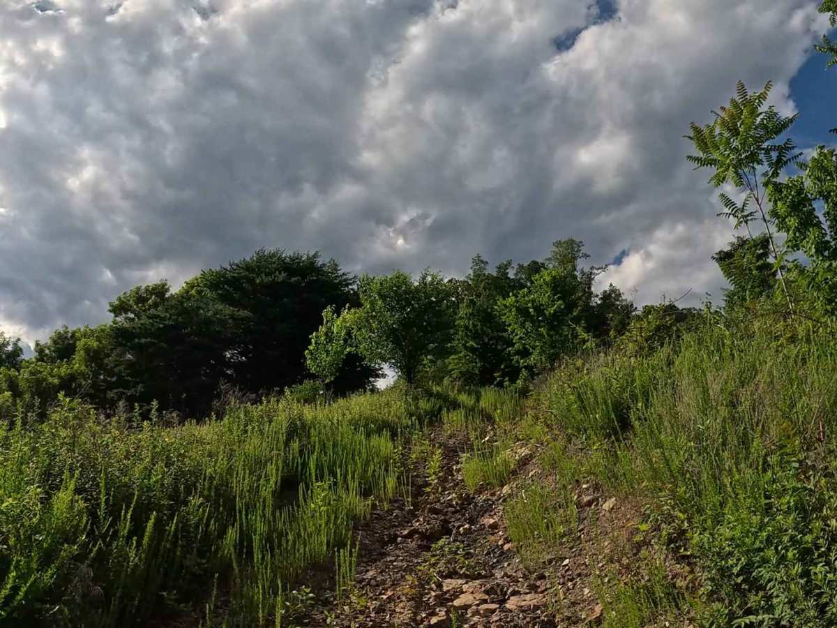
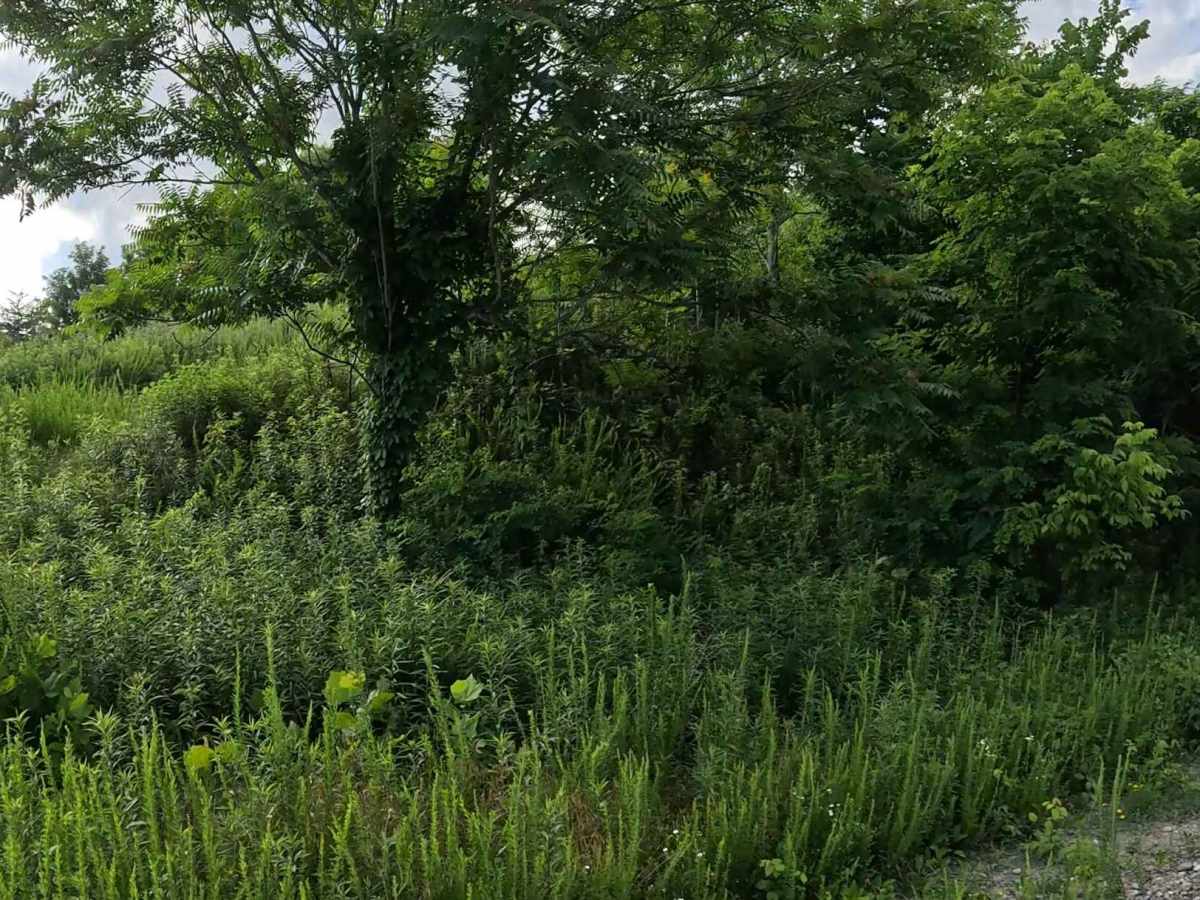
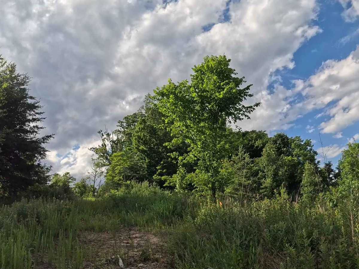
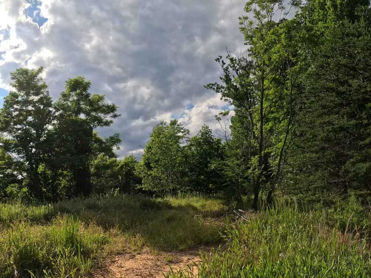
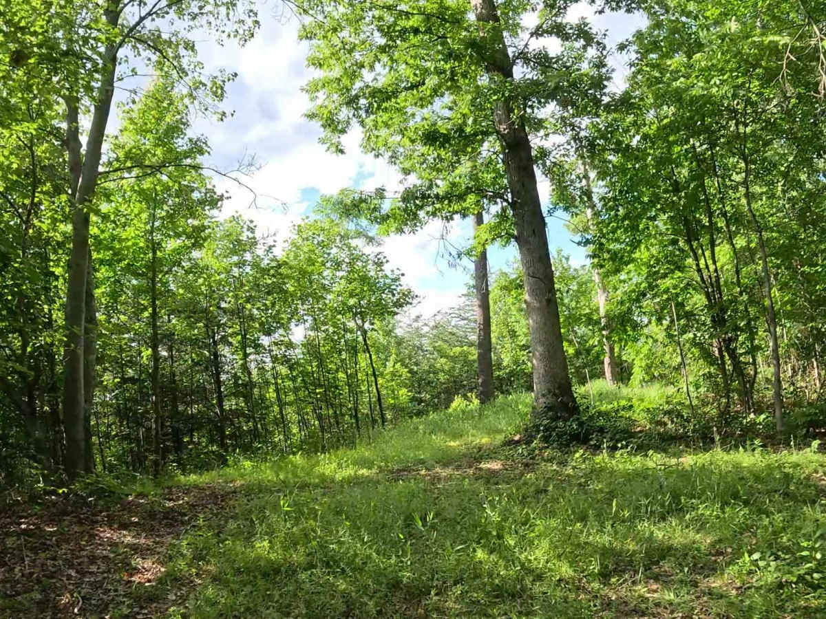
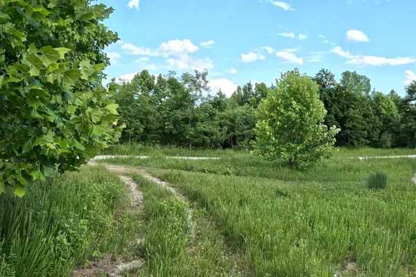
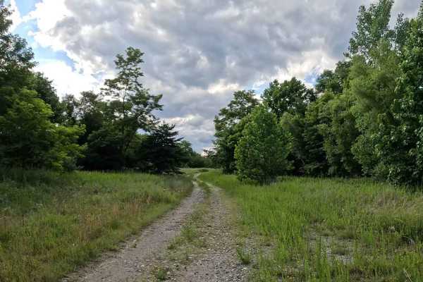
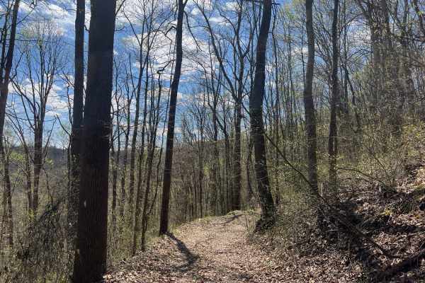
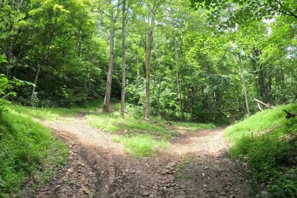
Q26A is a moderate connector trail branching from Q1. The trail provides access to the upper portion of the Quincy trail system via a short hill climb and serves as an alternate trail to mix up the terrain. The trail consists of a hard-packed dirt and loose gravel surface with a moderate hill climb when traveling from Q1. The grade is steady, with loose gravel requiring careful throttle and braking control during both ascent and descent.
Difficulty
Moderate (Blue). Mixed dirt and gravel trail with a moderate hill climb and loose surfaces. Suitable for most 4WD and high-clearance vehicles. Requires basic line choice, throttle control, and attention to terrain. Loose gravel on the hill may reduce traction, particularly after rainfall. Riders descending toward Q1 should use caution, as the trail merges with one of the park's primary travel corridors.