Q16A

Total Miles0.1
Technical Rating
7Difficult
Best TimeSpring, Summer, Fall, Winter
Trail TypeFull-Width Road
Accessible By
Open Trail Map

Trail Overview

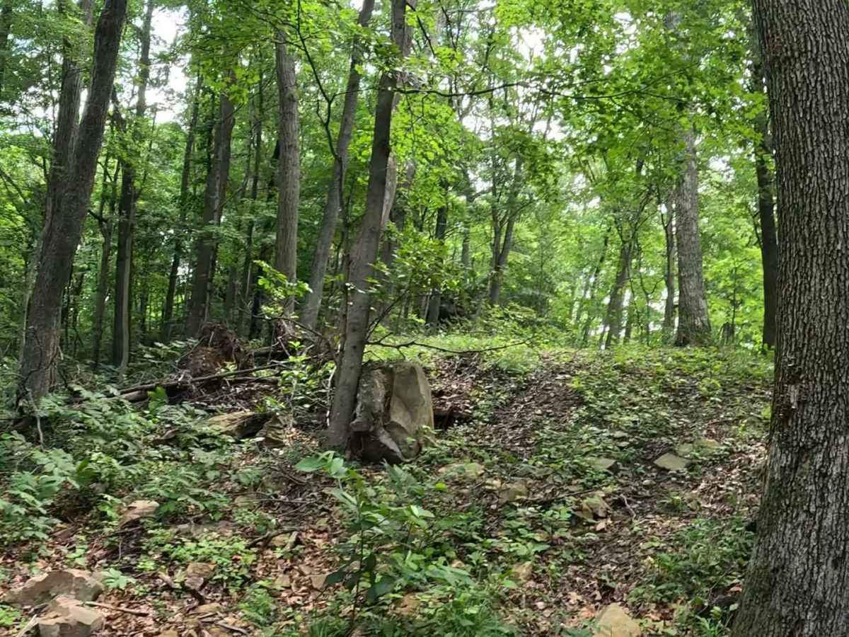
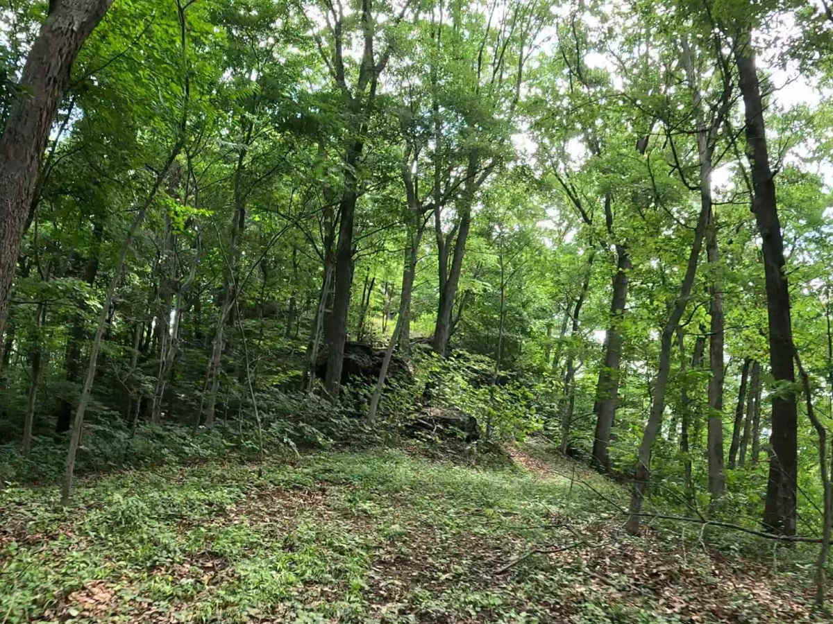
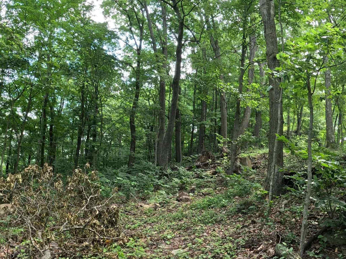
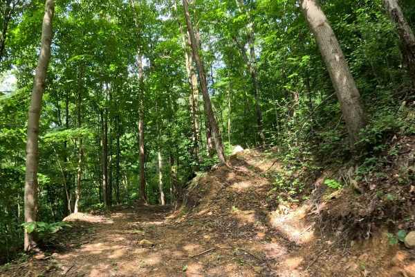
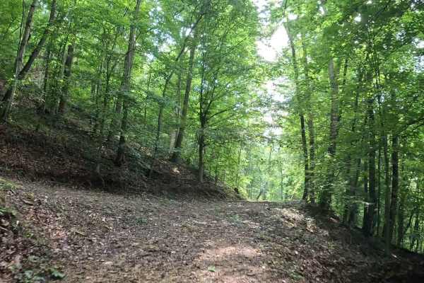
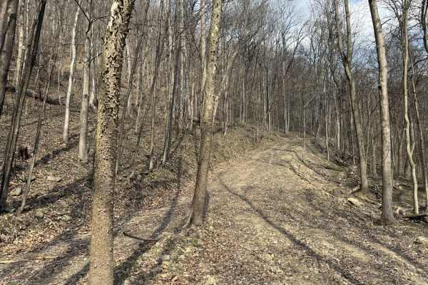
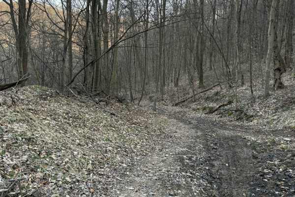
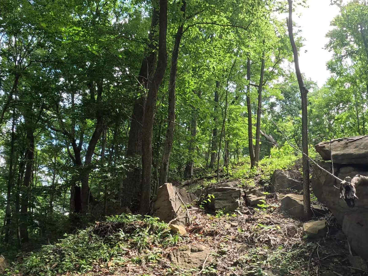
Q16A is a highly technical connector trail that branches from Q14 and provides access to Q16. The trail can be traveled in either direction and offers a more challenging alternative to the surrounding routes. The trail consists primarily of dirt with scattered small gravel and rocks. A rock crawl obstacle is the defining feature of the trail and is the primary reason for its high difficulty rating.

Photos of Q16A

Difficulty

Difficult. Technical terrain featuring a rock crawl obstacle. Best suited for experienced drivers in 4WD, high-clearance vehicles. The trail surface can become slick when wet, reducing traction on the approach to and through the rock obstacle. Riders should assess conditions before attempting the obstacle.

Technical Rating

7

Q16A Trail can be accessed by the following ride types:

  • Single Track
  • 50 Inch
  • 60 Inch
  • High Clearance
  • Full Width

Q16A Map

The onX Offroad Difference

onX Offroad combines trail photos, descriptions, difficulty ratings, width restrictions, seasonality, and more in a user-friendly interface. Available on all devices, with offline access and full compatibility with CarPlay and Android Auto. Discover what you're missing today!

Open Trail Map