Trail Overview
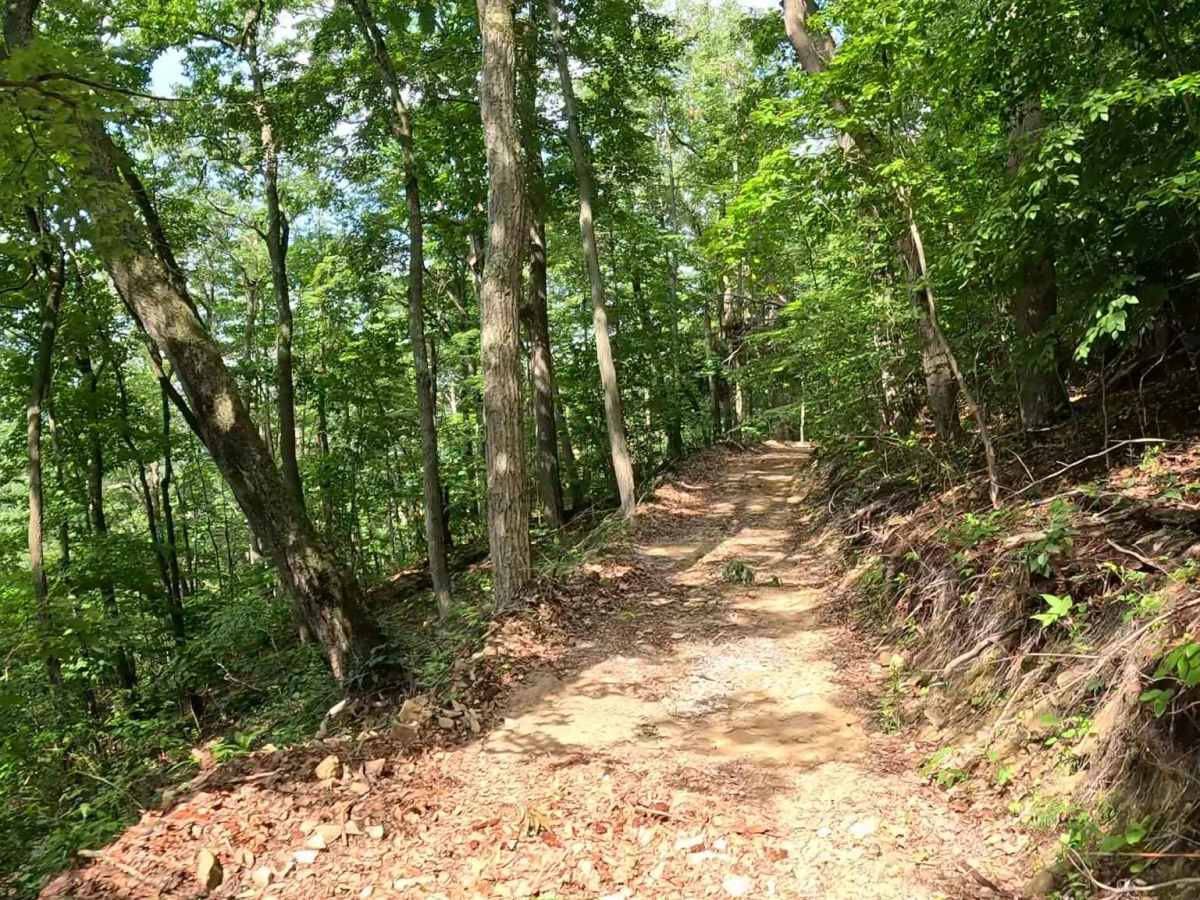
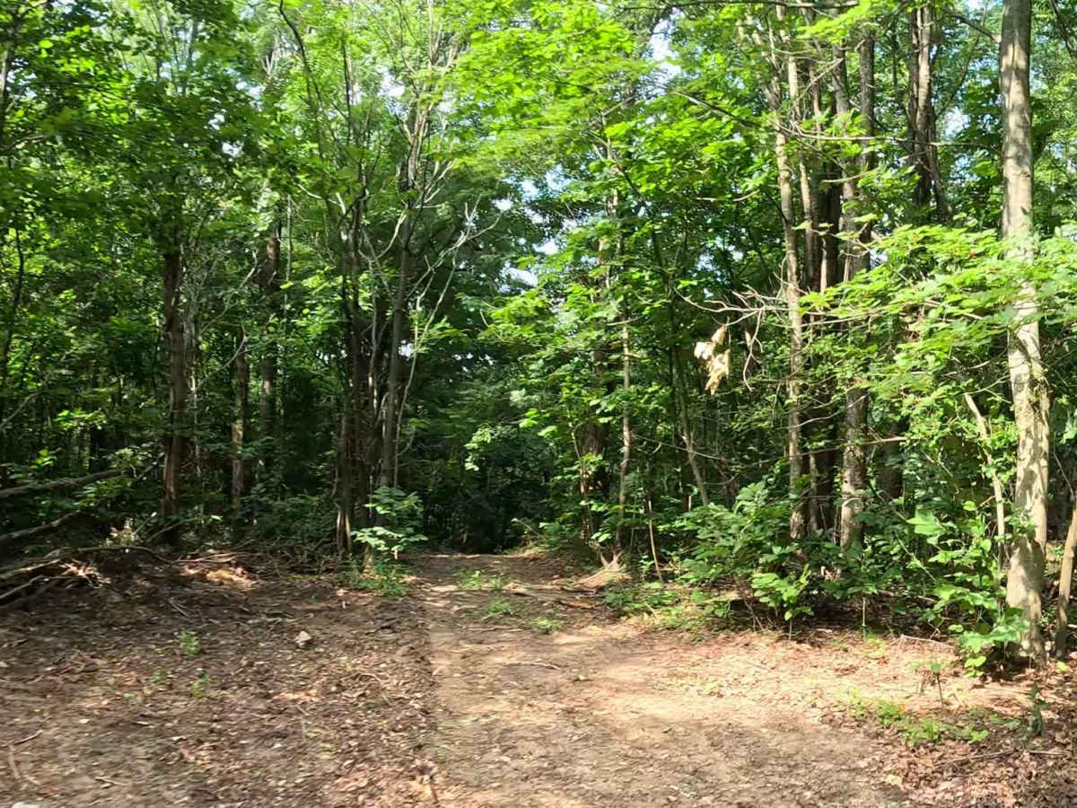
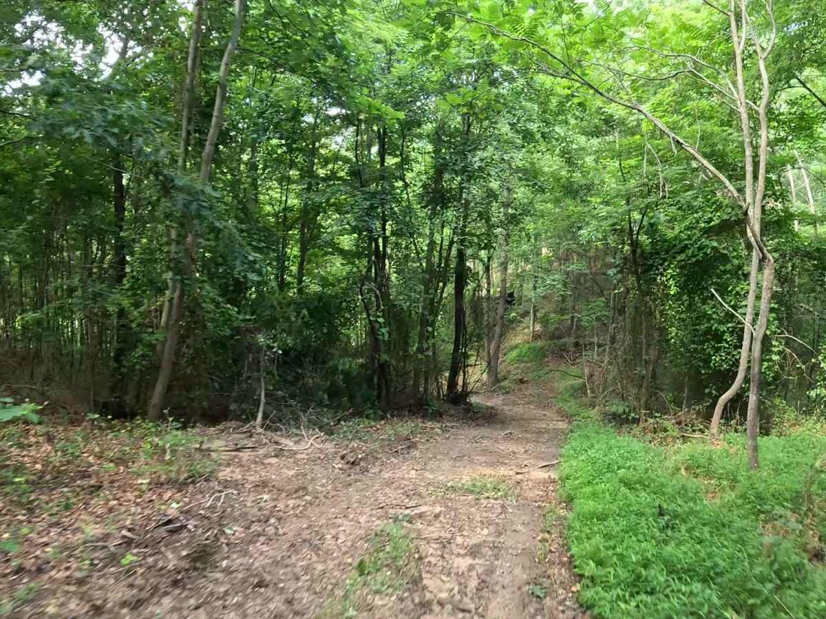
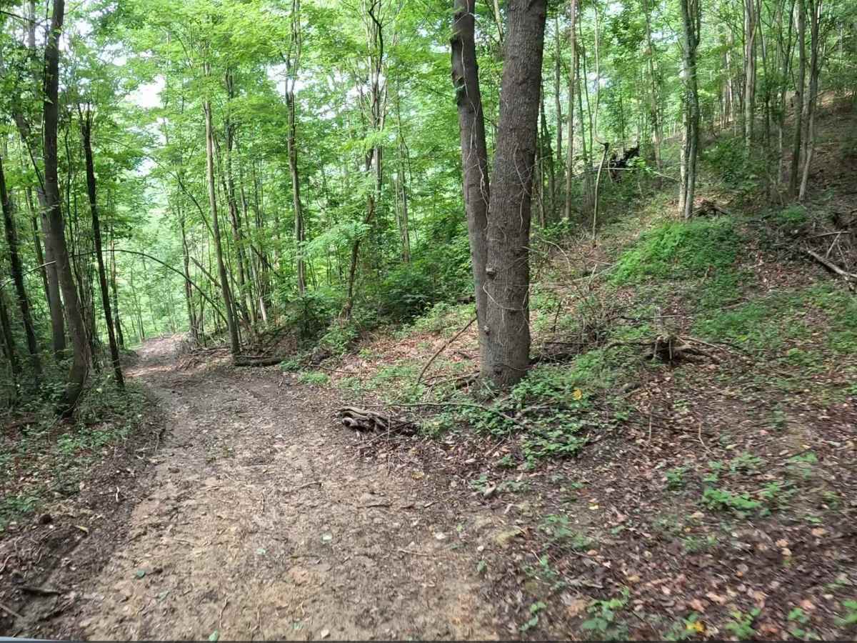
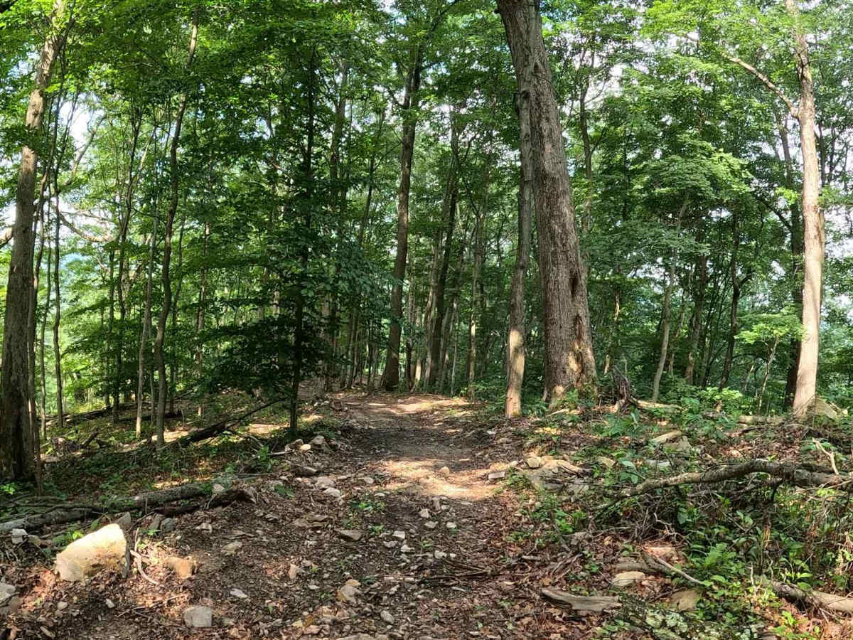
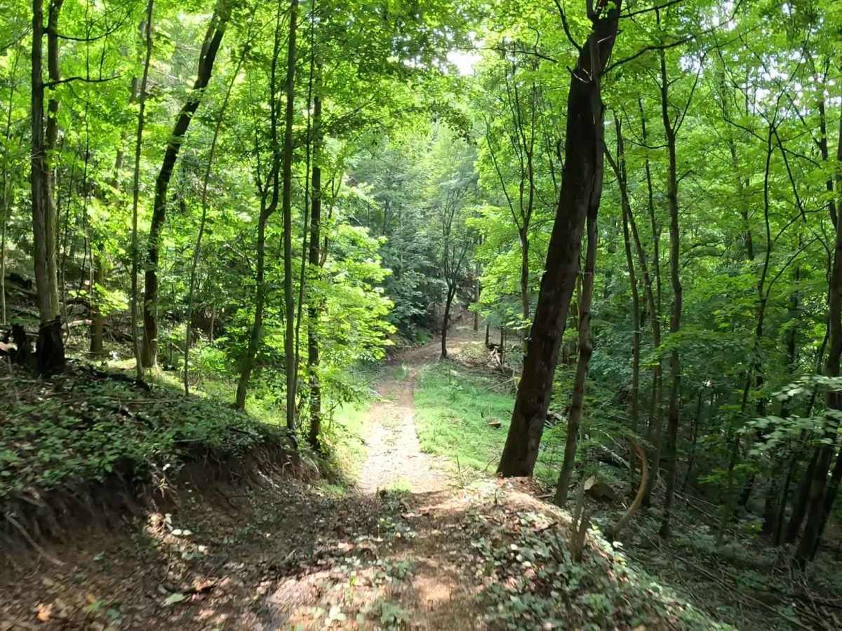
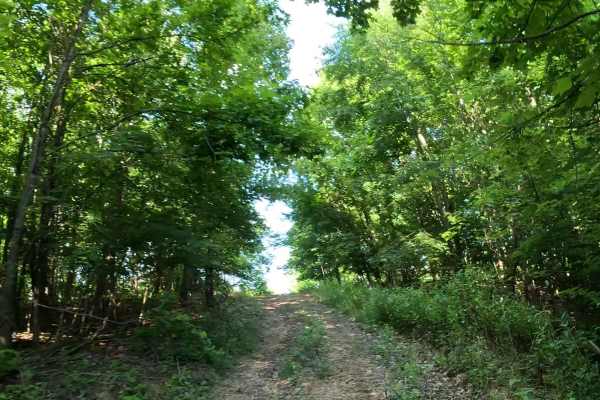
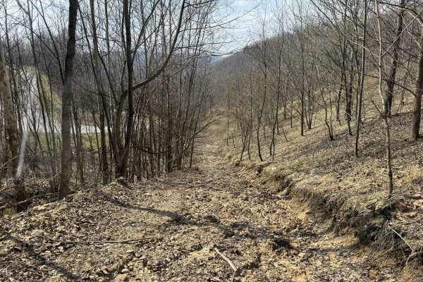
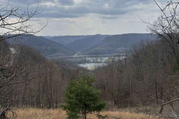
Q14 is a blue-rated connector trail linking Q16 at the upper ridgeline with Q24 below. Featuring nearly 400 feet of elevation change, this trail provides an enjoyable climb or descent while connecting the upper and lower portions of the Quincy sector. This trail also allows branches to connect to Q14A and Q14B trails. The trail consists primarily of soft topsoil with scattered larger rocks that become more exposed over time with increased traffic. The sustained elevation change creates a fun and engaging ride, whether climbing from Q24 or descending from Q16.
Difficulty
Steady elevation changes with loose soil and exposed rock. Suitable for most 4WD and high-clearance vehicles. Requires careful throttle control and line selection, particularly on steeper sections. Soft soil can become slick after rain, and exposed rocks may create traction difficulty in high-traffic areas. Wet conditions can significantly increase the difficulty of both the climb and descent.