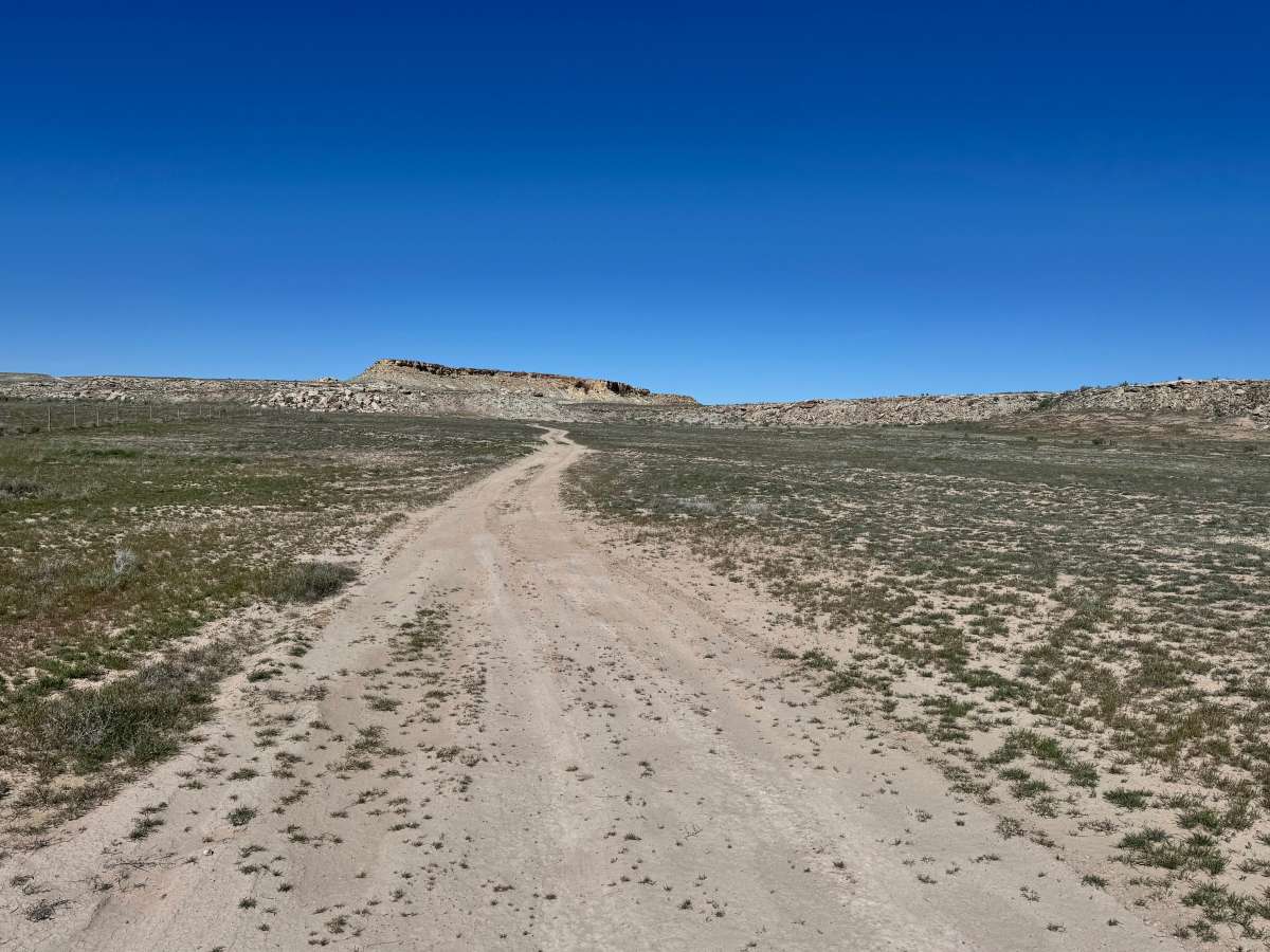
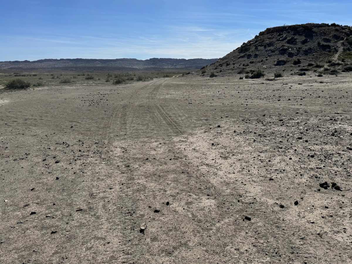
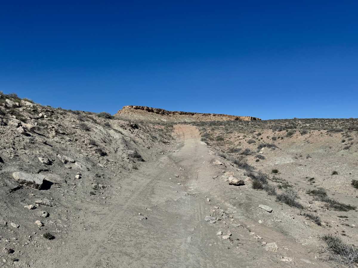
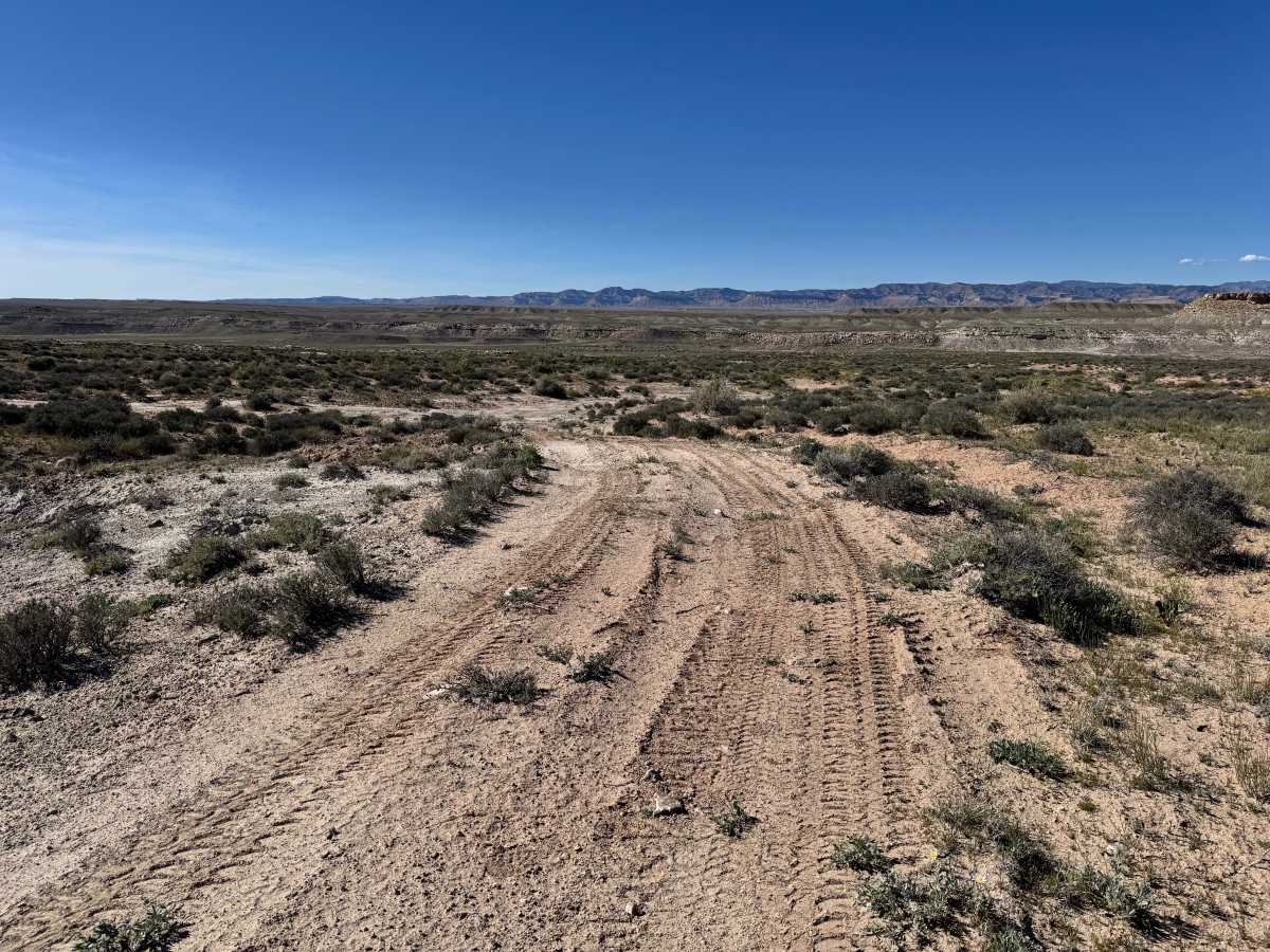
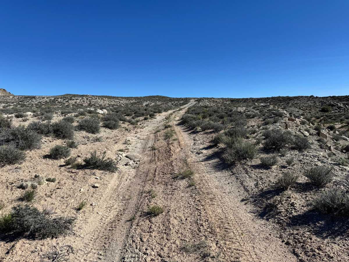
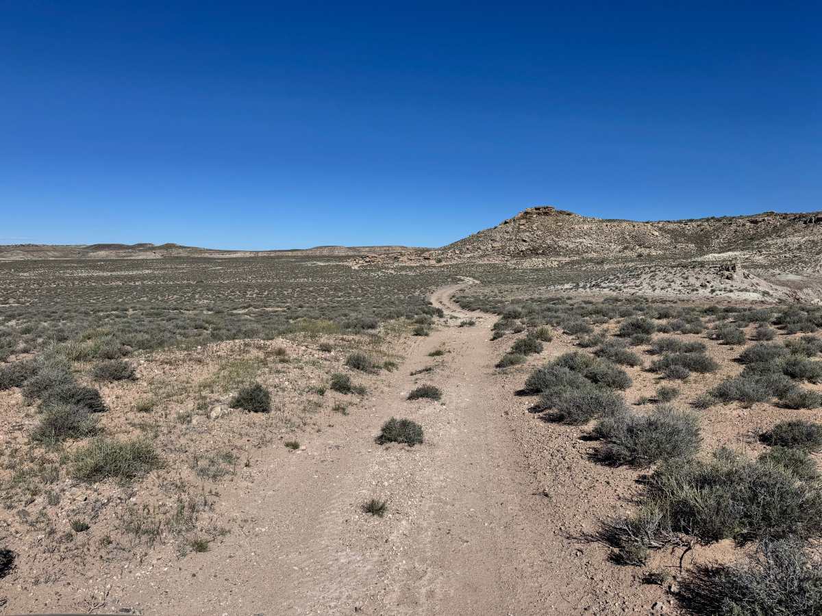
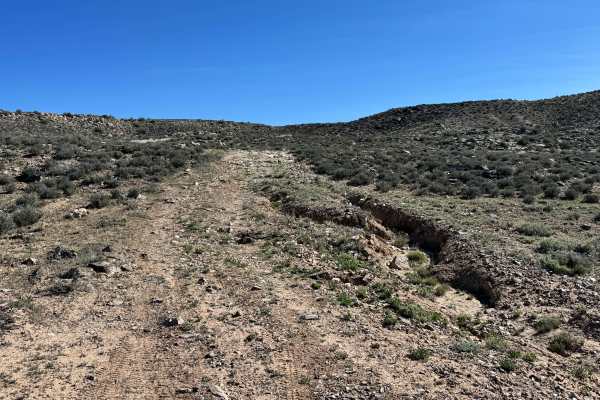
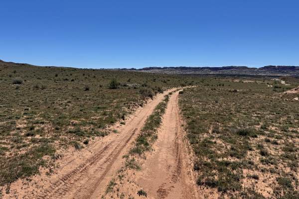
Trail Overview
Non-Resident OHV permits apply to ATVs, UTVs, and dirt bikes. Plated street-legal vehicles typically do not need one on legal motorized routes. This scenic connector route travels from one side of Yellow Cat Road to the other, offering a quieter and more visually rewarding alternative to the main road through the area. The trail winds across open desert flats, low rolling hills, and wide stretches of classic canyon country terrain. Along the drive, you are surrounded by expansive views of weathered mesas, scattered rock outcroppings, and the rugged beauty that defines the Yellowcat region. The remote feel of the landscape makes it easy to slow down and take in the scenery without the traffic often found on the main route. While the trail can be mildly rocky or uneven in places, it remains an enjoyable and accessible way to experience the area’s wide-open desert character.
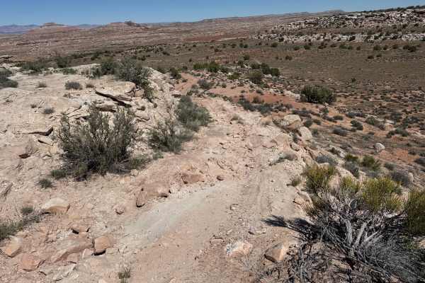
Difficulty
This route is mostly straightforward and well-suited for high clearance stock 4x4s. The terrain is generally mild, with only occasional rocky, uneven, or washed sections that may require slower speeds. There are no major ledges, steep climbs, or highly technical obstacles, making it a good scenic option for newer off-road drivers looking to explore the Yellowcat area. Vehicles with tires smaller than 33-inches or lower clearance vehicles should use caution in washout areas.
History
This region is closely tied to the uranium and vanadium mining booms that shaped eastern Utah in the mid-1900s. During the Cold War, demand for uranium surged, bringing roads, claims, camps, and small industrial sites into the desert. Evidence of that era still remains today in the form of old structures, fenced or barricaded mine openings, tailings areas, and abandoned access roads. These remnants are part of the area’s story, look at and photograph them without disturbing anything.