Trail Overview
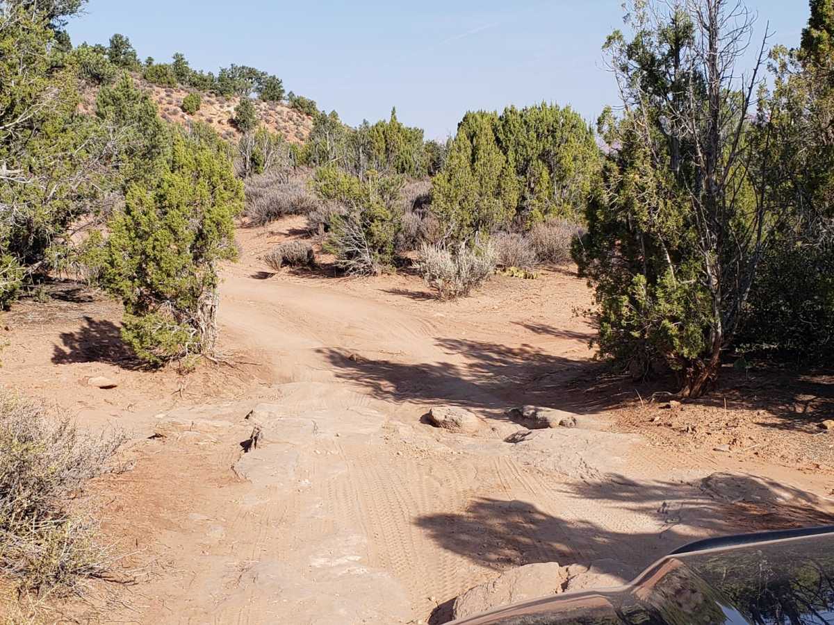
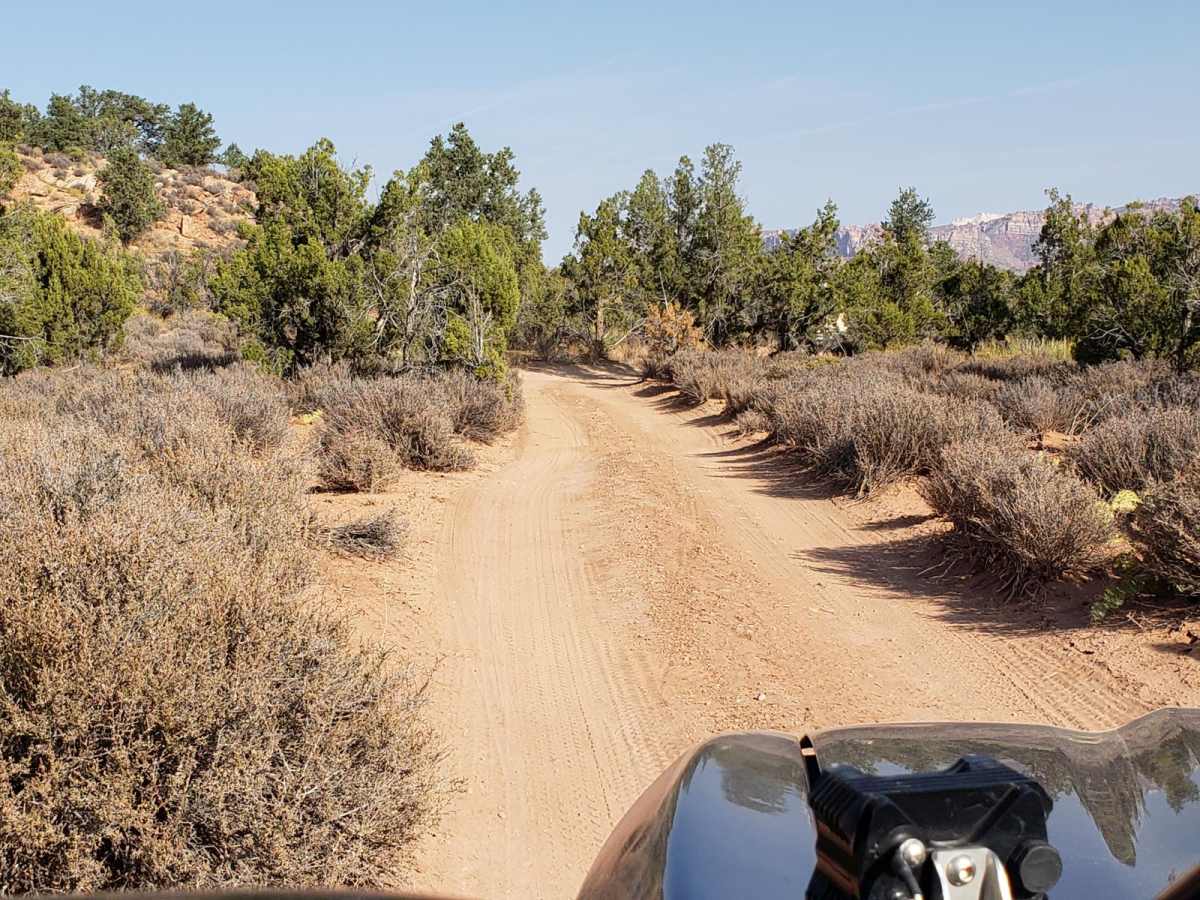
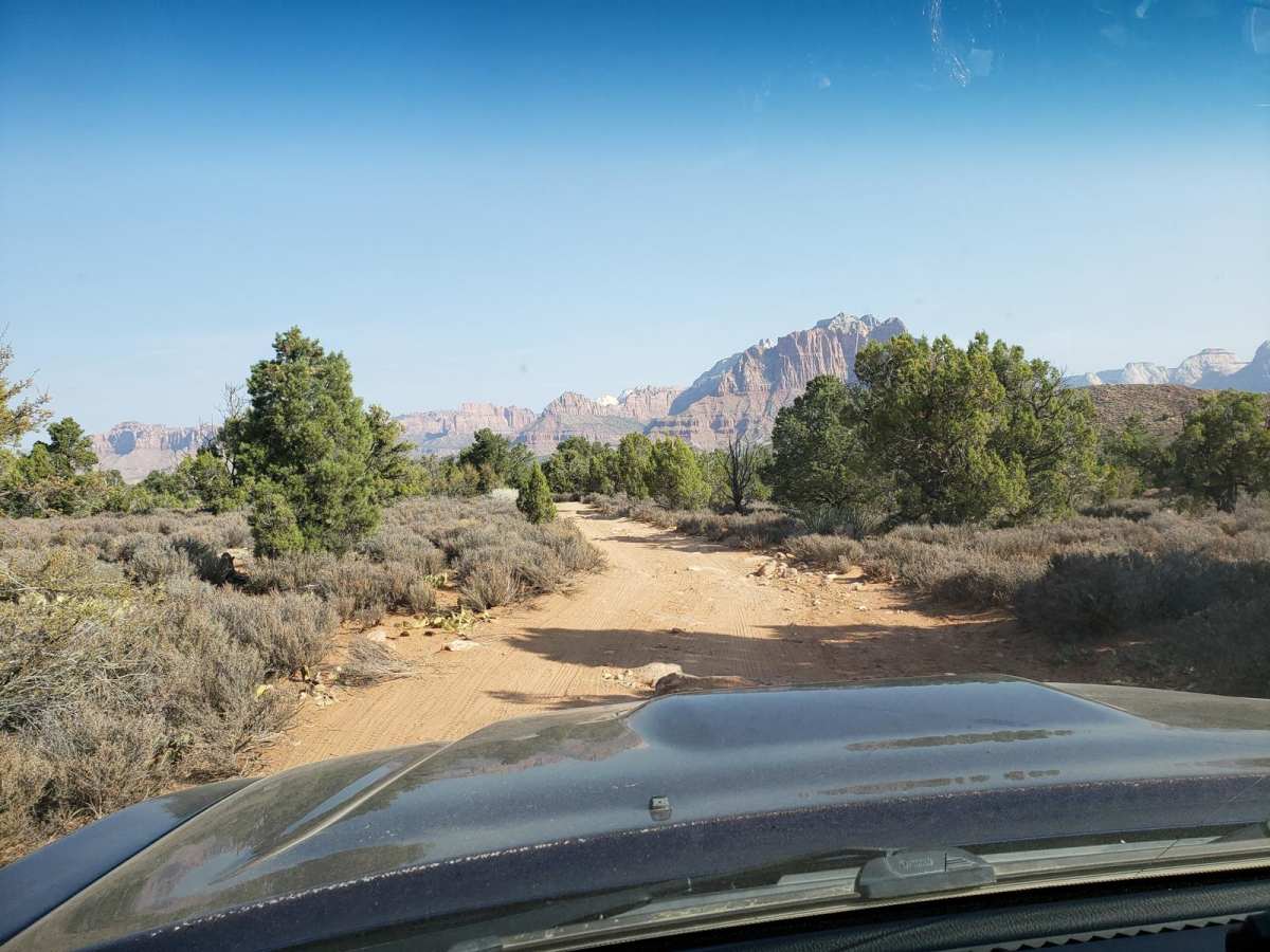
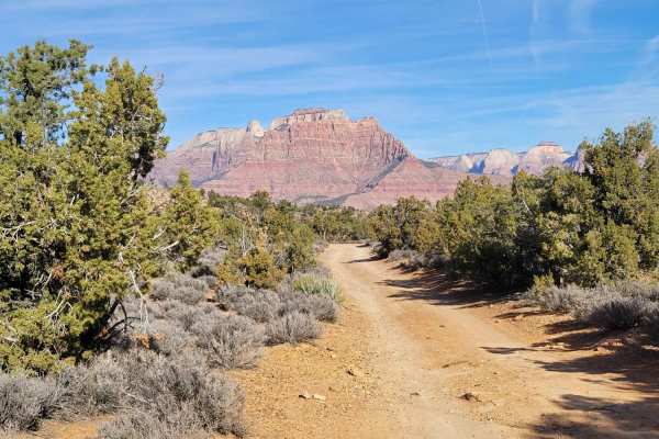
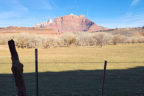
Wire Mesa is a scenic, 1.4-mile dirt route traversing a high desert plateau near Rockville, Utah, offering exceptional views of the surrounding red rock landscape near Zion National Park. While the area is well-known as a premier mountain biking destination, this off-road trail continues past the main trailhead parking lot into Bureau of Land Management (BLM) territory.
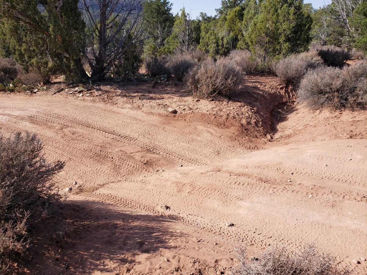
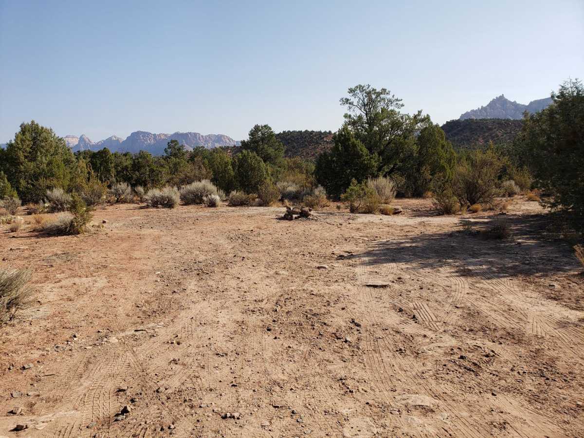
The route features numerous primitive dispersed campsites with established fire rings scattered throughout the plateau. The driving difficulty is generally low, making it accessible to most vehicles. However, a deep run-off ditch roughly halfway along the route poses a high-centered risk, and low-clearance vehicles should avoid crossing it. The route does not culminate in a scenic overlook but rather ends abruptly, requiring drivers to turn around and trace their path back.
Access Description
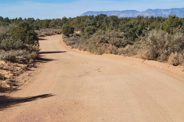
The route is on public land managed by the Bureau of Land Management (BLM) St. George Field Office. There are no fees or permits required for access or dispersed camping. The dirt road consists of clay that becomes extremely slick and virtually impassable when wet; travel should be avoided during or after rain.