West Mtn Side Trail

Total Miles1.7
Technical Rating
1Easy
Best TimeWinter, Fall, Spring
Trail TypeFull-Width Road
Accessible By
Open Trail Map

Trail Overview

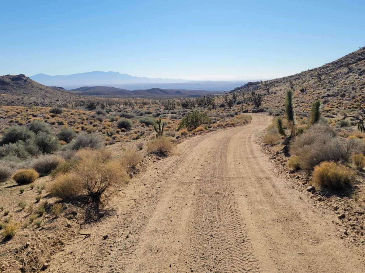
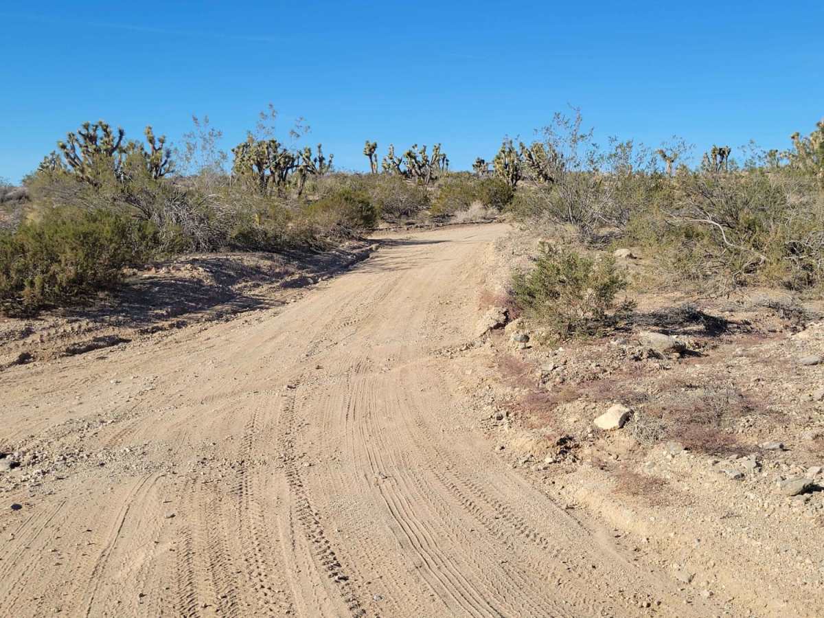
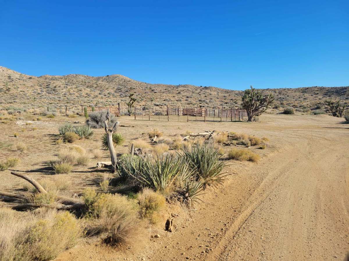
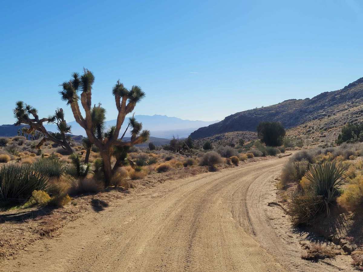
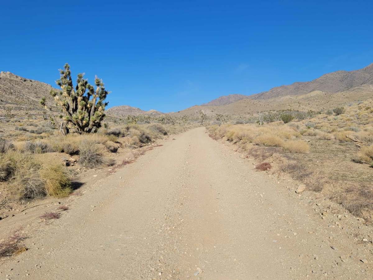
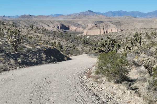
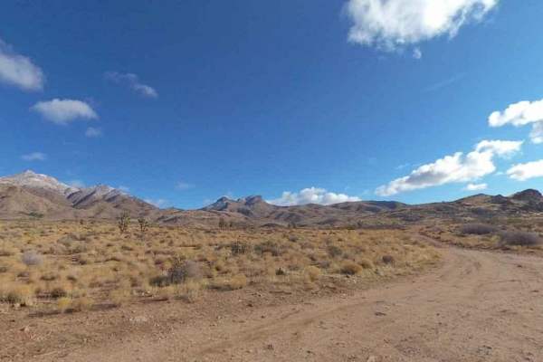
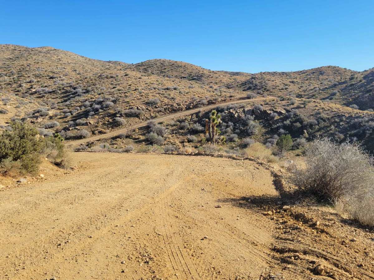
West Mtn Side Trail is a 1.7-mile desert connector in the Beaver Dam Wash National Conservation Area. This easy dirt road links Lytle Ranch Road to the West Mountain Route and is accessible for two-wheel-drive vehicles. The well-maintained trail is wide enough for vehicles to pass and climbs gently from 3,585 feet to 4,028 feet, showcasing views of Washington County's rugged terrain. Vehicles must remain on designated paths to protect sensitive Mojave Desert wildlife, including the desert tortoise. The remote environment and extreme summer temperatures require preparation, including carrying extra water and reliable navigation tools.

Photos of West Mtn Side Trail

Difficulty

Easy enough for 2WD vehicles and wide enough for 2 vehicles to pass.

Technical Rating

1

West Mtn Side Trail Trail can be accessed by the following ride types:

  • Single Track
  • 50 Inch
  • 60 Inch
  • High Clearance
  • Full Width

Access Description

The trail is located within the Beaver Dam Wash National Conservation Area, managed by the Bureau of Land Management. Motorized vehicles must remain on designated routes at all times to protect sensitive wildlife, including the desert tortoise. No permits or fees are required to drive this route, but extremely high summer temperatures demand proper hydration and preparation.

West Mtn Side Trail Map

The onX Offroad Difference

onX Offroad combines trail photos, descriptions, difficulty ratings, width restrictions, seasonality, and more in a user-friendly interface. Available on all devices, with offline access and full compatibility with CarPlay and Android Auto. Discover what you're missing today!

Open Trail Map