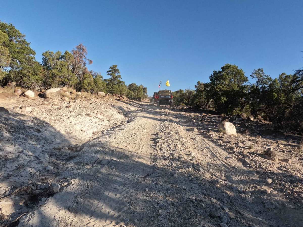
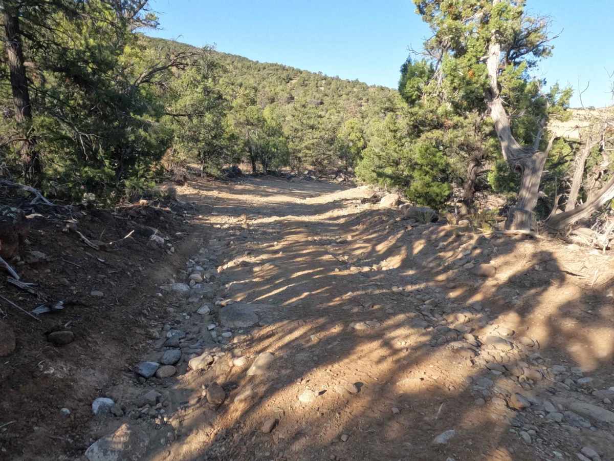
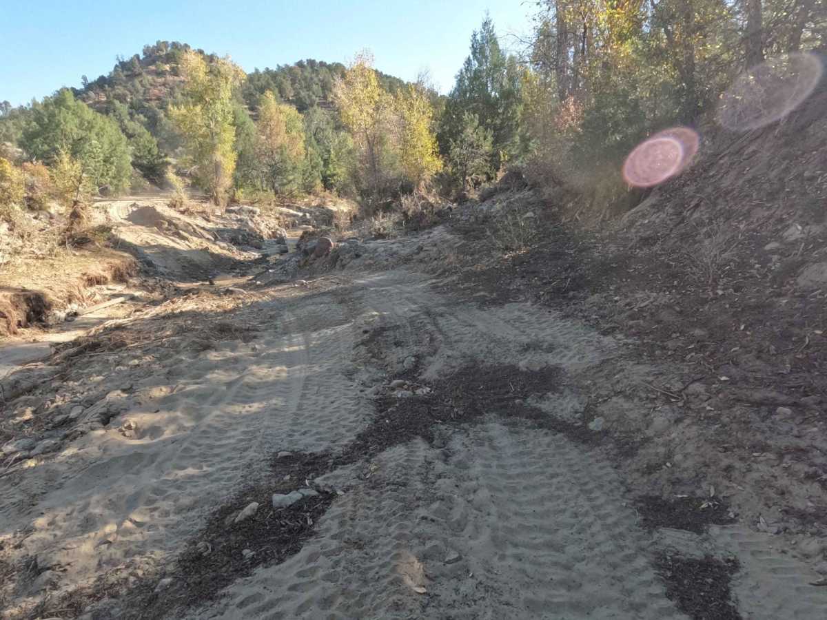
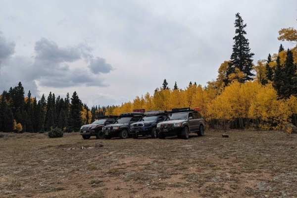
Waterline Road - BLM6850

Total Miles 6.1
Technical Rating
3 Easy
Best Time Spring, Summer, Fall
Trail Type High-Clearance 4x4 Trail
Accessible By
Open Trail Map

Trail Overview

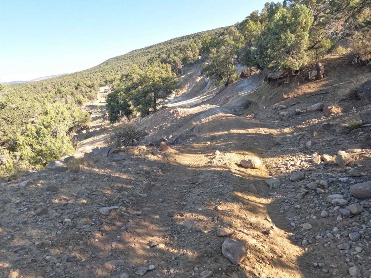
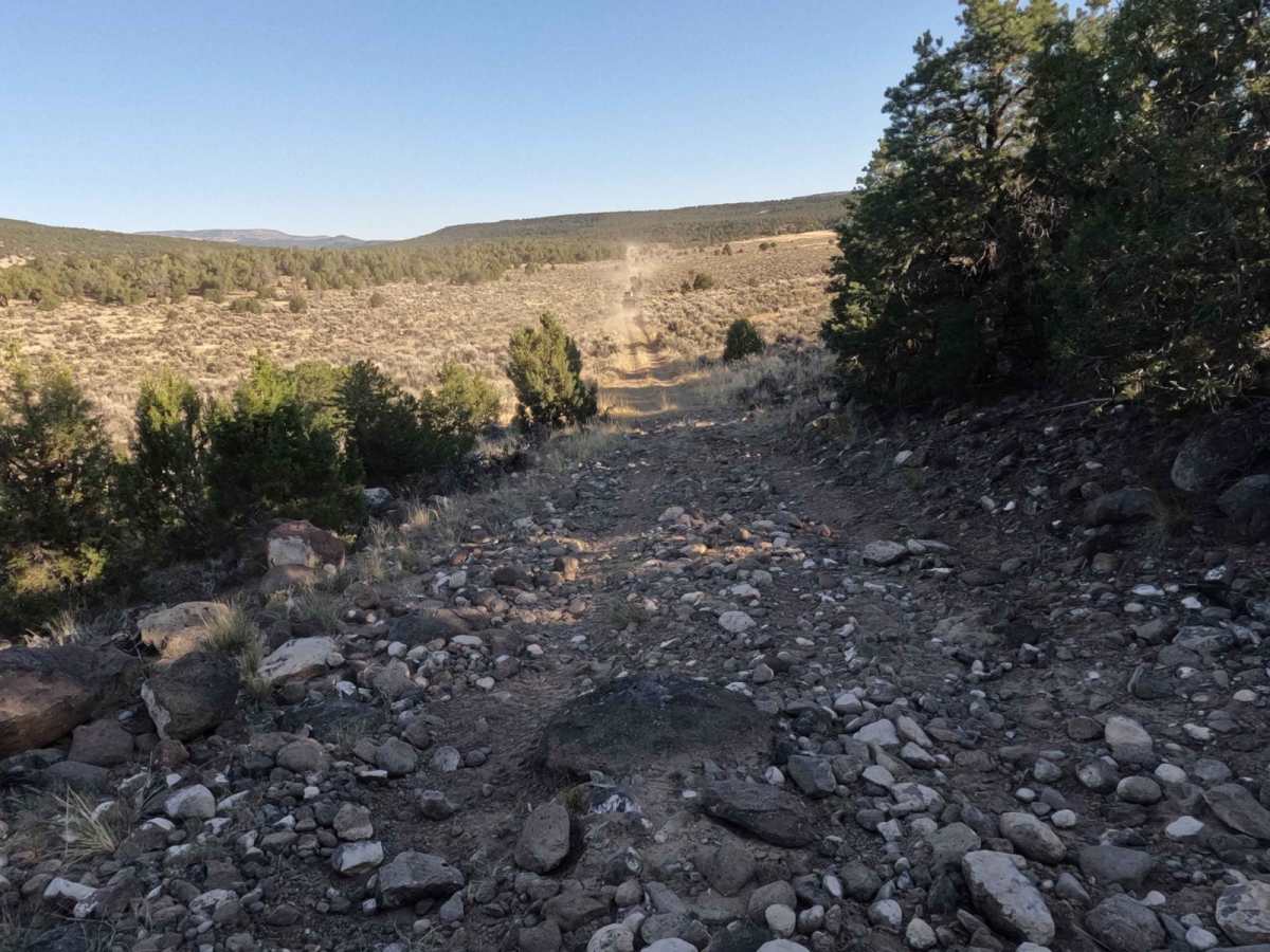
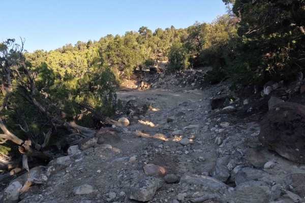
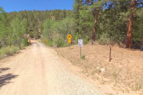
This road starts just north of the Escalante Petrified Forest State Park and runs north, to an intersection with the Hell's Backbone Loop Road. That road is a heavily traveled road for visitors wanting to get up to the Hell's Backbone area. For that reason, this road is a nice alternative that does provide some challenges for the off-roader but nothing a well-equipped vehicle should be able to handle. This is a four-wheel drive trail and if there has been recent moisture you may want to stay with the main road as areas do experience washes and mud. There a some moderate climbs and washes, when ridden, that you will need to traverse. This is maintained periodically but that timeframe has been increasing lately so the trail does get rougher over time. On the north end, you will pass through a stream that does experience flooding during heavy rain periods.

Photos of Waterline Road - BLM6850

Difficulty

The trail includes some off-camber situations when climbing and descending over the route. There are also some tight turns and sections with some moderately sized rocks to negotiate. Most normally equipped off-road vehicles should have no difficulty with this trail. You will need 4WD and higher clearance. On the north end, there are some narrow areas with sharp turns to negotiate.

Technical Rating

3

Status Reports

Add Status Report
Gary Tarbet
Oct 14, 2025
Open
This trail has significant washout at 37° 47' 48.61" N 111° 38' 30.00" W. While we were able to get our vehicles by the large rock and hanging rocks it was very sketchy. In addition, the trail previously was open to Reservoir Road with an exit through the State Park. Access to the road is now blocked by a fence, locked gate and the property is posted. In addition, Reservoir Road is also closed by a locked gate at 37° 47' 26.76" N 111° 38' 13.88" W (the back entry entry to the Escalante State Park). I apoligize for not getting more photos but it was getting late and we were in a situation that required all attention to navigating the group to safety. This photo was taken just above the most sketchy area.
Roger Crawford
Apr 28, 2025
Open
This trail is closed. It was actually never a trail as it crosses private property at the state Park gate and has never been set up for trail access. Wasn’t allowed in 2024 and still isn’t allowed in 2025 per the rangers.
Brent Mackie
Mar 23, 2025
Open
Appears they put up new barbed wire. No more access from res side

Waterline Road - BLM6850 Trail can be accessed by the following ride types:

  • Single Track
  • 50 Inch
  • 60 Inch
  • High Clearance

Waterline Road - BLM6850 Map

The onX Offroad Difference

onX Offroad combines trail photos, descriptions, difficulty ratings, width restrictions, seasonality, and more in a user-friendly interface. Available on all devices, with offline access and full compatibility with CarPlay and Android Auto. Discover what you're missing today!

Open Trail Map