Warner Valley Dinosaur Tracks

Total Miles8.4
Technical Rating
2Easy
Best TimeSpring, Summer, Fall
Trail TypeFull-Width Road
Accessible By
Open Trail Map

Trail Overview

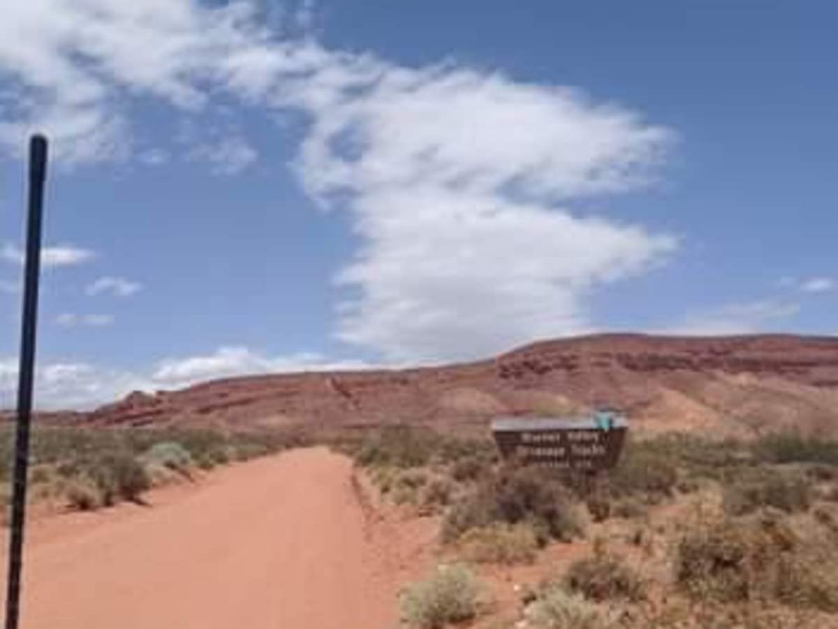
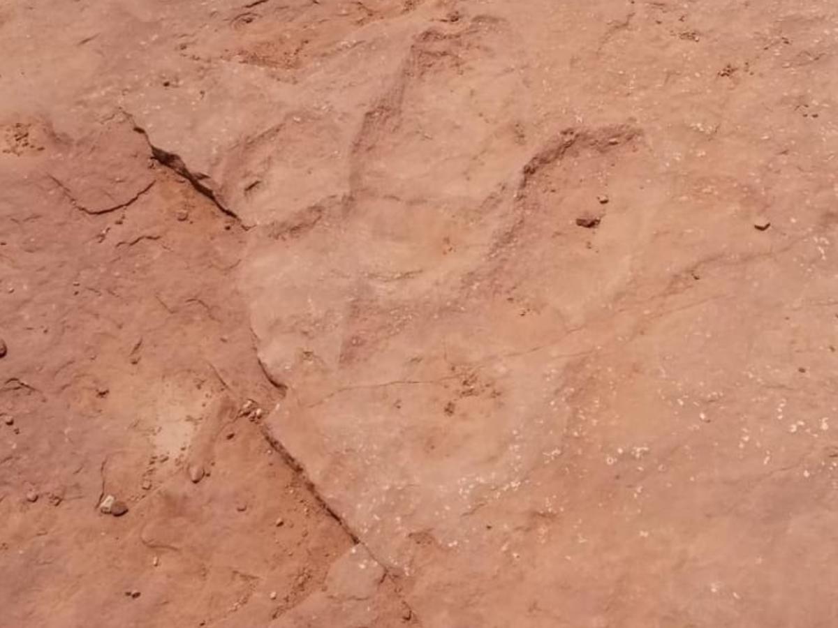
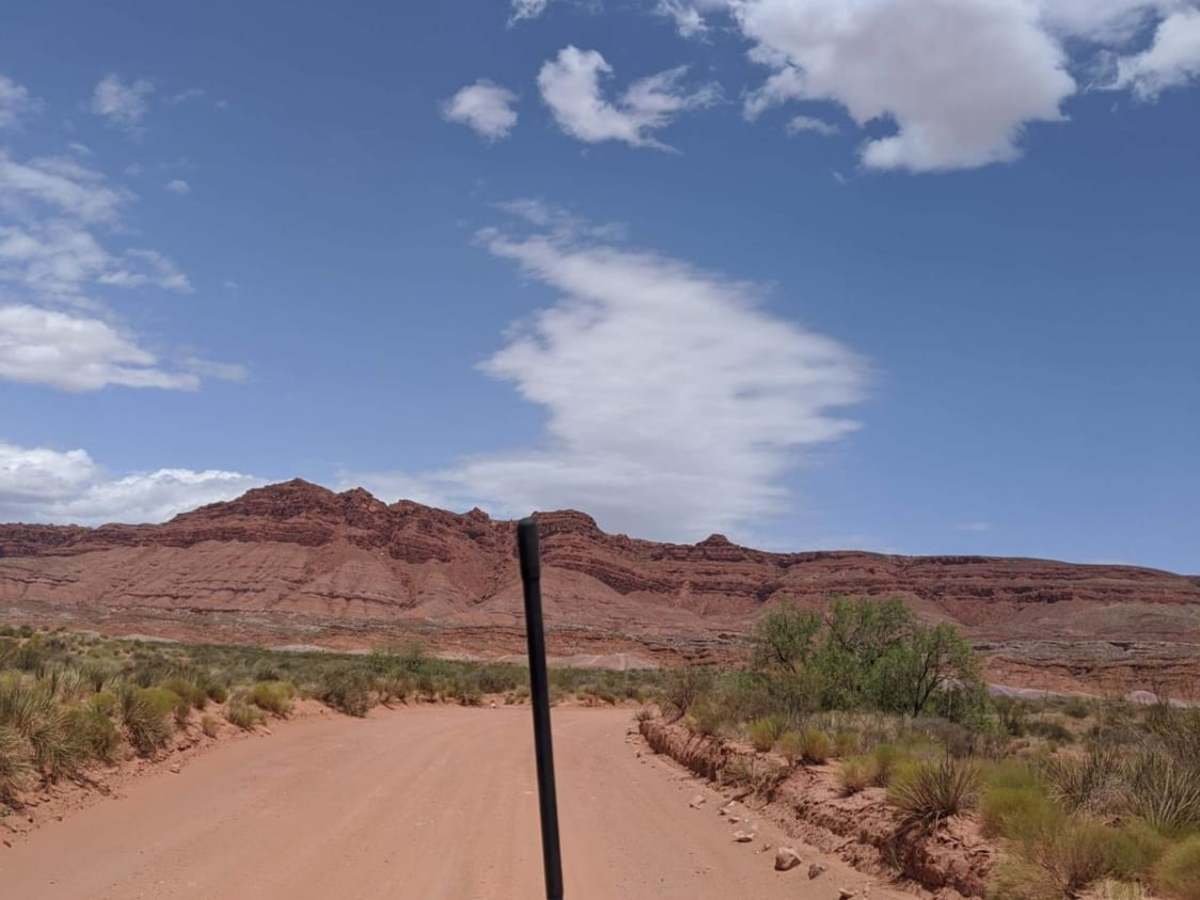
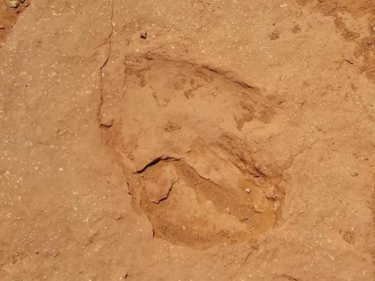
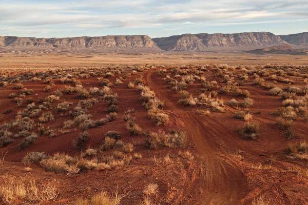
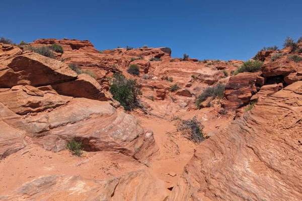
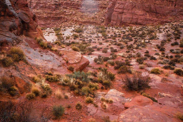
Warner Valley Dinosaur Tracks is an easy, family-friendly 8.4-mile offroad route that offers a scenic journey through Southern Utah's desert to a remarkable archaeological site. This beginner-friendly trail, which rates a 2 out of 10 on the technical scale, serves as a popular feeder road bordering the Sand Hollow OHV area on Bureau of Land Management land near Hurricane and St. George. The route starts near Southern Parkway and gently descends about 426 feet, with elevations ranging from 3,223 feet down to 2,798 feet. Perfect for stock high-clearance four-wheel-drive vehicles, SxSs, and dirt bikes, the unpaved path is mostly straightforward with very few technical obstacles, though local traffic means keeping an eye out for other recreationists. At the end of the route, visitors will find the main attraction: fossilized dinosaur footprints preserved in the red sandstone, along with an informational display at the trailhead. While the short hike from the parking area to the tracks is highly accessible for all ages, the surrounding road conditions can change rapidly. Summer temperatures regularly soar to extreme levels, making ample water essential, while winter rain and summer monsoons can render the dirt surface slick and impassable. To preserve this unique historical resource, offroaders should tread lightly, pack out all trash, and ensure they only take photos of the footprints.

Photos of Warner Valley Dinosaur Tracks

Difficulty

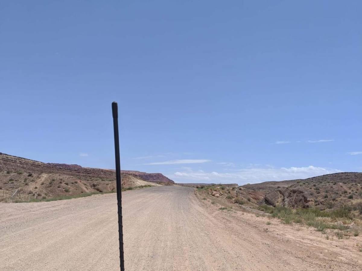
This is a very popular feeder road down Warner Valley with a lot of local traffic.

Technical Rating

2

Status Reports

Add Status Report
Christian Ocampo
May 16, 2026
2004 Chevrolet Silverado
Open
NormalDusty
First time trying trails in my truck and just in general, stayed on the main road and drove through just fine. Sandy part in the middle, didn’t try risking it by myself in a 2500 in case I got stuck. Trail is easy & simple
Esther and Tom Newcomb
May 25, 2025
Open
NormalDusty
This road starts our with gravel, then red dirt. Airdown to 20psi for a smoother ride. Little traffic. Alot of people shooting (practice) off the trails. Took Warner Valley to Dino Tracks. Great view of the back of Sand Hollow State Park. Also, Fort Pearce is on this trail.
Jeremiah Porter
Feb 01, 2025
1995 Suzuki Sidekick
Open
NormalDusty
Sights were good to see from all around. Weather was great. Dusty when passed by others. Trail was good. Passing and some spot a little rough but not to hard for the side kick.
Colton B
Nov 29, 2024
Open
Normal
B V
Nov 06, 2024
Open
DustyWashboard
Worth the ride to see the foot prints. Almost any car should have no issues getting to the parking lot.
Josh Gibson
Sep 07, 2024
2023 Jeep Wrangler
Open
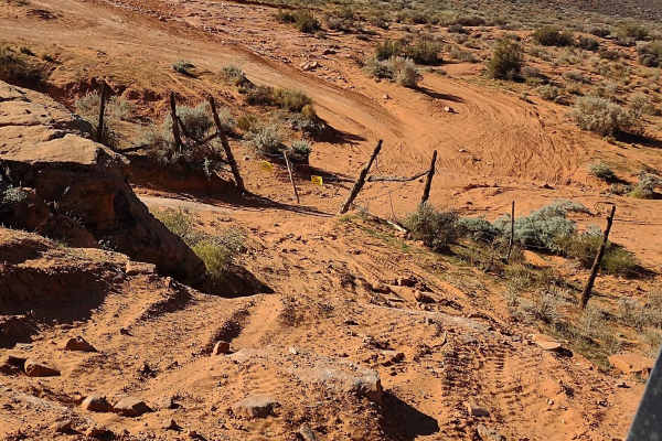
It’s basically a fire road all the way to the Footprints parking area. A few dry wash crossings. Just fine for a 2 wheel drive e car as long as you don’t leave the road and it’s dry. If you park in staging area and decide to hike to the site, make sure you bring water and have proper footwear. If you decide to drive closer using your OnX maps, you WILL need 4 wheel drive! There are sand hills made of the soft stuff close to the footprint site on its north side. Please don’t leave trash or deface natural features.
T E
Sep 03, 2023
Open
Muddy/Wet

Warner Valley Dinosaur Tracks Trail can be accessed by the following ride types:

  • Single Track
  • 50 Inch
  • 60 Inch
  • High Clearance
  • Full Width

Access Description

The trail is located on public land managed by the Bureau of Land Management (BLM). No fees or permits are required for entry. The road can become extremely slick and entirely impassable when wet, particularly during summer monsoons and winter storms. Extreme heat is common during the summer, so travelers should carry plenty of water.

Warner Valley Dinosaur Tracks Map

The onX Offroad Difference

onX Offroad combines trail photos, descriptions, difficulty ratings, width restrictions, seasonality, and more in a user-friendly interface. Available on all devices, with offline access and full compatibility with CarPlay and Android Auto. Discover what you're missing today!

Open Trail Map