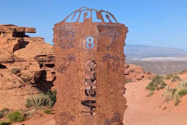
Trail Overview
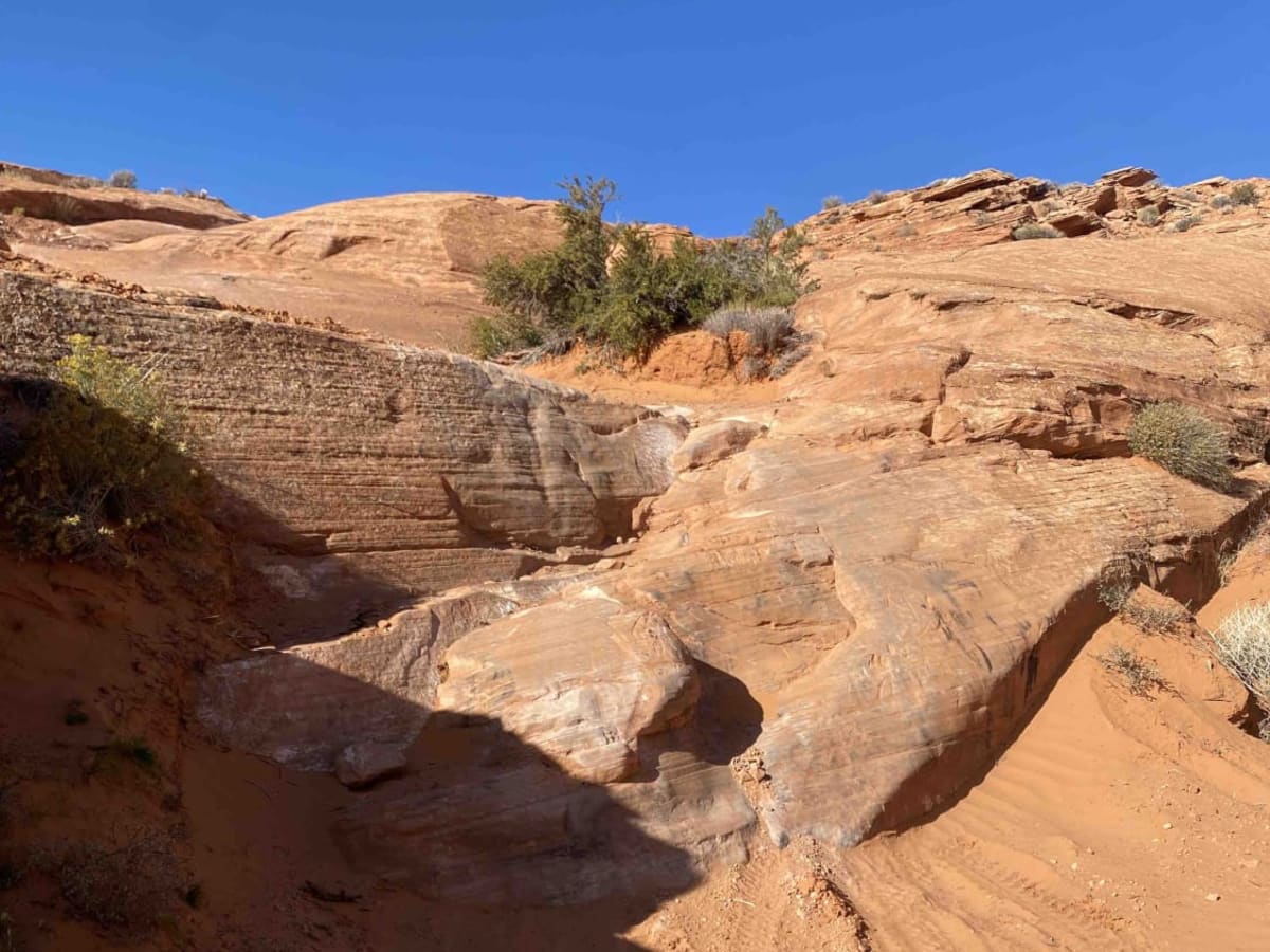
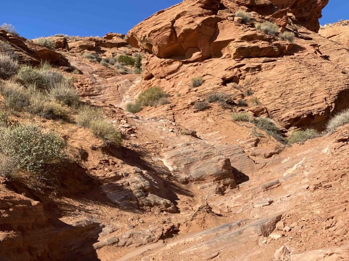
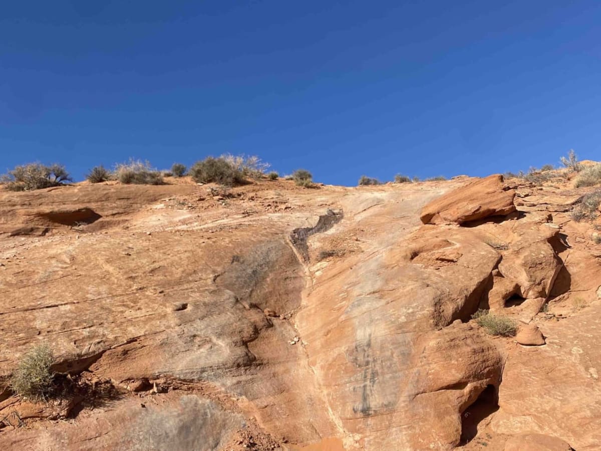
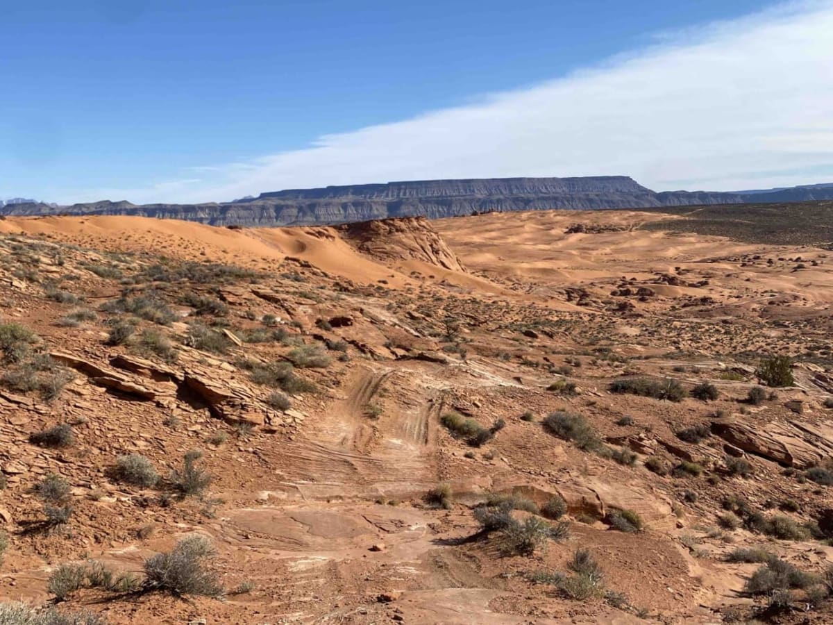
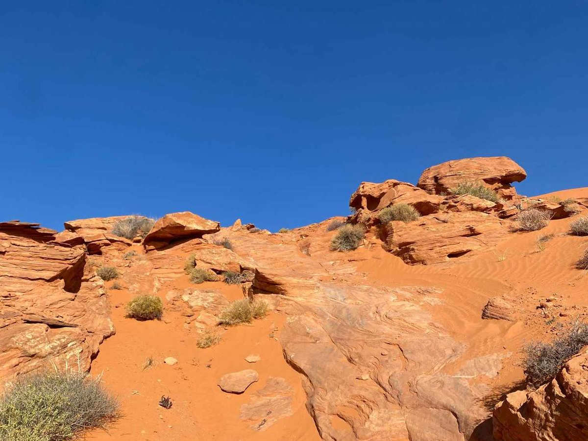
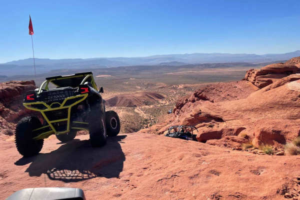
Turtle 2 is a 1.2-mile slickrock loop in the Sand Mountain Recreation Area near Hurricane, Utah. Branching off the Turtle 1 trail, this route features technical red rock obstacles and is best run in tandem with its predecessor. The loop doubles back at the halfway point, requiring drivers to navigate most of the sandstone obstacles in reverse on the return leg, demanding entirely different line choices. Painted arrows on the rock help guide vehicles along the trail.
With a technical rating of 7, the route features several steep, off-camber climbs and descents without high-consequence drop-offs. Elevation ranges from 3,954 to 4,115 feet, with a cumulative gain of 433 feet. While manageable solo, a spotter is helpful on a few of the trickier obstacles to ensure proper tire placement.
Difficulty
T2 has a few steep and off-camber climbs but none are super hard and none hang you over a drop-off. A good spotter may be helpful on a couple of obstacles, but overall this is a fairly easy and very fun trail that can be run solo if wanted.
Access Description
Turtle 2 is located within the Sand Mountain Recreation Area, which is public land managed by the Bureau of Land Management (BLM). Accessing Turtle 2 requires first navigating a portion of Turtle 1. Ensure vehicles are equipped with appropriate off-highway vehicle (OHV) permits required by Utah state and federal regulations.