3 trails found in Utah
Which "trust lands singletrack" are you looking for?
We found 3 off-road trails in Utah matching your search. Pick the one you're looking for below.
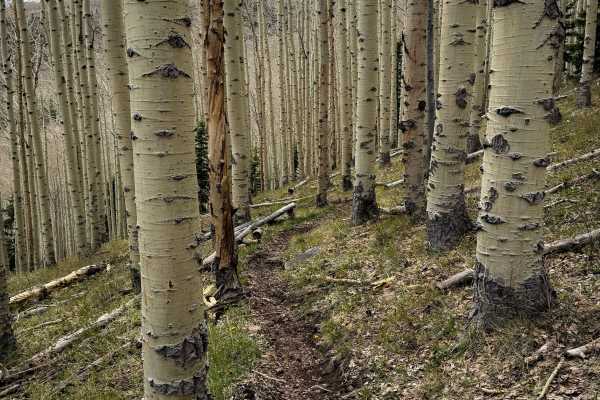
Trust Lands Singletrack
This is a 1.6-mile-long segment of scenic and flowy alpine single track through Utah State Trust Lands. The trail itself is easy, just meandering through aspen-covered grassy hillsides. The trail is mostly a skinny, smooth dirt singletrack, with several tight curves, short climbs and descents, and o...
Learn more about Trust Lands Singletrack
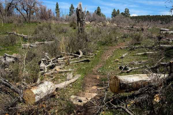
Trust Lands Singletrack (North)
This is a fun and scenic section of singletrack that meanders through aspen groves and scenic meadows in the La Sal Mountain range on Utah State Trust Land. The west end of the trail starts at almost 9,800 feet elevation, and it drops over 1100 feet over 3 miles as it goes east. There are several do...
Learn more about Trust Lands Singletrack (North)
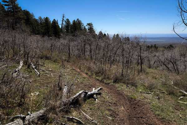
Trust Lands Singletrack (South)
This segment of single track starts on the west end at a trail sign off of 154 that is easy to miss, as it drops off the side of the road into a grassy meadow full of aspen trees. It is a smooth and skinny dirt single track curving through the trees and along a small stream. The trail follows the cr...
Learn more about Trust Lands Singletrack (South)