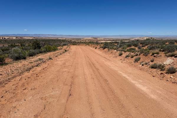
Trail Overview
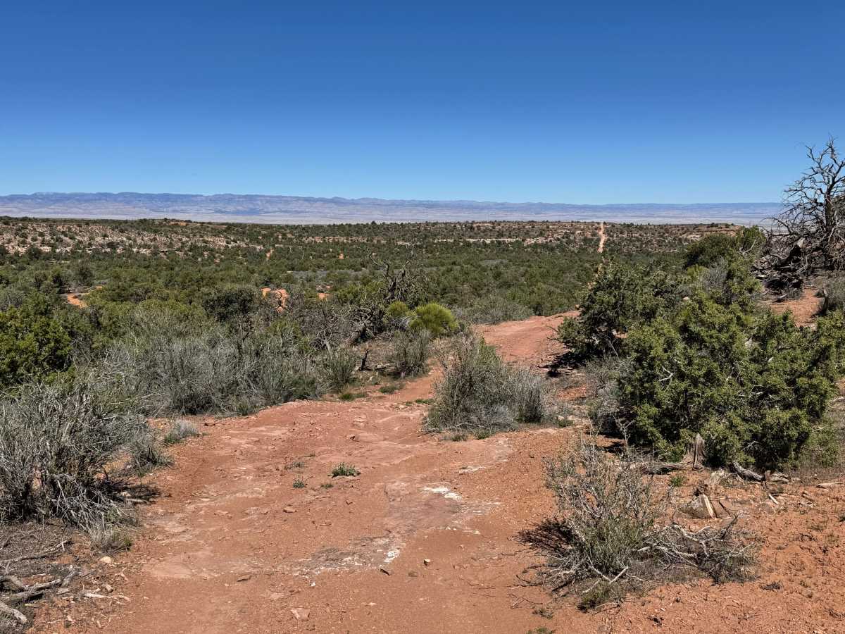
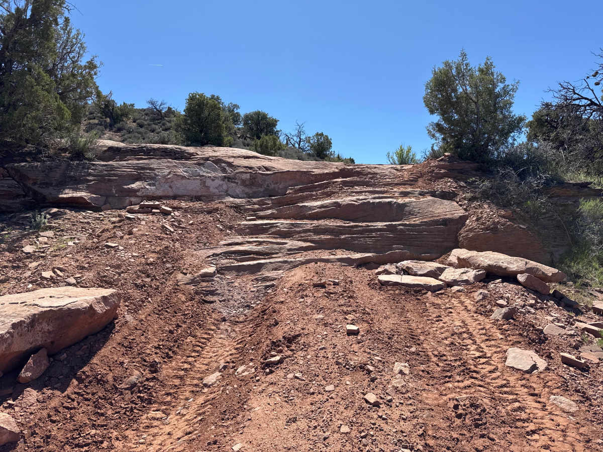
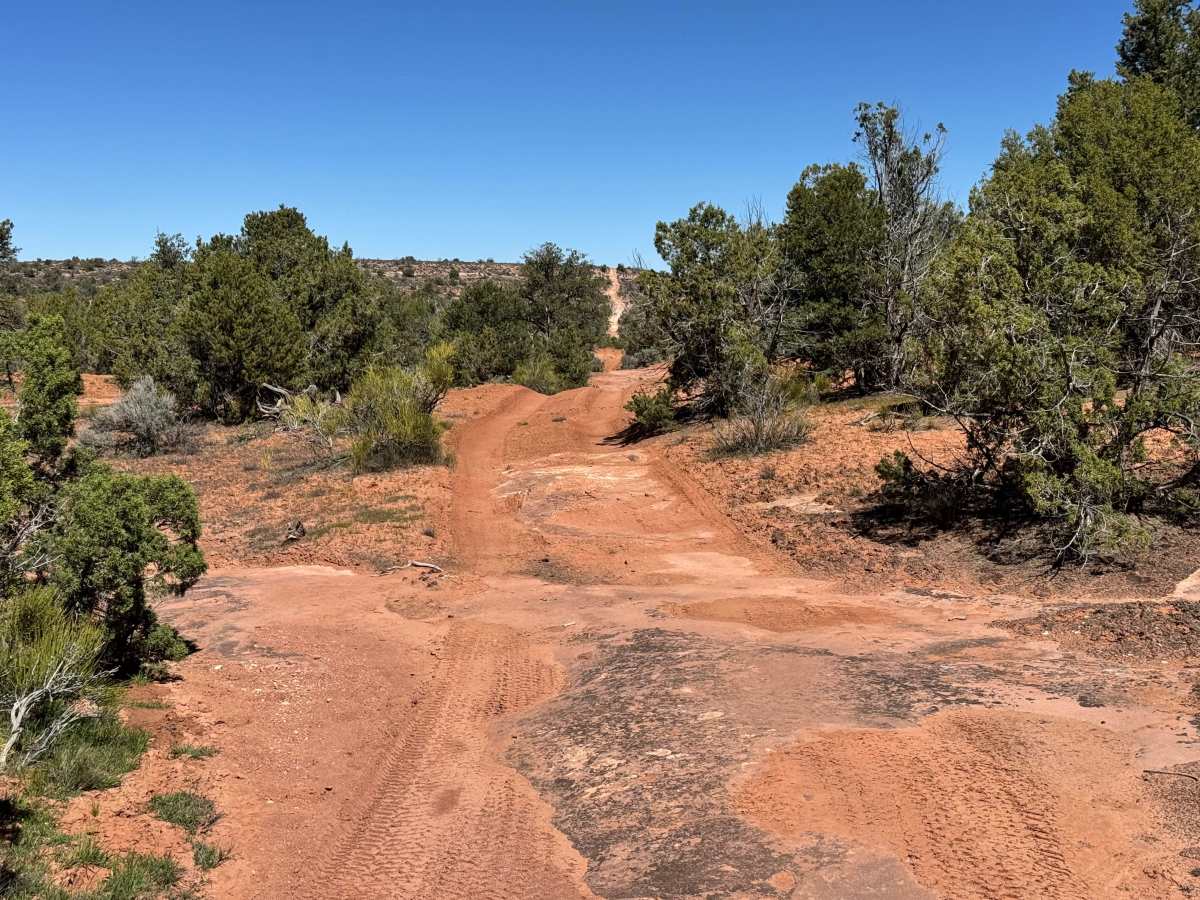
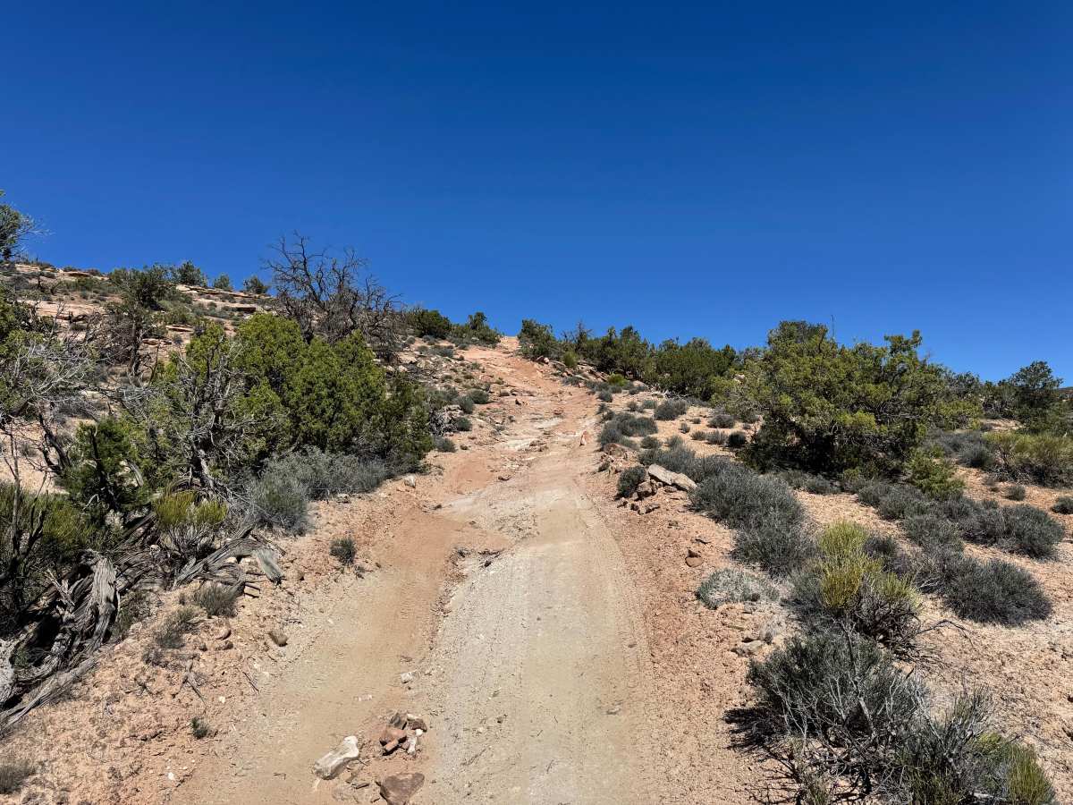
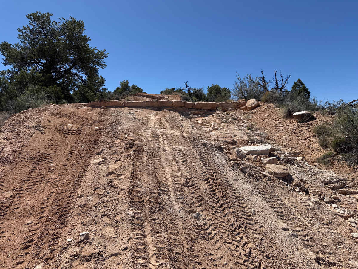
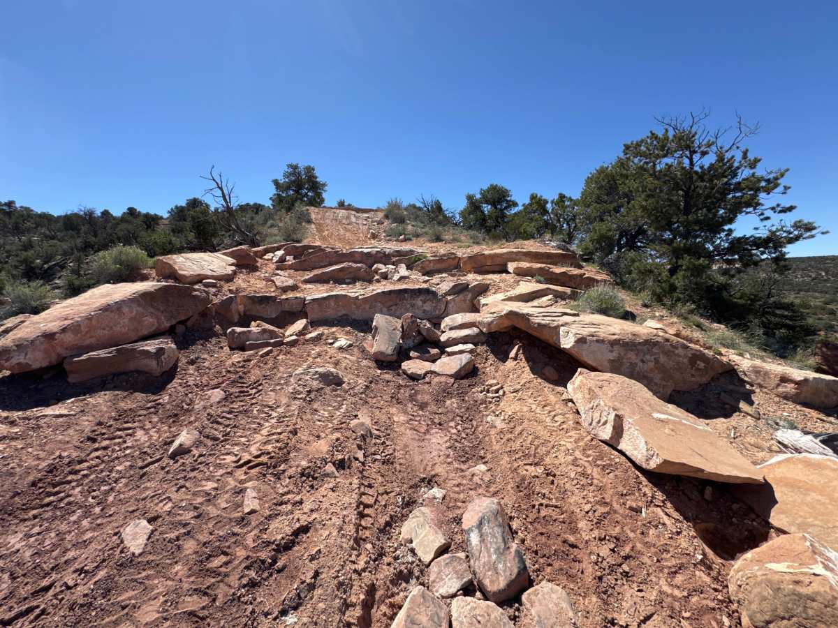
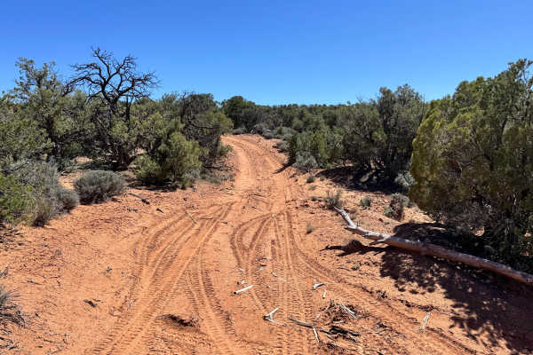
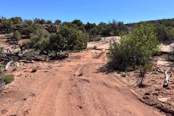
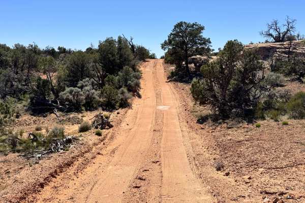
Non-Resident OHV permits apply to ATVs, UTVs, and dirt bikes. Plated street-legal vehicles typically do not need one on legal motorized routes. Acting as a fun connector between Dome Plateau and Highlands Road, this two-mile trail adds challenge and variety compared to the easier dirt roads nearby. The route is mostly made up of dirt and sand with scattered rocks protruding through the surface, creating a rougher and more engaging drive from start to finish. Along the way, drivers will encounter multiple rock ledges ranging from around 12 inches to nearly 2 feet in some spots, along with a few steeper hills that require controlled throttle and careful tire placement. These obstacles are enough to let stock vehicles stretch their capabilities while still being approachable for beginners with good judgment. More experienced drivers may enjoy the change of pace from standard access roads. A few sections are tighter between trees and brush, making pinstriping possible for wider vehicles.
Difficulty
This trail is more challenging than a standard connector route thanks to multiple rock ledges ranging from 12 inches to nearly 2 feet, several steep hills, and uneven rocky terrain. Tight sections between trees can also create pinstriping and require careful vehicle placement. Stock high clearance 4WD vehicles can complete it, but 4lo range, decent clearance, and attention to line choice are recommended.
History
Dome Plateau sits within a region shaped by erosion, mining history, and early backcountry travel routes outside Moab. Today, the trail system is popular with off-road travelers looking to experience classic red rock scenery beyond the busier in-town trails.