2 trails found in Utah
Which "tommy creek loop" are you looking for?
We found 2 off-road trails in Utah matching your search. Pick the one you're looking for below.
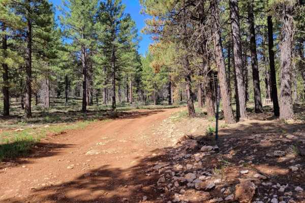
Tommy Creek Loop 1
This nearly 3-mile trail is open to SXS or smaller machines and has some slightly challenging sections. There are some deep erosion areas (ruts) - one of which had water present, large rocky sections to navigate over, as well as some loose rocky spots throughout the trail. A few other trails connect...
Learn more about Tommy Creek Loop 1
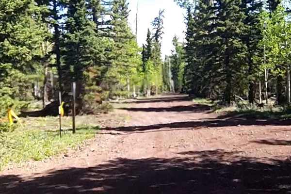
Tommy Creek Loop
This section of the Tommy Creek Loop goes across the Garfield County and Iron County lines. This is a dirt trail and is used in the Forest Service Trail System to access the Duck Creek Area trails. From this trail, the other sections loop using the Markagunt Plateau, Red Desert, and Sage Valley to e...
Learn more about Tommy Creek Loop